-2")

Public Analysis: Cooler and More Unsettled Pattern Taking Shape
Good Afternoon!
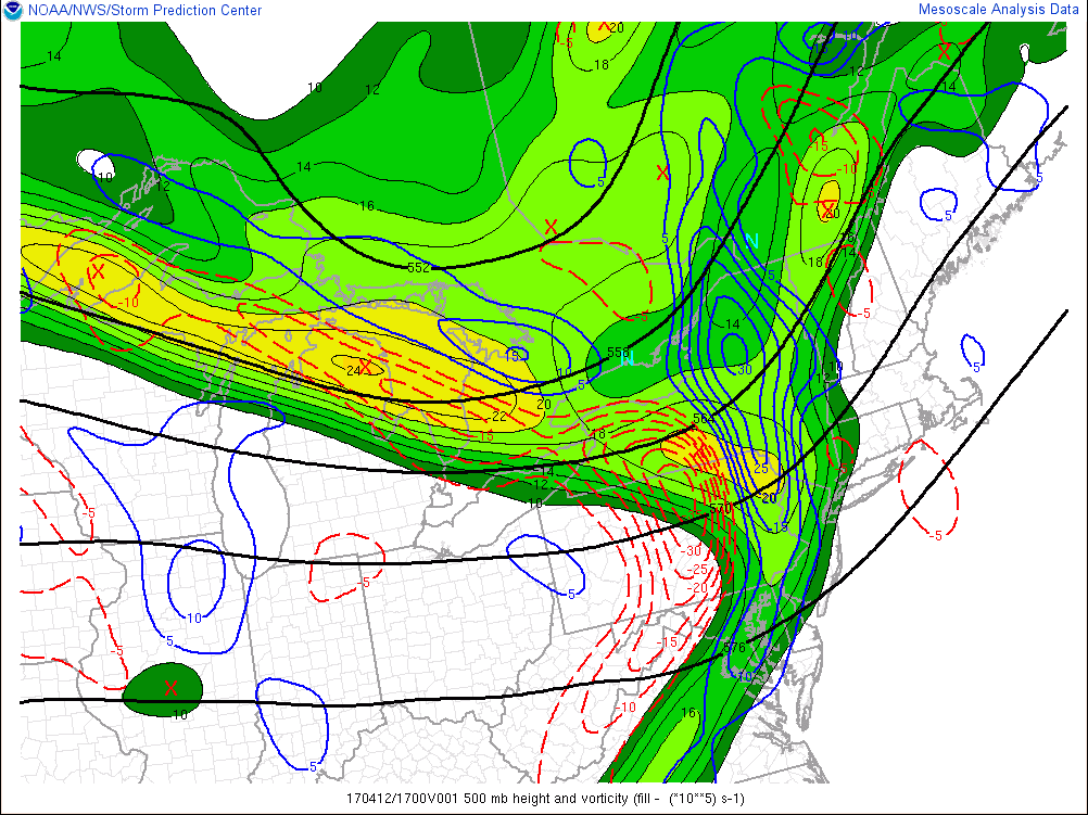
The work week has had a rather dreary start today as cloudy skies and even some rain showers pushed through the area this morning and afternoon. Most of these showers were relatively light in nature, but most of the metro area remained at least under rather thick low level clouds. This area of cloudiness and showers was caused by a weak disturbance in the mid levels of the atmosphere just ahead of a larger system that is still located back in southern Canada.
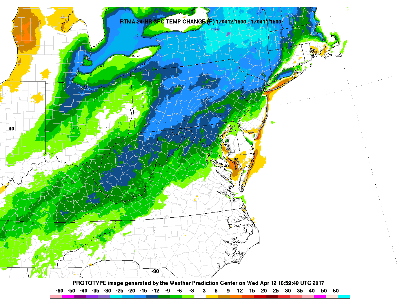
As of 3pm this afternoon, the clouds and showers associated with this weak system have begun to dissipate and move to the east/southeast, giving way to clearing skies over northeast NJ and portions of Connecticut. Despite the cloudy conditions and the mixed in showers, temperatures have been able to rise into the mid to upper 60’s this afternoon. In fact. the locations that are beginning to see more sun poke through the clouds this afternoon have actually made it back into the low to mid 70’s. Even though these temperatures are still slightly above normal for this time of year, they are still a good 15-20 degrees cooler than the highs this time yesterday afternoon. Temperatures may continue to warm for portions of central and southern New Jersey as gradual clearing takes over, but overall highs should remain in the mid to upper 60’s with some locations able to break into the low 70’s.
As we work our way into later this afternoon and evening, more gradual clearing will begin to overspread the entire area behind the weak disturbance and antecedent cold front. Some breezy winds of around 25-30 mph may linger into the evening hours, but as we progress towards sunset, winds should begin to subside, eventually giving way to clearer and more calm conditions. These conditions should allow for all locations to see some rather cool conditions once again this evening, as lows drop into the 40’s for coastal locations and possibly down into the upper 30’s for farther inland locations.

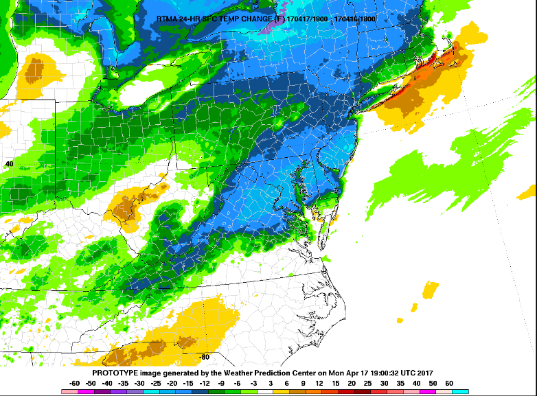
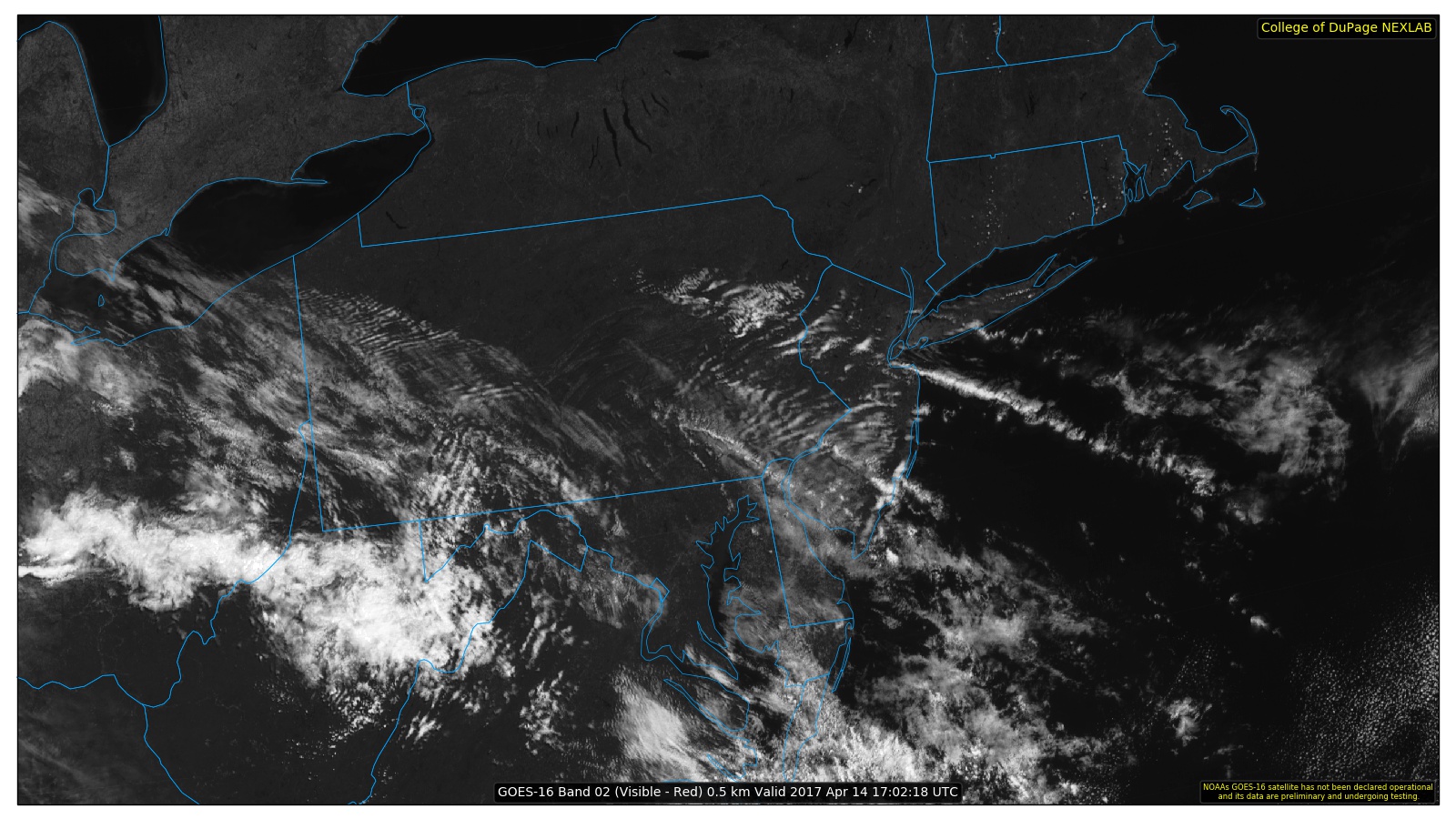
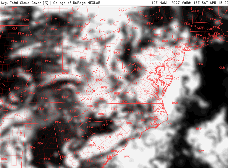
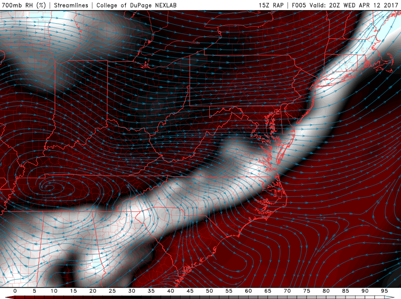
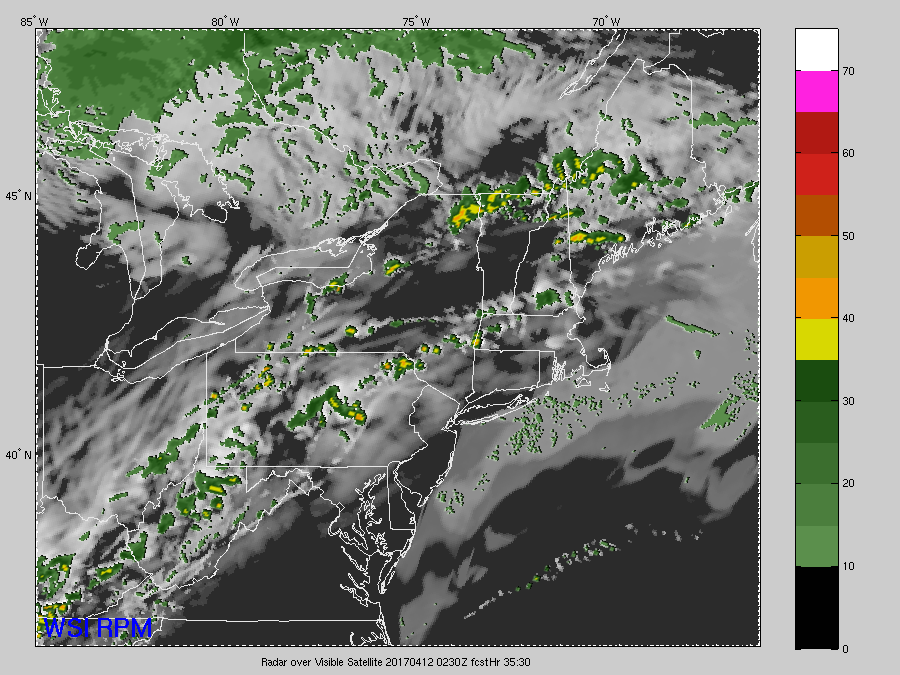
Latest surface temperatures, regional radar imagery, and visible satellite imagery showing improving conditions across much of the area this afternoon (Courtesy of GREarth)
Tuesday Into Wednesday
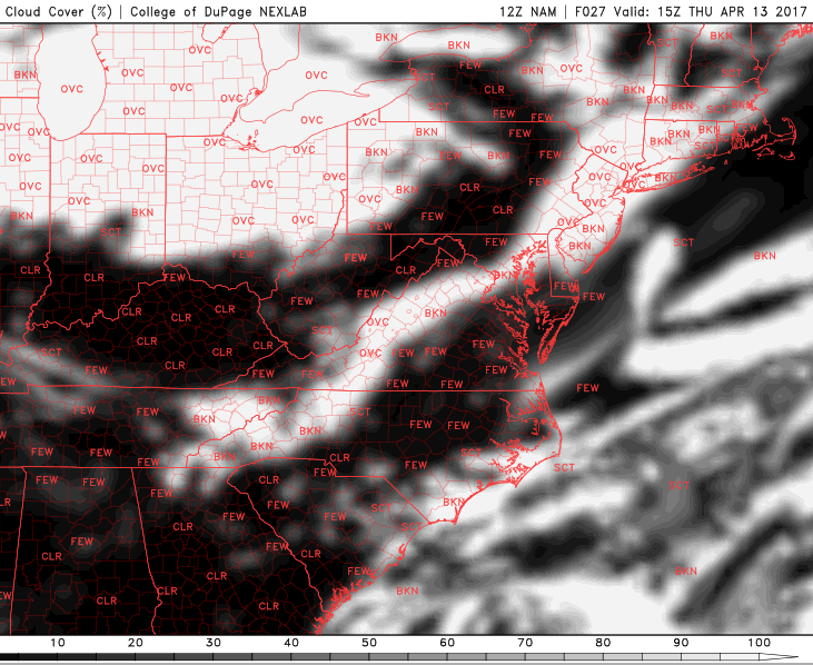
As we move into tomorrow, generally cooler weather is expected once again as offshore flow brings in a cool maritime air mass from the Atlantic. Winds out of the northwest will also usher in drier conditions as well, so expect mainly clear skies during the day tomorrow with rather pleasant conditions. High pressure located to the northeast will also help to keep things relatively calm and seasonable for this time of year as highs stay in the mid to upper 50’s across much of the area, with a few locations seeing temperatures creep into the lower 60’s tomorrow afternoon. Tomorrow should feel quite pleasant with frequent sun and light winds, but tomorrow should be right around normal for this time of year.
Tuesday evening should see a gradual increase in clouds as moisture from the offshore winds bring in some low level moisture. Depending on how much cloudiness winds up manifesting tomorrow night will ultimately determine just how cool the low temperatures can get, but right now it seems that most of, if not all of the area will be seeing lows tomorrow evening in the 40’s. There is a small chance that inland locations that are further away from the coast, and therefore have less chance of marine influence, could possible see lows dip in the upper 30’s, but this will have to be monitored.
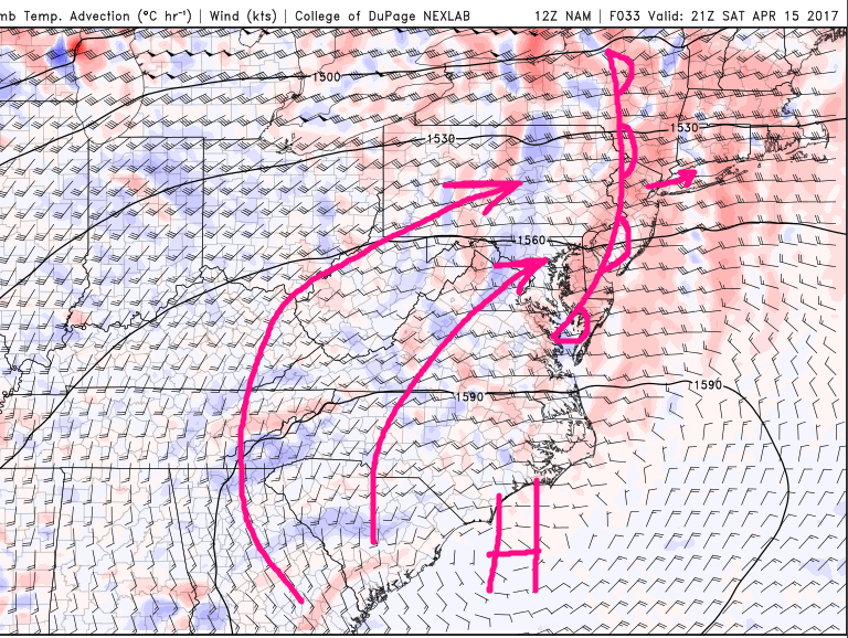
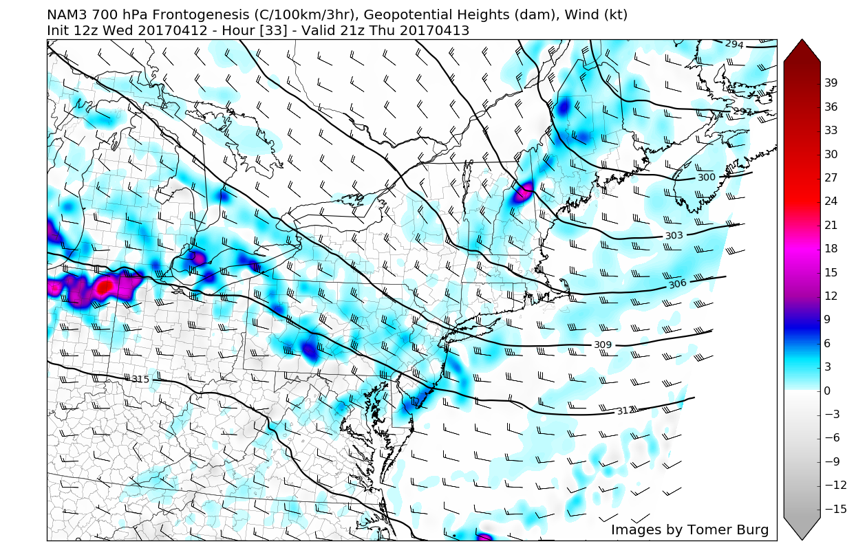
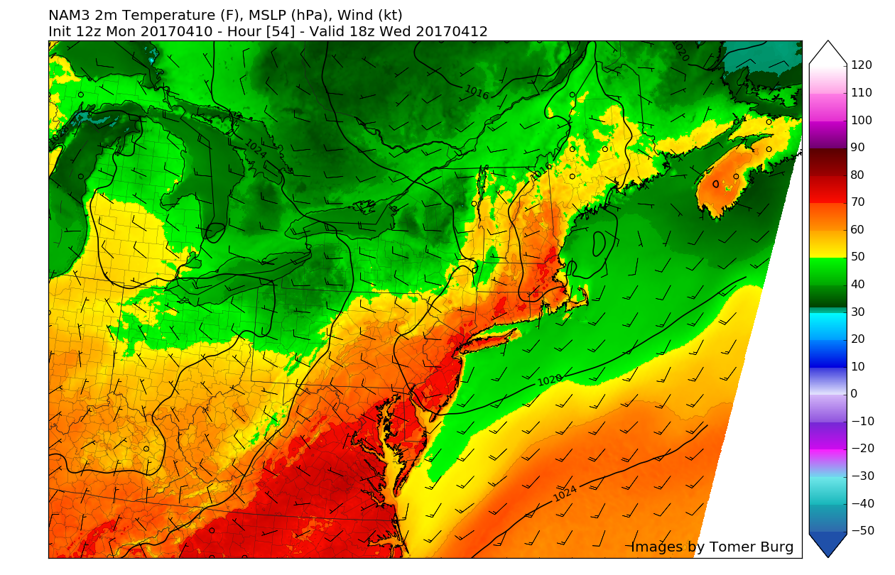
As we talked about last week, we are headed into what looks to be a more active pattern later this week that is quite reminiscent of late March as multiple storm systems and potential backdoor cold fronts have the possibility to impact our area. As of right now, Wednesday looks to be a rather seasonable day with broken clouds likely throughout the day just ahead of a gathering storm system in the central part of the county. This storm system will continue to head east towards the area throughout the day, and at least bring some enhanced cloudiness towards the evening hours.

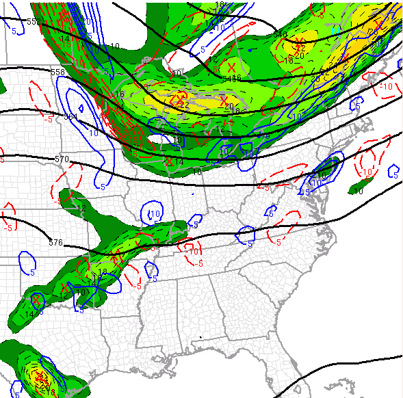
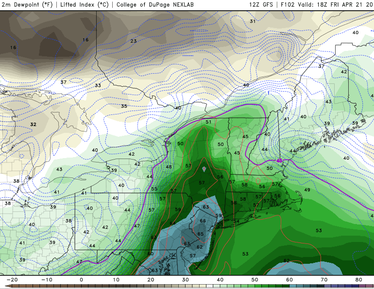
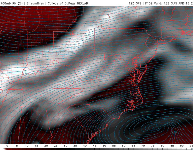
12z GFS 13km model showing a gathering storm system on Wednesday over the central US on Wednesday evening (Image courtesy of GREarth)
Thursday and Beyond
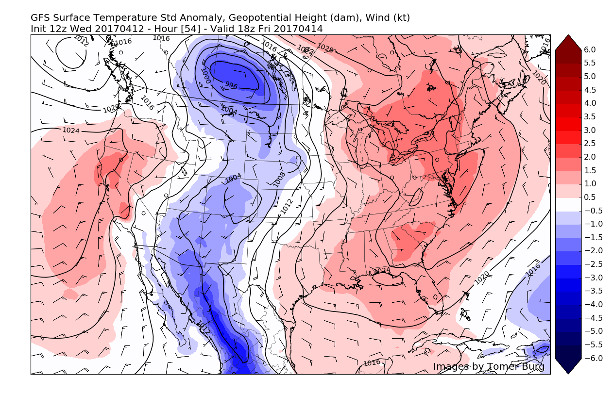
Thursday should be a rather unsettled day as a frontal boundary ahead of the main area of low pressure in the Ohio Valley begins to sink to the south of the region. This should provide a chance at some showers and possibly a thunderstorm or two before the main low pressure approaches on Thursday evening. As of right now, there seems to be two main options for the late week storm, with the first option looking somewhat more likely as of this afternoon’s model guidance.
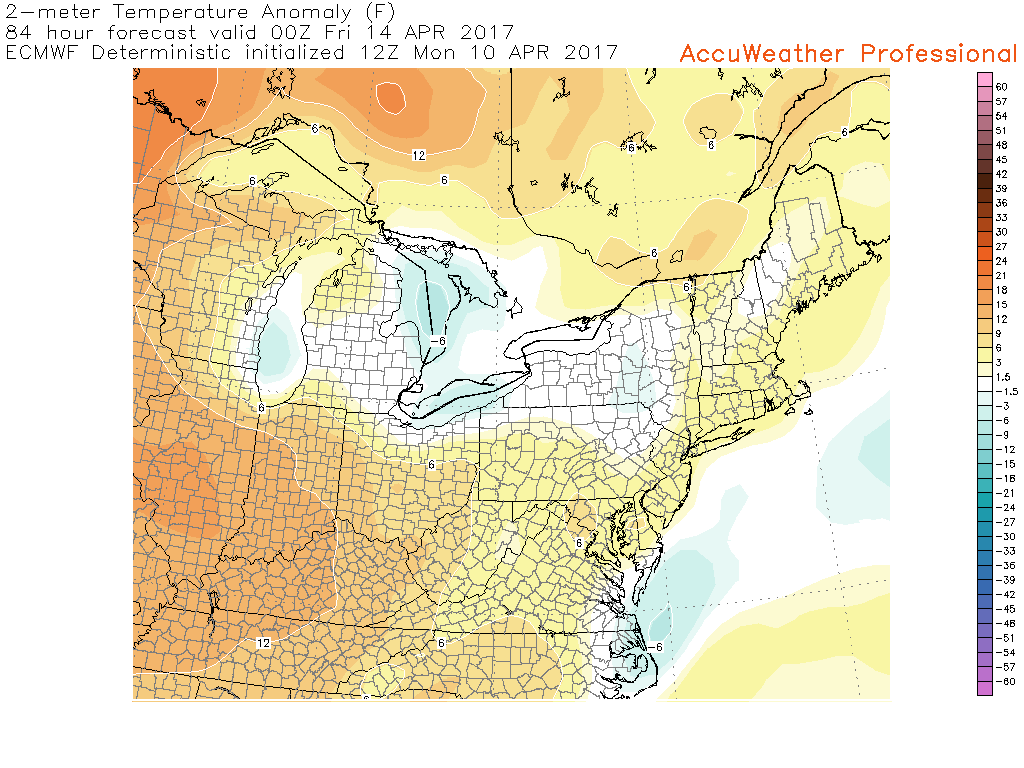
This option would mean that the main area of low pressure in the Ohio Valley would be able to lift the frontal boundary that was previously to our south, back up to our north. This would bring more warm/moist air into the area Thursday evening and into Friday afternoon. In this scenario, the low pressure would then track along the frontal boundary to our north during the day on Friday, and this would in turn bring the potential for heavier rain, with some thunderstorms also possible if enough instability is able to work its way in.
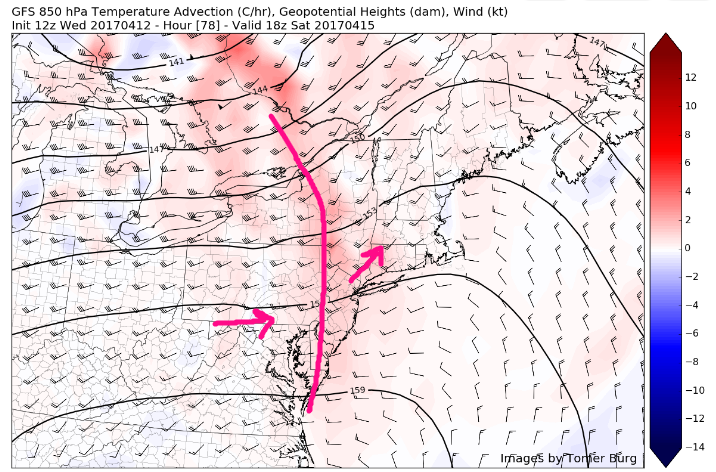
The other scenario would be that the low pressure system and frontal boundary remains to the south of the region late Thursday and into Friday, thus a cooler and steadier rain would be more likely. While both scenarios have the potential for heavy rain, the first option would be more intense, but also more localized. The second option would obviously be much more widespread and could even have a wind threat associated with it if the system remains far enough to the south.

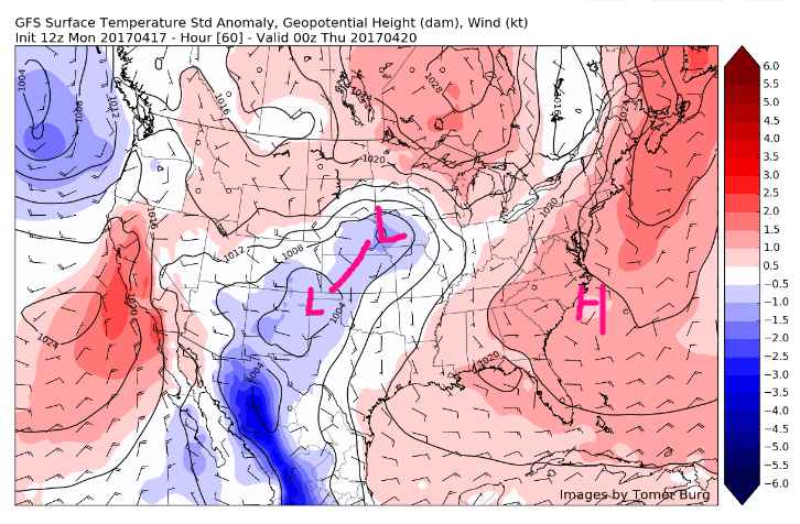
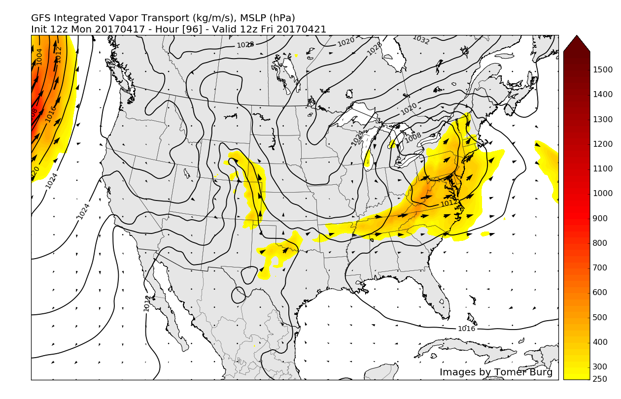
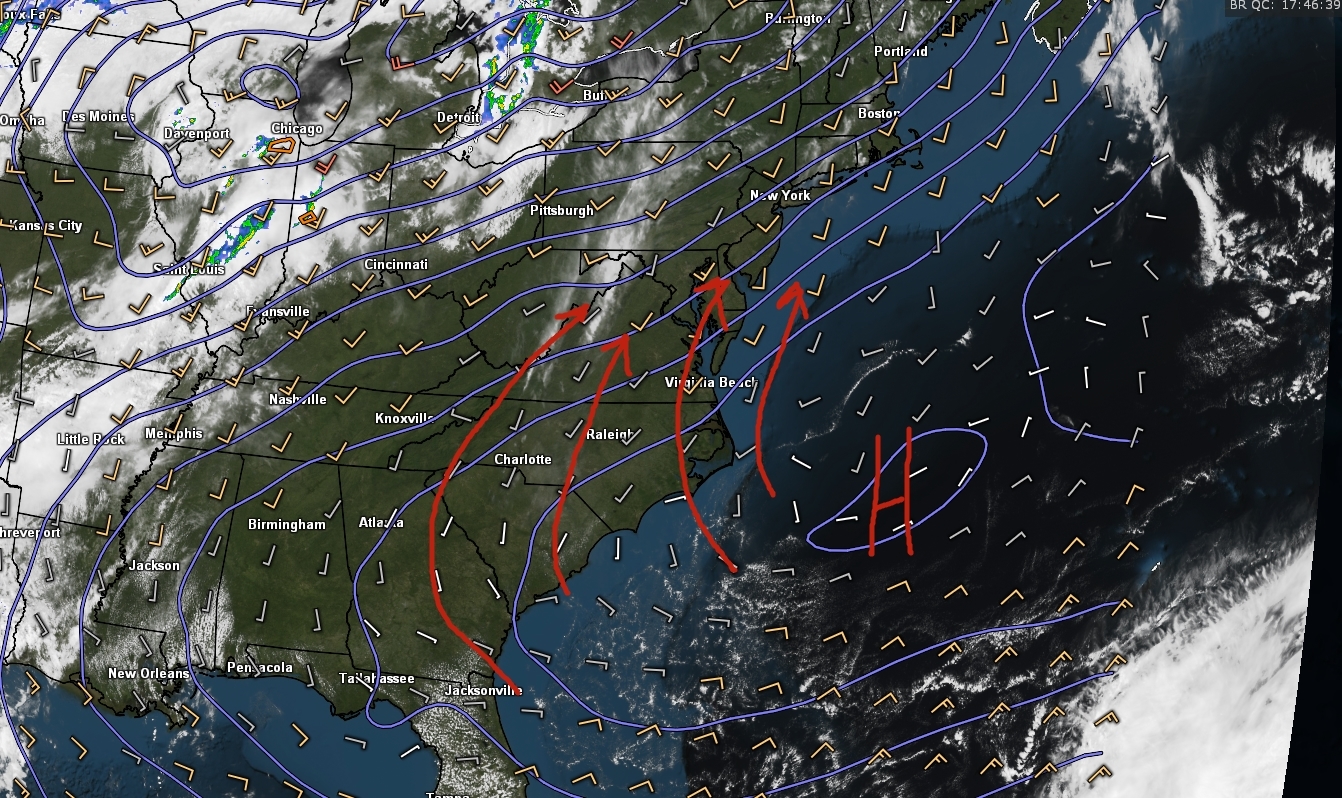
12z European model showing the main area of low pressure tracking well to our north on Friday morning, bringing in a more moist/unstable airmass with the potential for heavy showers and even thunderstorms (Valid 2am Friday)
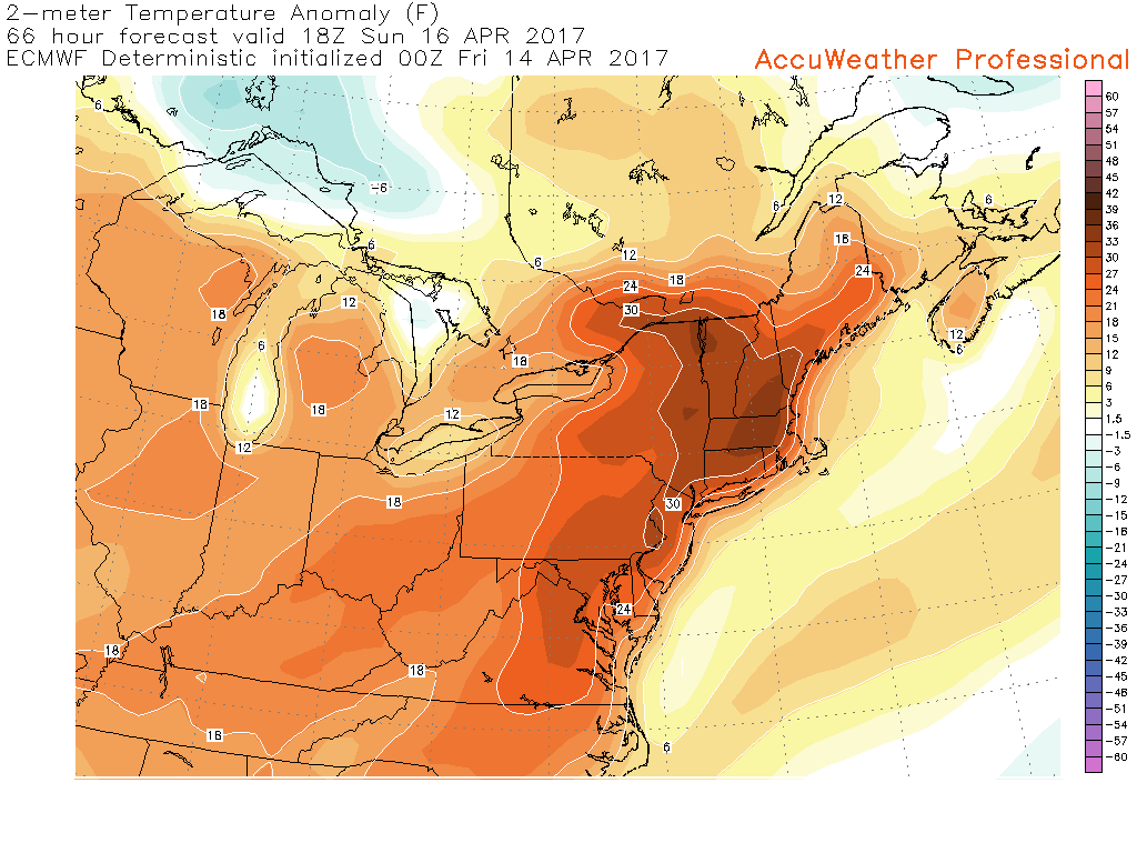
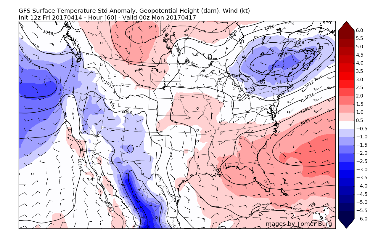
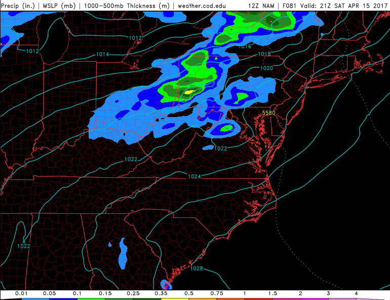
As we head into the weekend, there is a chance things may briefly calm down, but overall temperatures are likely to remain slightly above or near normal through the weekend. Afterwards, there is a chance that a more substantial rain event could take place. This afternoons guidance has been hinting at the potential for a coastal system to impact the region, but this is of course in the long range and there is a great amount of uncertainty right now.
Regardless, it seems that things are going to become active once again with multiple rain chances over the next 7-10 days, so make sure to stay tuned for future updates on the upcoming pattern!
For more information and posts like this one, make sure you sign up for Zone Forecasts — where multiple detailed articles, videos, and interactives are posted each day. Also, come interact with our staff and many other weather enthusiasts at 33andrain.com!
Have a great afternoon!
Steve Copertino


