Posts

AM All Zones Update on Potential Snowstorm Late Wednesday Night into Thursday

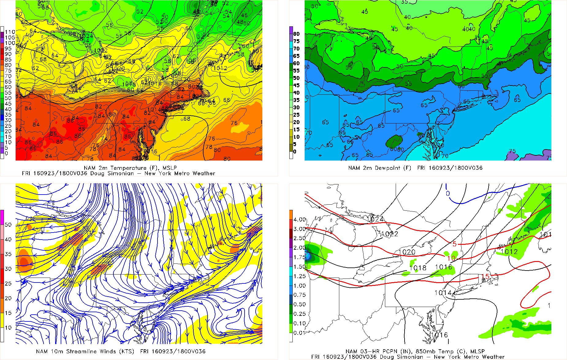
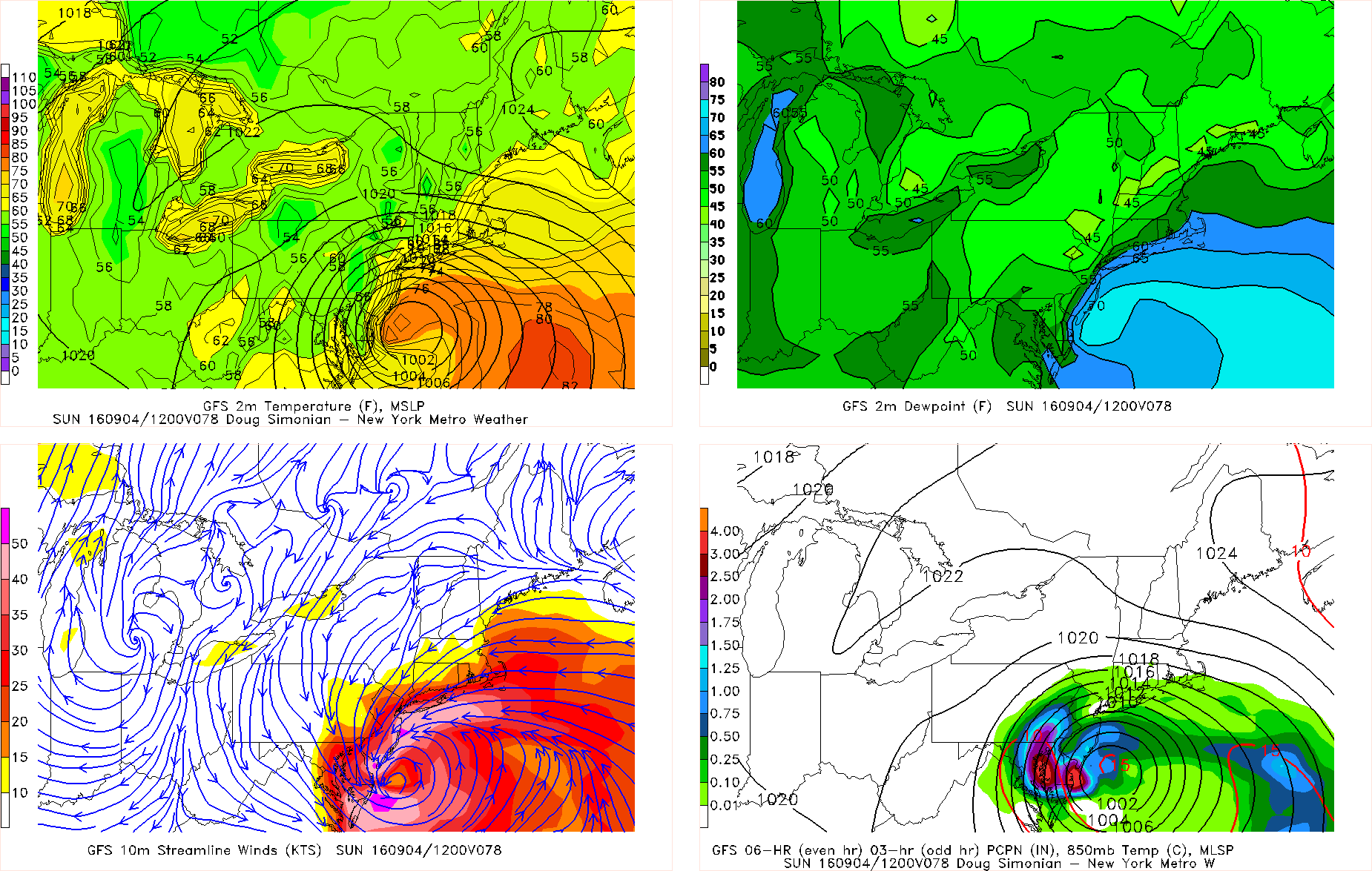
A storm system tracking over the Great Lakes, will bring some periods of rain with possibly freezing rain over Interior this morning. Some very mild and record breaking temperatures also possible on Wednesday. But more attention is already on possible snowstorm starting late Wednesday night and last into Thursday. Details are still yet to be ironed. But confidence is growing on moderate to significant snowfall for parts of the area.

Read more

Thursday Overview: Warmth until Friday, then cooler this weekend

After a very wet start, the weather has improved this week. It been several degrees warmer than normal and that should continue today with temperatures in the lower to middle 80s, for much of the area. Closer to the shore, sea-breezes will keep temperatures a little cooler this afternoon, perhaps in the 70s. Mostly clear skies and light winds will lead to more radiational cooling tonight. There will likely be a large range in low temperatures from the lower 60s over NYC metro to some upper 40s for the interior valleys and Pine barrens.

Friday will be warmer in the middle to upper 80s with more west-downslope winds, for most of the region. Some scattered showers and thunderstorms are possible ahead of a strong cold front coming through Friday night. Instability and moisture will limited, no organized severe weather or widespread heavy rainfall is currently anticipated. But behind this front, will be a much cooler, drier airmass with more seasonable temperatures and fair weather. Here are some highlights for this upcoming weekend:

Read more

Thursday Overview: Cooler and drier air arrives

After a cold front passed through with some showers and thunderstorms on Wednesday evening, another cooler and drier airmass has settled into the area. Temperatures are in the 50s and lower  60s over the region early this morning. High pressure will provide beautiful weather, with mostly sunny skies today. Temperatures will only reach the lower or middle 70s this afternoon over the region. Which is big refreshing, difference from yesterday 90 degree heat. These temperatures are also slightly below normal for mid-September.

Mostly clear skies and calm winds, will lead to more radiational cooling tonight. Temperatures may get down to 50s and some 40s over much of the region. Closer to New York City, low temperatures may be closer to 60. You may want to wear a light jacket or sweater headed to work or school tomorrow morning. Friday and Friday night will be similar to today and tonight, with high pressure remaining in control. Some other highlights over next several days.

Read more

Thursday Overview: Watching Hermine for Labor Day Weekend

A wave of tropical moisture surging ahead of a cold front approaching the region, has led to periods of rain this morning. This is now beginning to taper off from west to east across the region. Clouds could break for some sunshine this afternoon. But there is still a chance of some isolated showers and thunderstorm popping up until the cold front moves through region late this afternoon. Temperatures will likely reach the upper 70s to lower 80s with enough sunshine this afternoon. Then tonight, skies will clear with high pressure building over the region. Friday will be mostly sunny with temperatures rising into upper 70s to lower 80s. Dry conditions will likely continue into Friday night. Then attention turns to Tropical Storm Hermine which is currently strengthening in the Gulf of Mexico and is forecast to make landfall as a minimal hurricane over the Florida panhandle late tonight.

Much of the latest model guidance overnight has shifted further south and east with what remains of Hermine, reducing some impacts from heavy rain and high winds in parts of the area. However, models have not been too consistent with the track of this storm near our region, over the last few days. One of these models (the GFS) has also shifted west again during its early morning run, with heavy rainfall and strong winds for the New Jersey coast. The mid-morning and early-afternoon model runs have also shifted back northwest, bringing significant impacts back to the region. If Hermine tracks closer to region, the mostly likely time frame for significant impacts, appears to be on Saturday night and Sunday. .

Read more