PM Update: Gorgeous weather to welcome the new week

Behind a cold front which brought widespread severe weather to the Northeast US on Saturday, a fresh new airmass has settled in, and it is expected to stick around for a while and provide gorgeous precipitation-free weather through the new

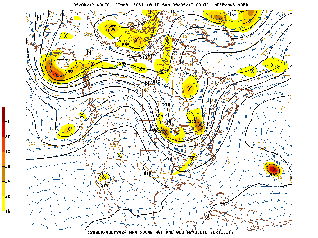
NAM Model showing low temperatures in the 40’s and 50’s throughout the area on Tuesday morning. Click for high resolution.

work week. High temperatures in the upper 70’s will kick things off on Monday and Tuesday, and crisp air with low humidity will make it feel even nicer. Overnight lows will actually be, dare we say it, “cool” with temperatures dropping into the mid 40’s in some rural areas away from the shore and the city. Mornings will feel much more like autumn at the start of the week as temperatures will be climbing out of the 40’s and 50’s to start, and eventually ending up in the aforementioned upper 70’s.

A bit of moderation in temperature is likely by the middle and end of the week, still, as mid level heights begin to rise and a ridge builds into the area. The increase in warmth will bring high temperatures into the 80’s. But as far as atmospheric disturbances go, things will remain mostly quiet. Thus, very little precipitation is expected through the end of the week. Its not often, especially in this area, to see a stretch of such gorgeous weather. So we hope you all are able to enjoy it.

Monday: A perfect day. High near 75 in the city, possibly a little cooler inland. North winds will be a little breezy at times, around 10 to 15 miles per hour. Low humidity, very comfortable.

Monday Night: Cool, clear. Lows in the 50’s in the city, possibly 40’s in some spots inland. North winds remaining a bit breezy around 10 miles per hour.

Tuesday: Another gem. Highs a degree or two warmer, but still near 76-77 degrees in many locations. Light north winds.

Wednesday: Trending warmer, with highs nearer to 80. Plenty of sun, and a light wind.

Tornado Watch for NYC until 9:00pm

The Storm Prediction Center has issued a Tornado Watch for the NYC area that is in effect until 9:00pm tonight. Already this morning, several tornado warnings have been issued across Brooklyn and Queens. Strong rotation in thunderstorms

Storm Prediction Center Tornado Watch #635 in effect for NYC, NJ, and CT until 9pm.

was detected beginning around 10:30am. The NYFD has reported a possible tornado near Breezy Point, Rockaway, and Flatbush. The threat for strong to severe thunderstorms, capable of producing strong damaging winds and isolated tornadoes will continue through late this evening. Please keep abreast of the situation and stay alert for the issuance of any further watches or warnings. If a severe thunderstorm or tornado warning is issued for your location, take cover immediately. These are dangerous storms that are capable of producing significant damage.

Potential for Widespread Severe Storms Today

There is strong potential for widespread severe weather today, primarily from a squall line, with damaging winds, a few embedded tornadoes, and some discrete supercells out ahead of the squall line that may also produce a few tornadoes. The SPC continues its moderate risk for severe weather, with 45% hatched for winds, 10% for tornadoes, and 15% for hail.

Not much has changed since the event overview post from yesterday morning. However, one thing to note is that at 500mb, the shortwave energy and area of vorticity appears to escape to the northeast a bit quicker than previous runs. Instead of the strongest area of vorticity being in Pennsylvania at 00z, Sunday, it is now located in NW Upstate NY. This will result in some of the best shear escaping to the northeast a bit faster, and not extending as far to the south into New Jersey.

00z NAM 500mb Forecast, Valid 00z Sunday, September 9th, or 8pm EDT Saturday, September 8th

That being said, it is still a very impressive synoptic setup with lots of large-scale ascent from a potent trough swinging to the east, creating height falls and very fast mid and upper level winds with strong 250mb divergence. Most of the northeast will be in the right entrance region of the jet, also promoting large-scale ascent. Additionally, the large trough and storm system will help to promote strong southerly flow at the surface, helping to advect rich low-level moisture, with dewpoints in the low 70s. Some areas will see a SE flow, but considering how warm the ocean is in the early fall, the ocean provides a good moisture source without providing much in the way of stabilization.


Read more

Storm Prediction Center issues Day 2 Moderate Risk for Northeast

In anticipation of a potential widespread severe weather event throughout the Northeast United States, the Storm Prediction Center has issued a rare “Moderate Risk” for severe thunderstorms that includes all of the New York City area as well as

Storm Prediction Center Day 2 Categorical Outlook (Valid for Saturday) showing a “Moderate Risk” over the Northeast US.

New Jersey, Southeast New York and Connecticut. The outlook mentions the potential for “widespread damaging winds” as well as the potential for “a few tornadoes” in the Moderate Risk area, specifically over Northern New Jersey into Southeast and Eastern New York. Ahead of a cold front, an unstable airmass is expected to work in tandem with strong wind shear in the atmosphere to produce a line of strong and severe thunderstorms Saturday afternoon over parts of Pennsylvania and New York that will eventually shift east through New Jersey, New York City and the coastal Northeast. For more on the threat, you can check out our event overview post from this morning , but be sure to also follow us on Twitter and Facebook for the latest real-time updates as we draw closer to Saturday.