Severe weather potential could highlight Saturday

Although the northeast has not seen too much in the way of severe weather in the past couple of weeks, that may change come Saturday, as the potential exists for a severe squall line with damaging winds, and perhaps even a few embedded tornadoes.


00z GFS 500mb Forecast, Valid for 00z Sunday, September 9th, or 8pm EDT Saturday, September 8th.

We have an extremely potent longwave trough, which will advect unseasonably strong mid and upper level winds; something that we have not seen in quite a while. In most of the setups we have seen this summer, the 500mb winds were quite slow, mostly 30 knots or below, which was often a hindrance for widespread organized convection. But now that we have reached September, the jet stream starts to become a bit stronger, and troughs begin to amplify more and dig to the south.

More specifically at 500mb, we also have quite a potent area of vorticity in Pennsylvania, which combined with the longwave trough, will provide a good lifting mechanism for large-scale ascent. Additionally, the 500mb winds are in excess of 50 knots, which is quite sufficient for organized convection. Click “Read More” below to read the full length post.

Read more

Forecast: Chance of storms lingers through the weekend

Although the potential for heavy rain in association with a warm front near the area is over (the front has since moved well north and east of the region), the weather pattern will remain generally unsettled over the next few days and into this weekend. Small perturbations in the mid levels of the

NAM Model showing forecast high temperatures in the middle to upper 80’s across parts of the area on Thursday afternoon. Click to enlarge.

atmosphere will serve as focal points for the development of showers and storms during the afternoon on both Thursday and Friday. However, not all is lost as warmer air will work back into the area which will surely come as a welcomed occurrence to those who are hoping to hold on to summer for a few more weeks. Forecast high temperatures return to the mid and upper 80’s in some spots on Thursday and Friday, with cooler temperatures near the shore and warmer temperatures inland. If you’re headed to the shore this weekend, expect a seabreeze to develop in the early afternoon with winds off the water and some cooler temperatures.

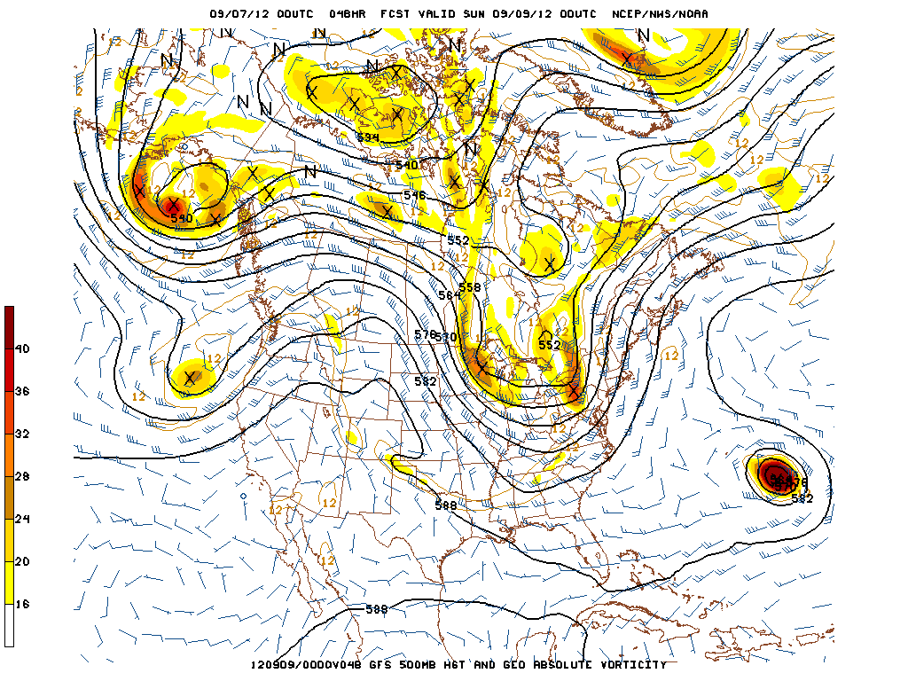
Looking ahead to the weekend, forecast models are hinting at a cold front approaching the area by Saturday evening with the potential for showers and thunderstorms (some could be strong depending on the timing of the front). This will likely be our next chance for more widespread precipitation throughout the area. Behind the front, a brief cooldown is expected before another return to near-normal temperatures by next week.

Thursday: More sun, but scattered showers and storms are still possible in the afternoon. More likely the farther west you go. High temperatures trending warmer, with the thermometer reaching into the mid and upper 80’s over parts of New Jersey and into the 80’s over much of Connecticut and Southeast New York.

Thursday Night: A pleasant night, with lows dropping into the upper 60’s and lower 70’s across most of the area. Some lingering clouds early in the evening should dissipate by mid-evening.

Friday: Warmer again, with highs in the 80’s. Another chance of showers and storms by afternoon. Cooler near the shore and on Long Island than inland, with temperatures in the upper 70’s along the coastal areas and in the mid 80’s away from the water.

Check out the Forecast Brief for a day-by-day briefing on the forecast and potential hazards, and the Forecast Graphic for a high resolution 5-day forecast. If you haven’t yet, follow us on Facebook and Twitter for live updates.

What caused the tornado warnings in New Jersey on Tuesday?

RAP 850mb Analysis for 00z Wednesday, September 5th or 8pm EDT Tuesday, September 4th 2012.

“Tornado Warning” has always been an ominous phrase. When you hear those words, things generally tend to get a little more serious. On Tuesday, there were more than three Tornado Warnings issued throughout the state of New Jersey, beginning in the afternoon and continuing into the evening hours. Although the area did not see much in the way of severe weather reports in a quantitative sense, there were several reports of low-level mesocyclones, funnel clouds, and even tornadoes in the general extreme Eastern PA and NJ areas. In hindsight, this was actually a pretty good setup for low-level mesocyclones and tornadoes, and I’ll explain why.

Synoptically, we had a surface low that slowly deepened to around 1006mb located in Western Upstate New York, along with a closed 850mb low located in the same area. This placed our area in a pressure trough, and also resulted in a warm front that moved to the north across our region. Warm fronts are generally a better lifting mechanism for rotating thunderstorms than cold fronts. This closed 850mb low helped to provide a nice low-level jet, as 850mb winds were around 30 knots in most locations.

Additionally, there was some helicity as well, which is an indicator of rotation in the low levels of the atmosphere. What is also interesting to note is the light SE surface winds, and the importance of that will be explained in a bit. Click “Read More” below to read the full article..

Read more

Periods of rain likely through mid-week

A warm front draped over the forecast area will serve as a focal point for the development of showers and embedded thunderstorms through Tuesday and continuing into Wednesday. With plenty of moisture in the atmosphere and an unsettled

NAM Model showing the potential for total accumulated rain amounts of over 1.5″ in some spots by Thursday morning.

weather pattern in place, showers are expected to develop along the front beginning early on Tuesday. Forecast models show the coverage of the showers and rain becoming more wingspread by later Tuesday, with most of the area experiencing a period of steady rain Tuesday afternoon. A weak area of low pressure developing along the warm front, in association with the remnants of Hurricane Isaac, won’t help the situation much…as the forcing from that weak low pressure should touch off the development of more showers. The most steady rain is expected Tuesday afternoon and evening, with the showers then becoming more spotty once again early Wednesday.

By later Wednesday, forecast models show a weak cold frontal zone or wind shift near the area with the potential for more showers and storms in the afternoon. Later this week, the showers are expected to become less numerous but will remain a chance in the forecast each day. You can check out the day-by-day details of the forecast in our Forecast Briefing, which is updated every morning.