Forecast: Cooler air, more sun through Friday

NAM Model showing a sharp gradient in temperatures at the 850mb level across the Northeast on Tuesday evening. Notice the much colder air moving towards the region from the west.

NAM Model showing a sharp gradient in temperatures at the 850mb level across the Northeast on Tuesday evening. Notice the much colder air moving towards the region from the west.

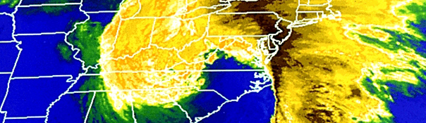
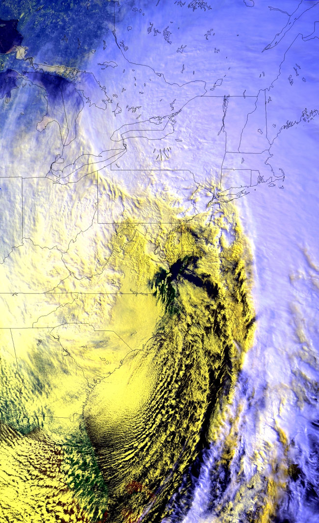
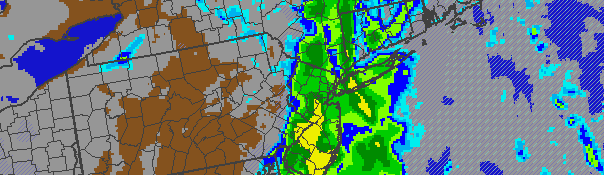
A cold front, which crossed the area Tuesday Night, will begin to usher in a much cooler and drier airmass by Wednesday morning. The warm air which was present in the area essentially from Sunday through Tuesday has been kicked off to the east, and west-northwesterly winds are bringing in much cooler air both aloft and at the surface. Although high temperatures will still reach the upper 40’s on Wednesday with full sunshine, another shot of cold air is expected by late afternoon with a chance of scattered showers. Things will feel much cooler especially by Wednesday Night — and if you’re looking for warmth we have bad news, it looks like the cold pattern is here to stay through the end of March.

The weather is expected to remain relatively fair through Friday with Thursday being the coldest day of the remaining three this week (highs only near 40 and blustery northwest winds). A storm system (another front with a shot of cold air) approaches by this weekend. Although precipitation is expected to be mainly rain with this system (Saturday), the airmass which is brings in by the weekend will be plenty cold for frozen precipitation as we move forward into next week. Although there are no specific events on our long range radar, the potential is certainly higher than usual for a late-March snow event. We’re keeping a close eye on it. Until then, here’s your forecast to close out the week.

Wednesday: Mostly sunny with a chance of showers after noon. High near 50. West winds around 10 miles per hour.

Wednesday Night: Partly cloudy with a slight chance of showers. Breezy, cooler, with a low around 30. West Winds 10 to 20 miles per hour.

Thursday: Sunny and cool with a high near 40. Northwest winds 15 to 20 miles per hour.

Friday: Mostly sunny with a high in the mid 40’s. West winds around 10 miles per hour.

20 years later, Storm of the Century remains memorable

Satellite image of the 1993 "Storm of the Century" powering up the East Coast of the United States on March 13, 1993 with a classic "comma head" shape. Courtesy NOAA.

Satellite image of the 1993 “Storm of the Century” powering up the East Coast of the United States on March 13, 1993 with a classic “comma head” shape. Courtesy NOAA.

March 13th marks the 20 year anniversary of one of the most memorable meteorological events ever, the “Storm of the Century”, which moved up the East Coast on March 12-13, 1993. . Twenty years ago today, the “Superstorm of 1993” formed in the Gulf of Mexico (as a very impressive low pressure system) and barreled up the East Coast, eventually leaving historic amounts of snow from the Southeast States through Maine. The system resulted in $9 billion (modern day) in damages and more than 300 deaths. More wildly known as the “Storm of the Century” or “1993 Superstorm”, it remains the highest impact winter weather event to ever affect the Eastern Coast of the United States.

Hi-Res Satellite image of the superstorm as it passed near the NYC Area.

Hi-Res Satellite image of the superstorm as it passed near the NYC Area.

In the immediate New York City Area, the storm featured a wild variety of hazardous weather which likely will not be matched for many years. Heavy snow began around 2am and continued until around 2pm in the NYC Metro Area (longer in the interior). The “Storm of the Century” was the first system to trigger Blizzard Warnings in the New York City Area since 1978.  Near the coast and even in the immediate suburbs, 60 to 75 mph gusts were more than isolated with sustained winds over 30 to 40 miles per hour. By late afternoon, many coastal areas including Long Island saw temperatures reach into the lower 40’s as warm air surged northward. As the storm passed overhead, White Plains, NY measured a record low pressure of 28.38 inches, equivalent to a Category 3 Hurricane. Such pressures are remarkable for our forecast area — but were not surprising given the immense strength of the storm system even as it formed in the Gulf of Mexico. Through the afternoon and evening, heavy rain and strong winds continued to pound the coast while wintry precipitation continued to pound inland areas.

Snow (better defined as “slop” by the time the storm was over) reached the coast as well, with sleet and extremely heavy rain before the system ended. In the suburbs, widespread significant amounts of snow and sleet caused extreme travel difficulties and widespread impacts. As the system raced past the area, cold air began pushing into the area once again by evening. A noted “flash freeze” quickly froze over the slush, slop, and snow into piles of ice, snow and sleet across most of the area.


Read more

Clouds, showers expected through Tuesday PM

NAM model showing heavy rain impacting the area Tuesday afternoon and evening along a cold front. Clearing is expected behind the front by Wednesday.

NAM model showing heavy rain impacting the area Tuesday afternoon and evening along a cold front. Clearing is expected behind the front by Wednesday.

Ahead of an approaching cold front, clouds and showers are expected to become more numerous throughout the area beginning late this Monday evening. Despite warm temperatures aloft (thanks to a mid and upper level ridge), southeast winds at the surface will keep the air cooler and damp through most of the area ahead of the approaching front. Low clouds and drizzle are a possibility throughout most of Tuesday. However, there is an isolated chance of some peaks of sun by Tuesday afternoon as winds turn more southerly. This usually occurs directly ahead of the front, so it will be short lived. A period of steady rain is likely Tuesday afternoon and evening as the front crosses the area from west to east, beginning in Western New Jersey and eventually making its way through NYC and Long Island.

Behind the front, winds will quickly shift from southeast to northwest with temperatures dropping accordingly. The new colder airmass will settle into the area by Wednesday with highs in the upper 40’s, but cold northwest winds keeping it chilly. The blustery west-northwest winds are expected to stick around through the end of the week — so enjoy the warm air while it’s still here!

Tonight: Mostly cloudy with a slight chance of drizzle. Lows in the lower to mid 40’s throughout most of the area, a bit warmer near the coast. Southeast winds 10 to 15 miles per hour.

Tuesday: Mostly cloudy with rain likely. The rain may be heavy at times. Highs in the mid to upper 50’s. Southeast winds turning southerly around 20 miles per hour.

Tuesday Night: Mostly cloudy with rain likely early, then clearing. Lows in the upper 30’s to lower 40’s.  Southerly winds turning west-northwest around 20 miles per hour.

Wednesday: Mostly sunny with a slight chance of showers. Cooler, with a high in the upper 40’s. Blustery northwest winds around 20 miles per hour.

FORECAST: LOW CLOUDS KICK OFF AN UNSETTLED WEEK

Forecast Express: Mostly cloudy to start Monday with some peaks of sun late, high in the mid 50’s. Cool and damp Monday night, showers and a cold front on the way for Tuesday.

Details: Sunny and pleasant weather which closed out the weekend will be on the way out by Monday morning, as southeasterly winds off the cool ocean waters bring in low clouds. The low clouds are expected to stick around through Monday afternoon, before burning off a bit across the interior. Some drizzle is possible, especially near the coast. Overall, a cooler and more damp feeling will be in the air throughout the day. Despite the warm air moving into the area aloft (way above our heads), temperatures are expected to top out only in the upper 40’s to low/mid 50’s throughout the area. We see this often in the Spring and sometimes even early summer, with the onshore flow keeping things damp, cool, and cloudy in many parts of the area.

By Tuesday, winds are expected to turn more southerly. But plenty of clouds will still be around, ahead of a cold front which will approach by mid week. Temperatures are eventually expected to warm up just ahead of the front — but that will also be short lived. A period of moderate to heavy rain is expected as the front passes, with clearing by mid-late week and colder temperatures eventually following the front.

If you’re feeling ambitious and looking ahead to the medium and long range, a cold pattern looks to settle in with the potential for below-normal temperatures and snow (yes, we said it) through mid to late March. Stay tuned!