-2")
Weekend Forecast: Snow lingers, tapering to pleasant weather
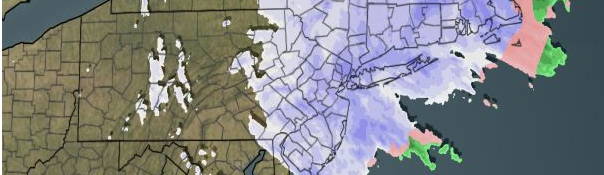
Moderate to heavy snow continued on Friday morning and afternoon throughout much of the area, courtesy of an inverted trough extending over the Northeast US.
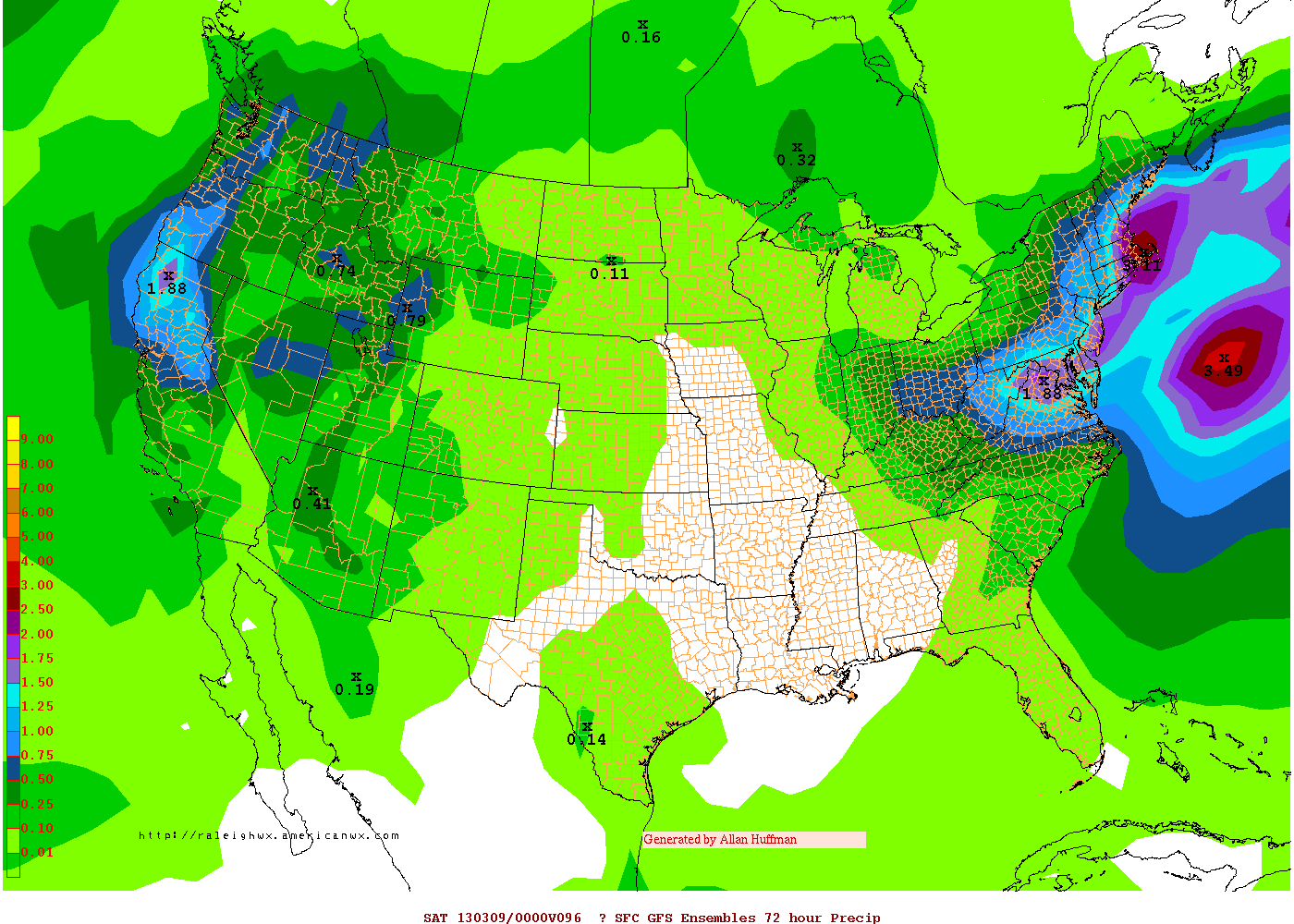
Moderate to heavy snow continued throughout much of the forecast area this morning, with heavy bands moving from northeast to southwest in an unusual turn of events as a storm system hundreds of miles of snow produced snow in our area via an inverted trough. The bands of heavy snow produced snowfall totals much higher than anticipated throughout the area, and we are guilty as much as anyone else. Our snowfall forecast called for a maximum snowfall of 3 to 6 inches in the forecast area, in a band from Interior Central New Jersey through Northeast NJ, New York City, and Connecticut. In the end, the coastal storm passed to our southeast bringing little precipitation to New York City. But the inverted trough developed on Thursday Night and it became clear that the system would almost “back” into the area from the northeast. The snow continued overnight and into Friday morning, and remains persistent throughout the area at noon. Forecast models are insistent that over the next few hours, however, the forcing required to produce the moderate to heavy snow will wane, and the bands will weaken and diminish.
As the storm system pulls away, the pressure gradient is expected to produce a stiff breeze to lead us into the weekend. The good news, however, is that the sun will make a much needed appearance by Saturday morning. Warmer temperatures
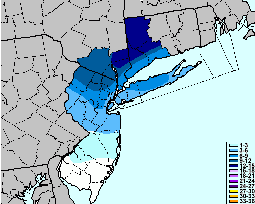
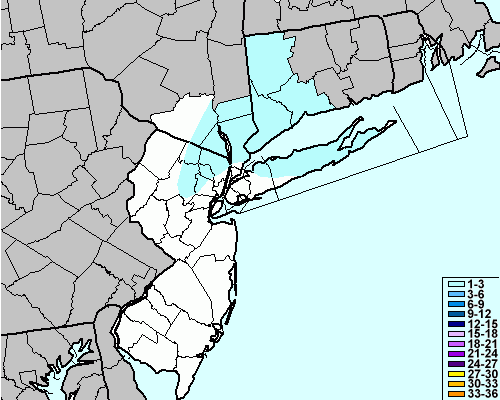
Estimated snowfall totals through 12pm on Friday throughout the area. Stay tuned for official totals and a reanalysis map.
are expected as well, so if you’re a snow lover…enjoy the snow while you can! The wintry scene won’t last long. The warming trend will continue into Sunday with temperatures rising into the 50’s. Some clouds are expected Sunday Night and Monday, but temperatures will continue to warm with highs into the mid 50’s by Monday afternoon. The next system on our radar for the middle of next week will be a rain provider — but stay tuned for details on timing.
Rest of Today (Friday): Snow likely before 2pm, with an additional inch or so of accumulation possible. Then becoming partly cloudy, with a chance of flurries. High near 40. North winds 20 to 30 miles per hour.
Tonight: Clearing and windy. Low near 32. North winds 15 to 20 miles per hour, gusting to 30 miles per hour.
Saturday: Mostly sunny and warmer with a high near 50. North winds around 10 miles per hour.
Sunday: Mostly sunny with a high near 52. Variable wind becoming southerly around 10 miles per hour.
Monday: Increasing clouds with a high near 56. South winds around 10 miles per hour.