-2")
Labor Day weekend begins with sun
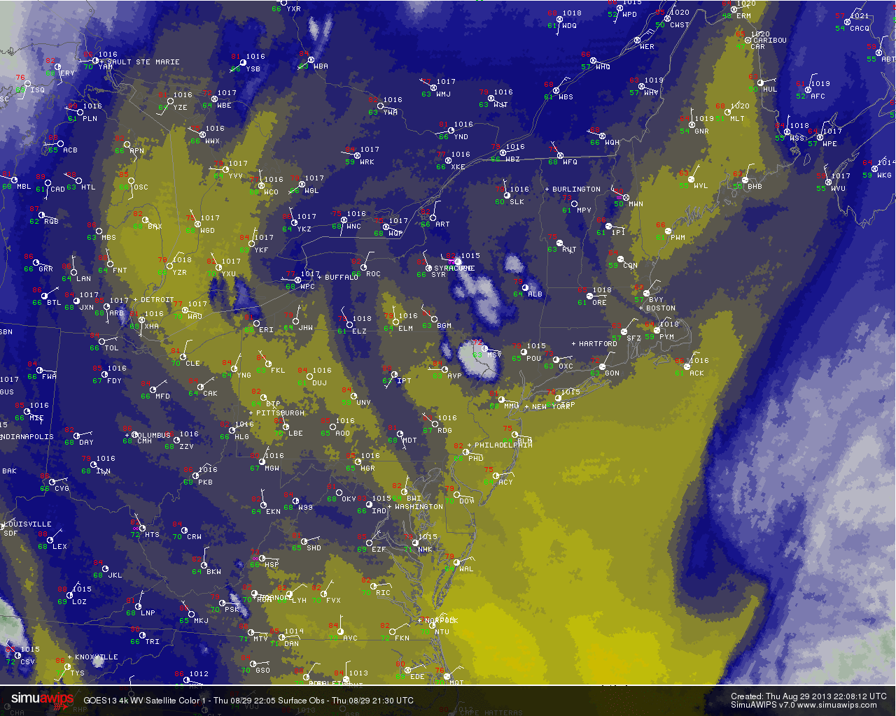
Low clouds and fog burned off and broke up this morning, and the sun made an appearance shortly after noon in New York City. A weak disturbance sliding east/southeast off the coasts of New Jersey and Long Island was the culprit for the morning clouds, but the backdoor cold front which hampered Thursdays weather has weakened and washed out this afternoon. Winds will flip from east-northeast to west-southwest, helping to keep temperatures a bit on the warmer side today especially in areas that get more sun. Highs in the mid 80’s look to be a common theme. Pleasant weather is expected through tonight, with lows in the 60’s to lower 70’s.
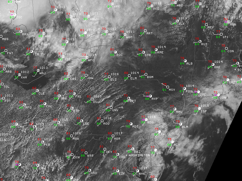
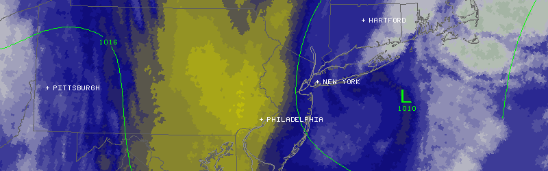
Visible satellite imagery and regional observations from the afternoon of August 30th, 2013.
The Labor Day Weekend forecast is not as straight forward, however, as multiple perturbations in the mid level flow will cause unsettled weather in the area beginning on Saturday. High temperatures will reach into the mid to upper 80’s on both Saturday and Sunday, but thunderstorms look to become more likely as the weekend draws on. The storms should be relegated to the western suburbs on Saturday, but may become more widespread on Sunday. We aren’t looking at a threat for widespread heavy rain, but any storm could certainly put a hamper on outdoor activities.
A frontal system comes through on Monday with a low pressure passing north of the area — with showers and storms likely from Sunday night into Monday. As it stands now, Saturday looks like the winner of the weekend..with warm temperatures and good beach weather, despite the chance of scattered storms. Stay tuned for more details and have a wonderful Friday!