-2")
Pleasant weather, wet weekend, foliage update
The weather over the past several days has been astonishingly pleasant – with highs in the low to mid 70’s, abundant sunshine and low humidity. A Canadian high pressure, which settled into the area earlier this week, has modified a bit — but continues to provide benign weather and comfortable air. The low humidity and near-average highs for this time of the year are comfortable by nature. The deep blue skies will continue for another day on Thursday, with highs expected to reach into the middle to upper 70’s. A few clouds could sneak in on Friday, but the idea of calm weather and comfortable air will continue. Thursday Night will still be a bit brisk, with lows falling into the 50’s.
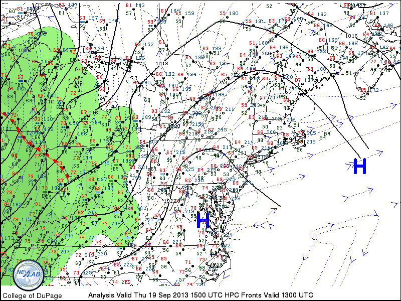
Surface analysis and observations from the morning of September 19th, 2013 in the Northeast US, showing a high pressure in control but beginning to weaken.