-2")
Moderate snowstorm likely on Monday
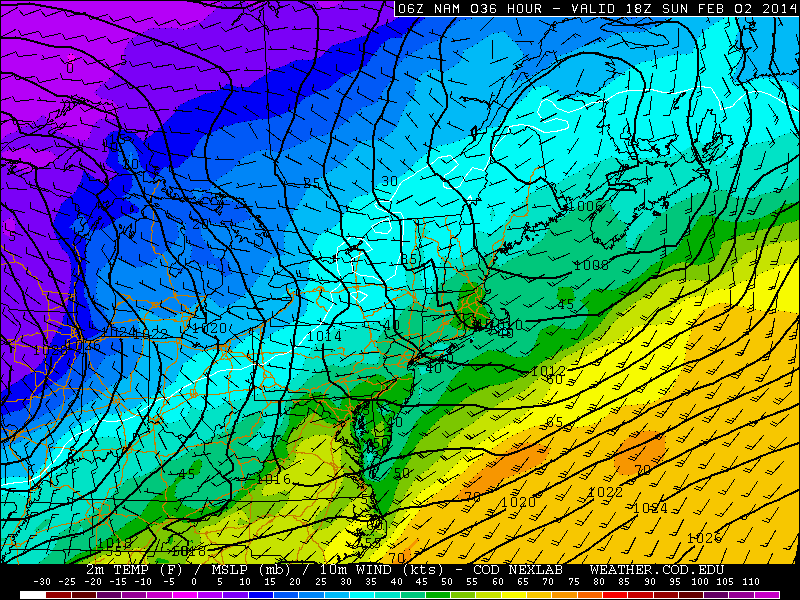
A low pressure system developing along a stalled frontal boundary is likely to bring precipitation to the entire area beginning early Monday morning, with cold air funneling in from the west/northwest behind the front and changing precipitation to snow throughout the area. Forecast models have trended much farther north and more expansive with the precipitation shield associated with this low pressure — and as a result, we are now expecting the potential for moderate snowfall accumulations throughout the area. There are several uncertainties still remaining with the forecast system, including timing and temperatures, but confidence continues to increase in the accumulation forecast today.
Snow is expected to begin in Northern NJ, NYC, SE NY and Connecticut during the early morning hours on Monday. Across parts of Central and Southern NJ, precipitation may begin as rain or may be mixed. As precipitation intensity increases, dynamic cooling will occur — changing most areas to snow. The exception may be in Southeast NJ and parts of Long Island, near the coast, where warmer air in the low levels will keep precipitation mixed or stop snow from accumulating. Elsewhere, moderate to heavy snow is then expected to continue throughout much of the morning and early afternoon.

Storm Total Snowfall Forecast as issued by our meteorologists on February 2, 2014.