-2")
Major coastal storm to impact the area Thursday
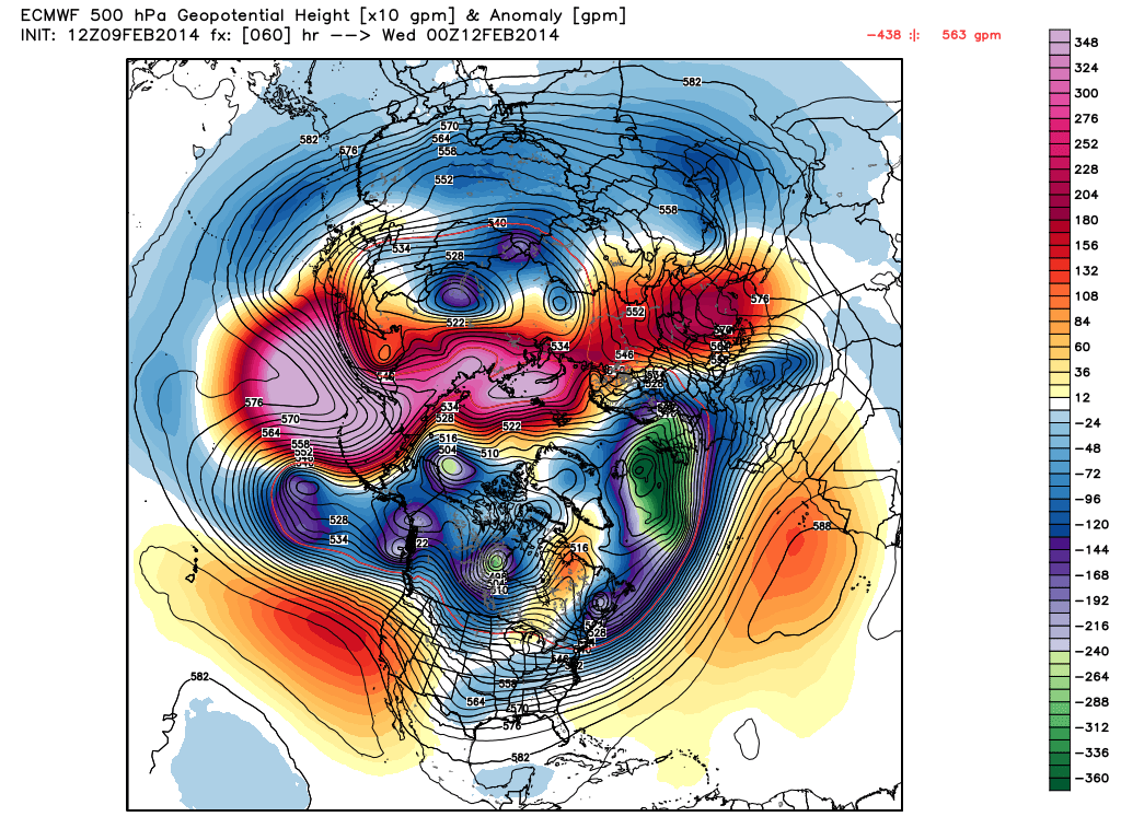
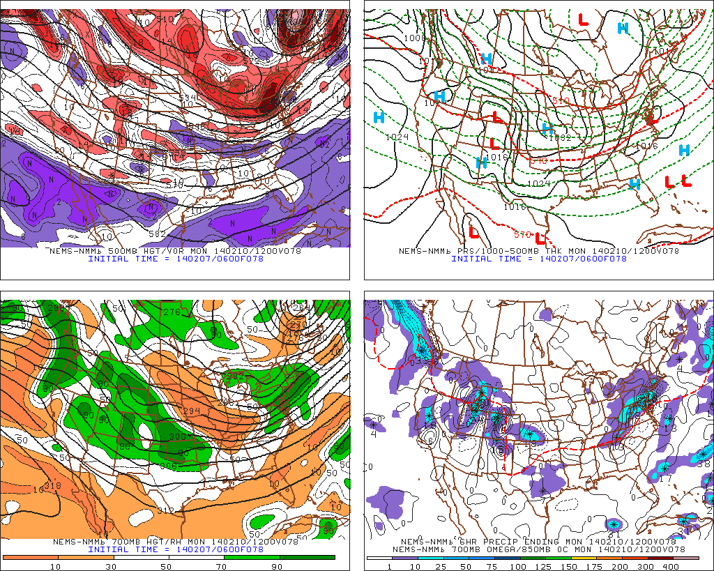
Forecast models have converged on the eventual development and track of a significant coastal storm, which will form on Wednesday and impact the area from later Wednesday through Thursday. Although there is still some variance among model solutions regarding the exact details of the system, a decreasing envelope of potential solutions has increased confidence in the eventual impacts in our area. A strong storm system will develop off the Carolina coast on Wednesday as a result of a powerful mid and upper level trough and shortwave. Phasing disturbances aloft will eventually reach the East Coast and help to develop a strong low pressure system, which will push north and eventually northeastward from the Mid Atlantic coast to the shores of New England.
As this occurs, significant precipitation will surge northward from the Mid Atlantic into New England. Falling as snow initially, precipitation type will become a tough forecast during the height of the storm. Forecast models indicate some mid level and surface warming after an initial burst of heavy snow, which could lead to a changeover to sleet and rain along the area coasts and Long Island. However, as the surface low strengthens and the upper level low nears, temperatures are expected to drop again and precipitation will likely change back over to snow. Accordingly, confidence is rising in a major winter storm throughout the area — with the potentially highest snowfall totals from parts of interior Central New Jersey into Northern NJ and New York City and interior Connecticut.
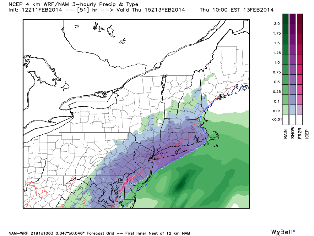
NAM model showing a significant coastal storm impacting the area on Thursday with heavy snow in much of NJ, NY and CT.