Showers, thunderstorms likely through Thursday

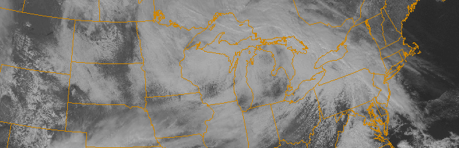
These days, Spring’s impacts are fleeting at best. This week won’t be much different, as Spring will make a one day appearance on Thursday and  disappear for several more days thereafter. Nevertheless, the impacts over the next 24 to 48 hours will be noteworthy when it comes to our sensible weather. A warm front approaching the area will be first signaled this afternoon by steady showers, which will continue on and off through the evening. Temperatures will rise into the 40’s as winds turn southerly from the late afternoon into the overnight period.

A low pressure system developing from the Ohio Valley into the Northern Mid Atlantic will aid in the continuation of the aforementioned southerly flow on Thursday. The approaching warm front will continue the chance of showers, with clouds and fog likely in the morning hours. Temperatures, however, will rebound into the 50’s during the day. The warm front will also be home to a tremendous thermal gradient, which will shift northward through New Jersey toward New York City on Thursday.

Read more

NWS adjusts curiously low snowfall totals at Central Park

For years now, the meteorological community has been aware that Central Park usually reports snowfall totals lower than its surroundings. For reasons not completely known, surrounding stations at Newark, LaGuardia, and Teterboro Airports almost always seem to report higher snowfall totals. Even local, public reports in Midtown and Lower Manhattan seem to consistently come in higher than the Central Park Zoo. This year, the National Weather Service took to the task and edited the official Central Park reports to better match surrounding data.

Snowfall amounts from three separate storms this winter:

January 6th, 2015: Snowfall total adjusted from 0.5″ to 1.0″ (+0.5″)

January 24th, 2015: Snowfall total adjusted from 2.5″ to 3.6″ (+1.1″)

February 2nd, 2015: Snowfall total adjusted from 3.3″ to 5.0″ (+1.7″)

Read more

First week of Spring looks to only be a technicality

Happy Spring, everyone! Well, sort of. Most of the area was blanketed with between 4 and 7 inches of snow on Friday, which was the first day of Spring. This has helped to bring many official weather stations in our area to over double their average snowfall.

Central Park: 4.7″ on March 20-21, 18.6″ of snow in March, 50.3″ seasonal total.

LaGuardia: 4.6″ on March 20-21, 17.2″ of snow in March, 53.8″ seasonal total.

Islip: 5.5″ on March 20-21, 17.9″ of snow in March, 62.2″ seasonal total.

The snowiest March on record was a whopping 30.5″ in 1896, which is unlikely to be broken this year. But snowfall nearing 20″ this month, combined with temperatures averaging between 3 and 4 degrees below average so far has certainly helped to contradict the fact that March is “Meteorological Spring”.

Unfortunately, the cold pattern looks to be continuing, with perhaps even another chance or two of snow over the next ten days.

Read more

Live Blog: Spring starts with moderate snowstorm

No spring for you! Mother nature has other ideas today — and it seems she hasn’t realized that Winter is over. A mid level disturbance moving from the Ohio Valley to the Northeast States will force the development of a surface low pressure system off the Mid Atlantic Coast. Light snow will spread from southwest to northeast today, becoming moderate and steady during the afternoon. Periods of heavy snow are anticipated this afternoon and evening. When all is said and done, most areas will see between 1 and 3 inches of snow — but a band of 3 to 5 inches of snow is likely from Eastern PA through Central NJ toward New York City.

Follow along with our Live Blog today as our meteorologists update with the latest information, data, observations and forecast:

Read more