Warmth on borrowed time as January pattern change looms

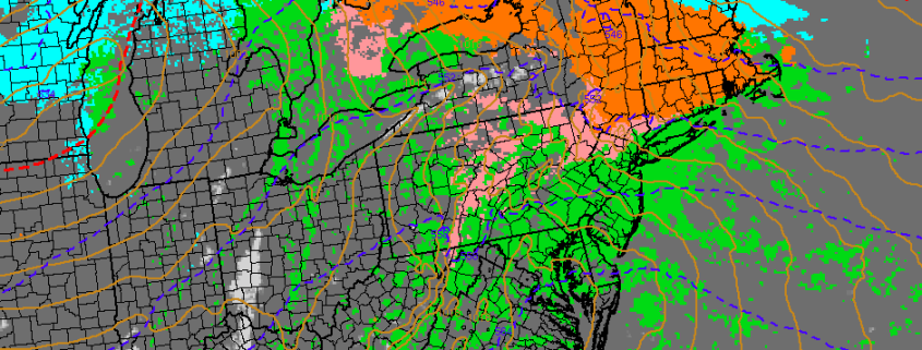
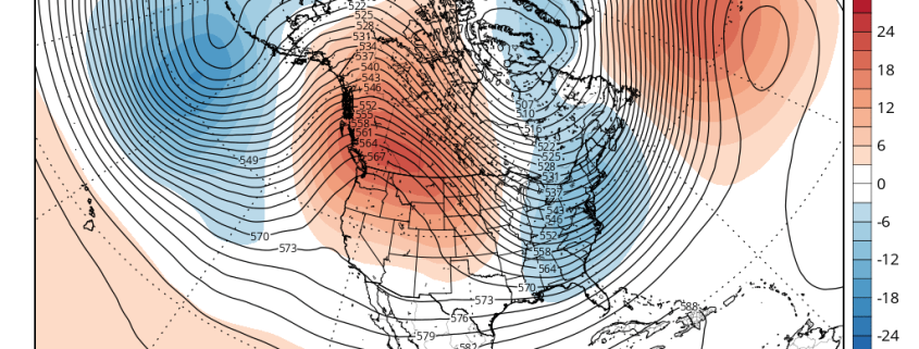
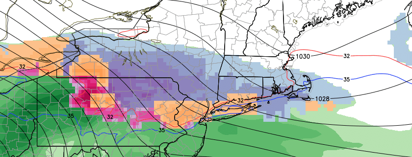
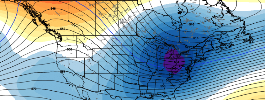
Old man winter may finally be waking up. After a December which, to this point, has featured historically warm temperatures and an overall lack of snow, a well anticipated pattern change now looks increasingly likely to play out during the middle part of January. In fact, forecast models suggest the pattern change is already underway, and the effects of it may be felt a bit earlier than anticipated when we released our Winter Forecast back in early November.

The atmosphere is already undergoing significant changes which will have a tremendous impact on the sensible weather in our area within about two weeks time. Most interesting of all? Those changes are beginning (and are currently most notable) thousands of miles away, in part of the Arctic Ocean north of Sibera known as the Kara Sea. That’s not all, however, a myriad of hemispheric changes are expected over the next few weeks.

Read more

Interior wintry weather expected on Tuesday morning

Skies will remain mostly cloudy through this afternoon and evening, as a cold front approaches from the northwest. Despite the cloudcover, a deep west-southwest flow will help temperatures will rise into the lower to middle 60s. A cold front will slowly move through the region with some scattered showers late this afternoon and early tonight. Precipitable water values near 1.25 to 1.50″ could support some heavy downpours with these showers.

A much colder airmass will follow behind this front late tonight and tomorrow, as a strong Canadian high pressure starts to build into the Northeast. Temperatures will drop into 30s for most areas by dawn. Cold air will continue to advect into region during the day tomorrow, on light north to northeast winds. Model soundings indicate mixing to 900mb-925mb where temperatures are -6C to -8C. Despite some sunshine, temperatures will slowly rise into the upper 30s to lower 40s for highs tomorrow afternoon. These temperatures are seasonal for this time of year.

Read more

Long Range: Winter is Coming…January Pattern Change Details

So far this winter has been mild here with historic warmth. We released a previous premium article stating the reasons why. This is still in much dismay of snow-lovers, while a blessing to many others. But we’ve been discussing a pattern change here for January for a while, and now it appears that some parts of that pattern change are coming together a little sooner than we thought. Some of the climate patterns we discussed are going through major changes.

The pattern change will begin with the development of a large ridge over Scandinavia next week. This ridge builds into a very strong, anomalous ridge over the Barents/Kara Sea next weekend. Meanwhile a deep low/trough near the Aleutians causes another large ridge develop over Western Canada. Both ridges cause the polar vortex over the high-latitudes to begin elongating or splitting, from northwest to southeast. These changes will cause the AO to fall into the negative phase and the PNA to rise into the positive phase. This process results in a large trough with seasonably cold temperatures over the Eastern US shortly after New Year’s Day.

Read more

Long Range: First wintry threat possible for interior next week

Record breaking warmth occurred throughout the area today, with high temperatures in the lower 70’s shattering previous high temperature records by nearly 10 degrees. In fact, New York City reached their record high temperature at 12:01am, breaking the previous record for Christmas Eve set back in 1990. This is no small feat — temperatures averaged almost 30 degrees above normal throughout the day in our forecast area.

In the midst of an incredibly warm, snowless pattern, forecast models suggest the potential for a trend-breaker during the middle of next week. Within a fast, warm mid level atmospheric flow, models are indicating the potential for a slower moving, closed low in the mid levels of the atmosphere. As this low shifts eastward through the Mississippi Valley and eventually de-amplifies toward the Northeast US, the potential exists for significant amounts of moisture to be drawn northward toward the Northeast US. Waiting to our north, precariously timed — as models suggest — will be a strong and cold Canadian high pressure system.

Read more