Complex setup, powerful coastal storm to graze area

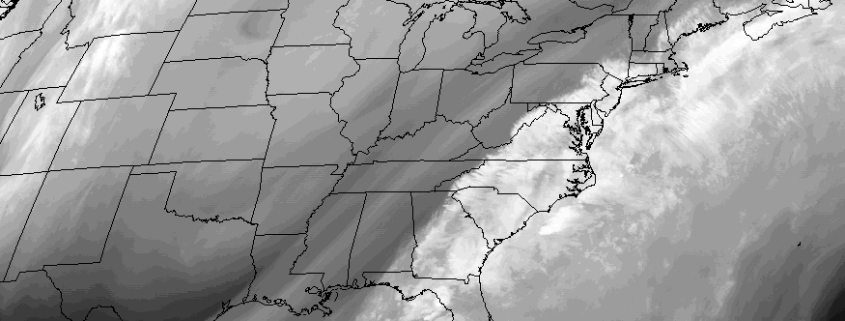
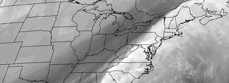
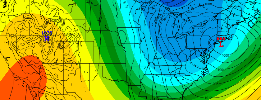
An anomalous and powerful coastal storm is likely to graze the area late this weekend and early next week, with a tremendous breadth of precipitation as the center of low pressure passes hundreds of miles to our east in the Atlantic Ocean. Forecast models have come into better agreement on the evolution of  a large and intense mid and upper level system, with an impressively strong trough moving from the Southeast States to a position southeast of New England by Monday.

Read more

Snow likely with accumulations Friday morning

Forecast models have trended farther northwest — and stronger — with a low pressure system, which is forecast to develop on a frontal boundary off the East Coast from late Thursday into Friday. This is the same frontal boundary which crossed the area on Wednesday Night and Thursday morning, brining the area rain and wind.

Models suggest that as the frontal boundary moves offshore, a secondary area of energy in the mid levels of the atmosphere approaches the area. This energy provides enough lift for precipitation, with sufficient moisture, with precipitation redeveloping to the west of the offshore front. After beginning as rain, precipitation is likely to change to snow — with accumulating snow possible during the morning commute on Friday

Read more

Premium: Friday AM snow potential hazards analysis

Forecast models have trended farther northwest — and stronger — with a low pressure system, which is forecast to develop on a frontal boundary off the East Coast from late Thursday into Friday. This is the same frontal boundary which is crossing the area this evening, and its eventual positioning offshore will have significant impacts on the forecast evolution.

Models suggest that as the frontal boundary moves offshore, a secondary area of energy in the mid levels of the atmosphere approaches the area. This energy provides enough lift for precipitation, with sufficient moisture, and snow will re-develop to the west of the offshore front. A favorably positioned 250mb jet streak could enhance precipitation on the northwest side, bringing light snow to the New Jersey, New York City, Long Island, and Southeast Connecticut on Friday morning.

Read more

Winter returns with multiple threats next week

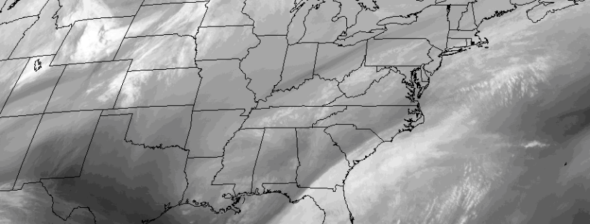
Temperatures will soar into the 50’s and 60’s during the day on Wednesday, as a strong low pressure system drives into the Great Lakes and eventually Southeast Canada.  This will, undoubtedly, leave many wondering if winter has taken its one and only stand with the blizzard at the end of January. Unbeknownst to most, however, is a large ridge driving into British Columbia and the Arctic Circle as we speak. This feature will help unload cold southward into Canada, and as a large ridge builds on the West Coast of the United States next week, multiple threats for winter weather will quickly make their way back into the forecast.

Read more