-2")
Thursday Overview: Warmth will be fleeting
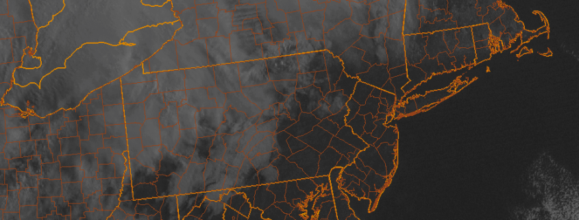
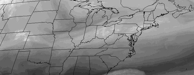
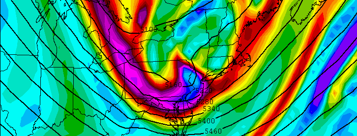
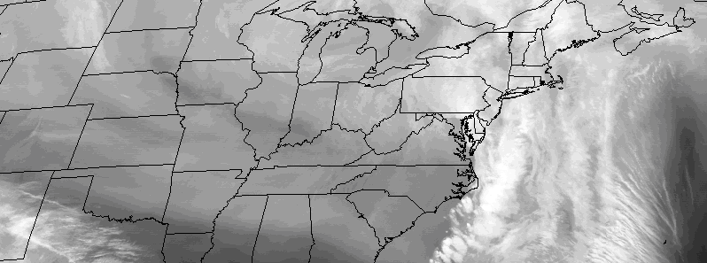
Warmer air has infiltrated the region today, and will remain in the area through the afternoon hours. A storm system to our west is ushering in warmer air via southerly winds, and increasing moisture with higher dew points is notable as well. All of this is occurring ahead of a cold front, which will approach the area later on this afternoon and evening.
The frontal boundary will become the focal point for the development of heavy rain with embedded thunderstorms, some of which may produce gusty winds. These storms will move east/northeast of the area, with another round of showers expected tonight before the system clears out by Friday. The latest and greatest weather information is available below: