Premium Weekly Outlook: Heavy Rainfall Likely Tuesday and Wednesday

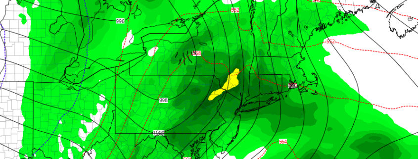
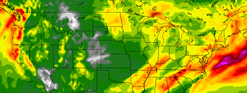
The region has under moderate to severe drought conditions for over past several weeks. But a expansive, complex storm system centered over middle of part of the county, will impact the region Tuesday through Wednesday night, with more widespread, heavy rains likely. A closed upper-level low embedded within larger tough will be moving from the Upper Midwest to Great Lakes. This will cause a mid-level ridge to build over the Eastern US with a mild, moist southerly flow. A couple disturbances with a frontal boundaries will be rotating around the closed upper-level low and trough, causing two rounds of significant rainfall over the region.

Read more

Multiple rounds of heavy rain likely in the Northeast this week

An expansive and multi-faceted storm system will develop throughout the United States during the early and middle part of the upcoming week. Multiple pieces of energy will move from the Plains through the Mississippi and Ohio Valley’s and eventually towards the Northeast — each disturbance aiding in the development of heavy rain over a relatively large area. While wintry precipitation and severe weather are both possible in the Central United States, the main focus in the Northeast will be periods of heavy rain — much needed in many areas.

While uncertainty does exist given the multiple disturbances and intricate interactions between fronts, confidence has increased in the heavy rain threat over the past 24 to 48 hours. Forecast model and ensemble guidance has come into much better agreement on the storms overall evolution, with two separate rounds of rainfall likely in the Northeast US from Tuesday through Thursday.

Read more

Heavy rainfall possible in the East next week

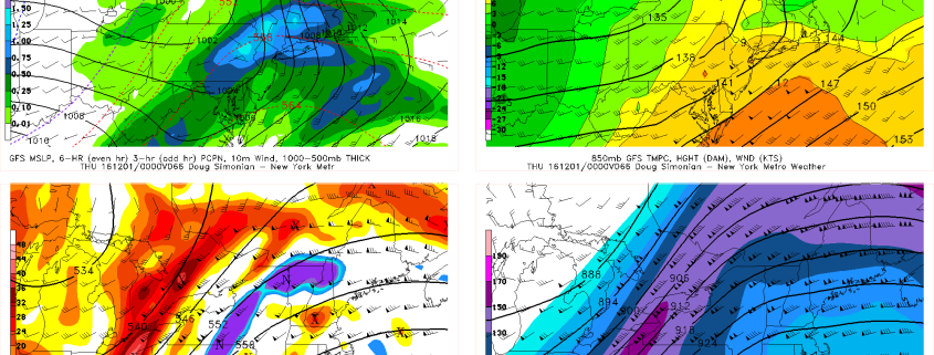
A significant storm system is expected to evolve throughout a large majority of the United States over the next several days — with heavy rainfall impacts possible throughout the Eastern US by the middle part of next week. Much of this would come as good news to the drought-ridden areas of the Eastern US, but the uncertainties in regards to the storm systems exact evolution make forecasting the system extremely difficult. Intricate processes at work will determine exactly where and when the heavy rainfall occurs.

The storm system forms initially over the next 48 hours as a strong disturbance evolves into the Plains states. A strong low pressure system at the surface develops rapidly northward into the Dakotas. Precipitation will spread eastwards towards the Corn Belt by early Monday morning as a front boundary surges eastward. But this initial disturbance is not the only feature of interest. While significant aloft, a second disturbance will move through the Rocky Mountain range during the early part of the week, eventually interacting with the initial storm.

Read more

What the stratosphere and tropical Pacific can tell us about December

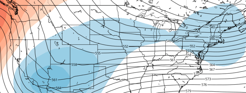
For the better part of the last three weeks, our forecasters have been discussing and monitoring the potential for a pattern change throughout the hemisphere. Medium range model guidance has often been gung-ho with the pattern changing within 7 days. As is often the case, forecast models were too quick to change the pattern. Much of this has to do with poor forecasting of the stratosphere and tropical Pacific ocean. Not coincidentally, these two features can give us clues as to where the pattern is heading in the weeks ahead.

As it stands this afternoon, model guidance and ensembles are in good agreement that a -NAO (North Atlantic Oscillation) pattern will develop over the next two weeks. This pattern is often defined by large ridges or higher than normal heights in the atmosphere over Greenland and the North Atlantic Ocean. -NAO patterns can allow cold air to be displaced farther south into the Northern 1/3 of the United States, particularly the Central and Eastern United States.

Read more