-2")
(Premium) Will May Be Cooler and Wetter Than Normal?
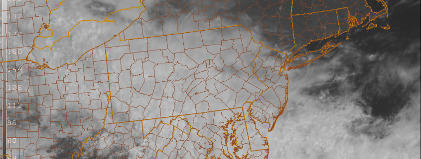
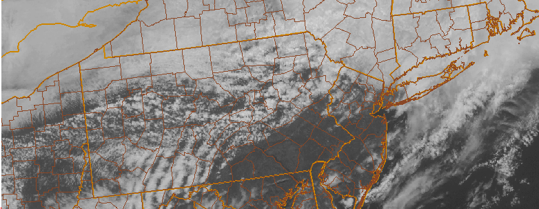
High-latitude blocking returned this week. After a warm start early this week, confluence from an upper-level over Southeast Canada forced a frontal boundary south of the region. This produced cooler than normal temperatures for the rest of the week. As a result, April will likely finish near or slightly below normal on average. It appears that May will start not only cool, but also wetter. So will May also be a cooler and wetter month as a whole? Or will a warming, drier trend occur again later in the month?
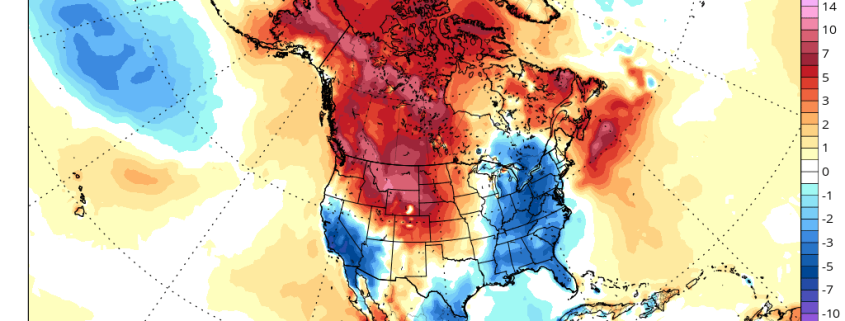
For next week, high-latitude blocking over the AO and NAO regions will start to weaken and an upper-level low moves out of Southeast Canada. But an active split flow pattern with Pacific energy undercutting the West Coast ridge remains into next week. This pattern will keep a succession of troughs moving over the Central and Eastern United States for the next week or two. These troughs will supports airmasses coming down from Canada with mostly below normal temperatures. There is still the potential for backdoor cold fronts and cut-off lows with this pattern as well.