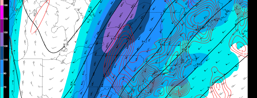
Heavy Rain and Storms Possible Tuesday through Thursday
Happy Labor Day! We are finally enjoying some warm, sunny, summery conditions after a few days of chilly and unsettled weather had dominated the region. This is because a large, full-latitude, but short wavelength trough has moved into the Central US, which is a direct downstream response to the amplified wavebreaking that occurred from a recurving typhoon in the Western Pacific. This amplified pattern has also helped/reinforced a very strong, blocking ridge in the Atlantic, and it’s this trough’s interaction with the blocking Atlantic ridge that could lead to a few rounds of heavy rain and thunderstorms, though not necessarily a washout. Also, our area initially being downstream of this deep trough has led to strong southwesterly flow out ahead of it, and thus a large warming trend in the Eastern Seaboard.

