1/19 AM Zones Update: Unsettled pattern will continue

High pressure has built into the region this morning, and will set the table for fair weather during the remainder of the day today. Temperatures throughout the northeast are expected to remain above average, by several degrees, despite the presence of this high pressure. You can thank a modified Pacific airmass for that!

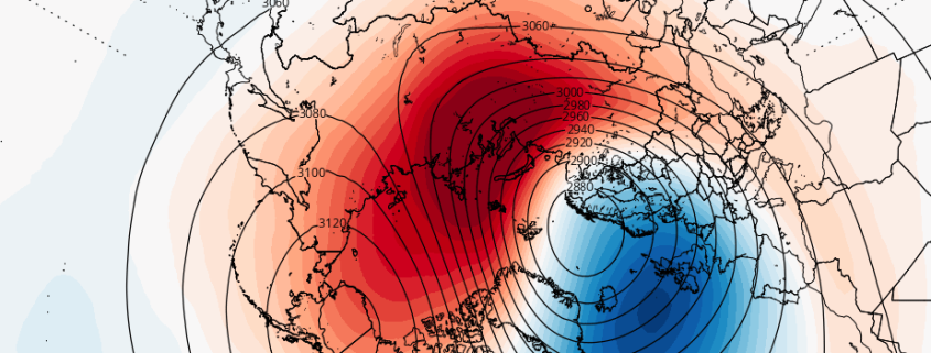
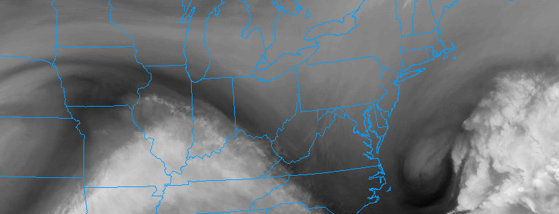
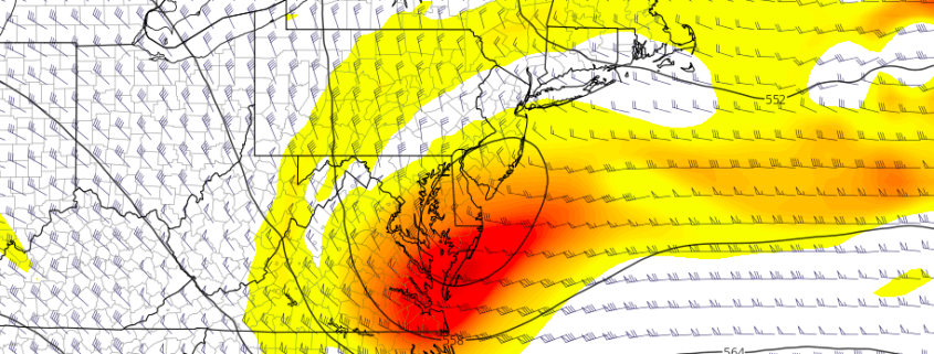
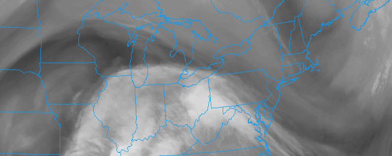
An active, unsettled pattern still looks likely to continue. The first in a series of disturbances will arrive on Friday evening. While the disturbance will be weak and relatively progressive, it does have a weak surface low pressure area and enough lift and moisture for precipitation. A few bands of showers are likely to spread north from the Mid Atlantic into the Northeast on Friday.

Read more

The role of the MJO and stratosphere in the long range pattern

The pattern is changing — again. We discussed in an article on Monday how the Pacific Ocean will play a large role in the long-range pattern going forward. Currently, a jet extension in the Pacific Ocean is facilitating a progressive, mild pattern across the United States with storms tracking over the Central part of the country towards the Great Lakes. But tropical forcing and an MJO pulse will cause a deepening trough over Eastern Asia, with a developing standing wave (ridge) over the Eastern Pacific Ocean.

A huge change from the current state of the pattern, these developing waves in the Pacific Ocean are being caused by the MJO and tropical forcing developments, with additional impacts from the stratosphere. Lets dive in to the details of what is really causing the changing pattern — and why it’s so important.

Read more

1/18 PM Zone Update: Gradual clearing, unsettled pattern continues

Clearing was gradual to occur, as expected, throughout the Northeast United States today as a storm system off the coast of Southern New England slowly departed to the east. Residual moisture in the low levels of the atmosphere was to blame, and ocean effect snow even continued over parts of Maine for several hours as well. Clearing will occur tonight as the storm pulls even further away and the atmosphere dries.

High pressure will build in from later tonight into Thursday, with fair weather expected to return. Temperatures will still average above normal for the majority of the area during the afternoon on Thursday — by several degrees, in fact. But high pressure remaining overhead will mean fair and calm weather through all of Thursday and into the overnight period.

Read more

1/18 AM All Zones Update: Lingering moisture before high pressure

A storm system which brought wintry weather to parts of interior New England this morning is still meandering off the coast of Southern New England, with a surface low pressure moving eastwards a few hundred miles south of Cape Cod. This surface low pressure will slide eastward (almost southeast at times) into the Atlantic. Trailing moisture, especially in the low levels of the atmosphere, will allow drizzly conditions to continue this morning, with gradual clearing.

The moisture will linger a bit longer over northern parts of our region, particularly Connecticut and Eastern New York. But gradually, low and mid level clouds will clear as the afternoon goes on. Even with the presence of a departing storm system, temperatures will remain above seasonal normals for the majority of the area — not even slightly so — with afternoon highs around 5 to 8 degrees above normal across the board.

Read more