-2")
NYC Area Forecast: Strong storms possible today, cooler weekend
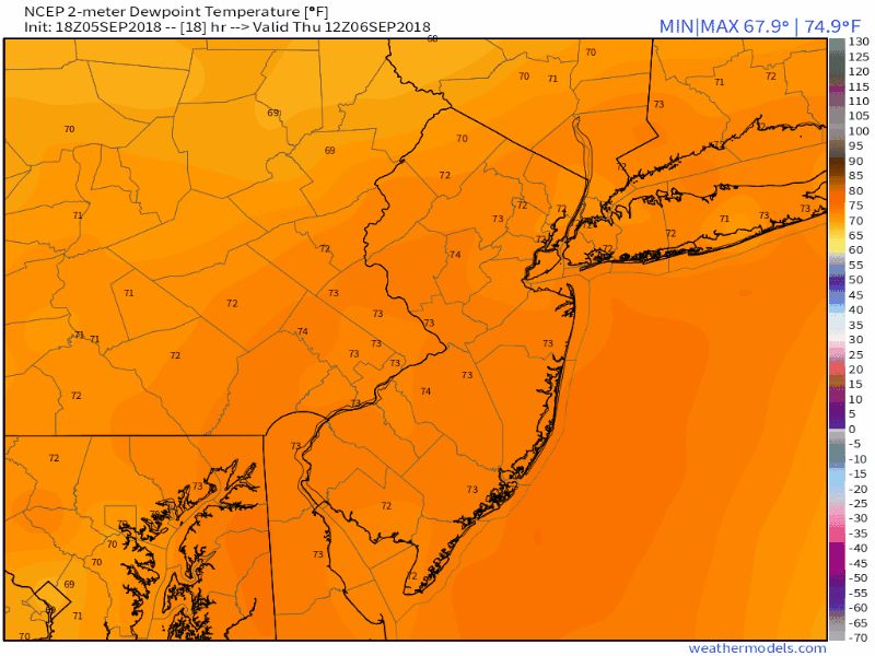
Heat and humidity are expected to reach a relative peak today in the Mid-Atlantic and Northeast states, with rising dew points and temperatures leading to oppressive Heat Index values once again. The National Weather Service has extended the Heat Advisory (which was already in place) into Thursday evening, with Heat Index Values expected to rise near 100 F in many areas from New Jersey into the NYC Metro Area and Connecticut.
As you may be aware, the Heat Index value is a function of both temperature and dew point, and although temperatures will reach the lower 90’s later today the main story will be the dew points. They’ll rise well into the 70’s, which will leave the airmass feeling hot, thick and sticky. It will also be unstable as a result, and with a frontal boundary approaching during the afternoon, the instability will serve as fuel for the development of thunderstorms.
There are a few key ingredients needed for the development of organized thunderstorms: Instability (we have that today), lift (we have that as well, near a frontal boundary), and the right amount of wind shear (we don’t have that). As a result, we aren’t anticipating today’s thunderstorms to be particularly organized; in other words, a widespread severe weather event isn’t likely. Instead, scattered strong to severe thunderstorms are possible this afternoon.
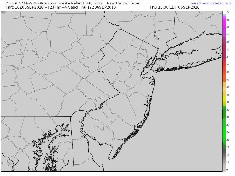
The NAM model suggests storms surge through the area during the afternoon hours Thursday.
The lack of favorable wind shear means that storms will struggle to organize effectively. Severe thunderstorms are possible due to the lift and instability, but they are expected to remain scattered and sporadic. The best chance will be during the afternoon hours as the front sinks southward. Accordingly, the Storm Prediction Center has placed much of the area in a Marginal Risk for severe storms. This risk category is exactly what it sounds like – meant for days when severe thunderstorms are possible, but expected to be scattered in coverage and not particularly organized.
Still, areas that do experience strong or severe storms could see hazardous weather. Storms will be capable of producing dangerous lightning, torrential rainfall, and strong, gusty winds. The threat will gradually progress southward during the day – starting in the afternoon across the Lower Hudson Valley and then shifting southward into New Jersey during the afternoon and early evening. Storms will weaken and shift southeast after sunset.
A temporarily cooler, refreshing weekend ahead
A notable dew point drop this weekend. It’s going to feel a lot more comfortable!
With the southward movement of the front will come cooler and then some drier air. However, some showers are still possible with front moving slowly southward and weak wave of low pressure running it, especially on Friday. Forecast models are in good agreement that Saturday and Sunday will feature high temperatures 20 degrees cooler (or more) than we have observed this week – in the 70’s for high temperatures in many areas. Dew points are expected to drop as well, which will leave the air feeling much more comfortable.
Expect the cooler and more comfortable air to continue into the early part of next week, before ridging in the atmosphere begins to return and allow temperatures to warm up. Some more showers or thunderstorms may also be around, as a warm front moves northward, especially on Monday. Additional warmth is expected by the middle part of next week as a large ridge returns and temperatures will – again – trend above normal.
Eyes will then undoubtedly turn to the track of Hurricane Florence. We’ve got the latest on her in our blog post from yesterday evening, and there will be new information coming later today as well!
Leave a Reply
Want to join the discussion?Feel free to contribute!