-2")
Cope, CO | 5/28/2018
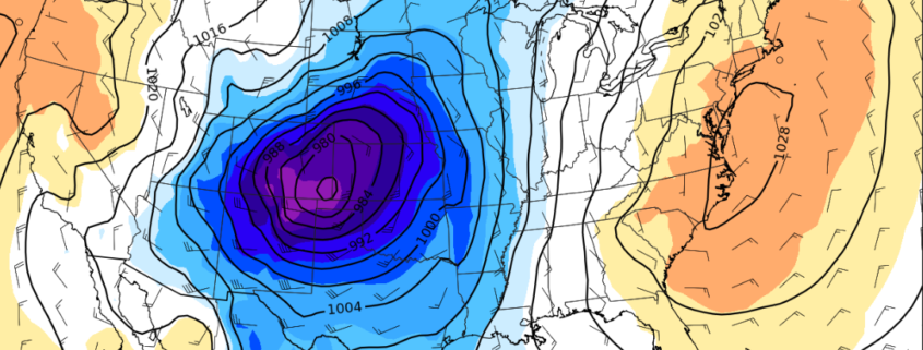
It was fairly clear from the start that this day had the potential to be significant. Most short term forecast models were in good agreement on an area of favorability – with impressive kinematic and thermodynamic support in parts of Eastern Colorado. We had set up camp in Denver the night before (a really nice convenience), so the drive out for these storms was only going to take an hour or so.
The day began with some concerns regarding clearing in the warm sector. We were warm front chasing – and that’s always a bit of a nightmare. The low cloud deck was stubborn even as we drove east on I-70. Initially, we decided to set up just off the road in Seibert, CO. This gave us room to maneuver to the north or east as needed.
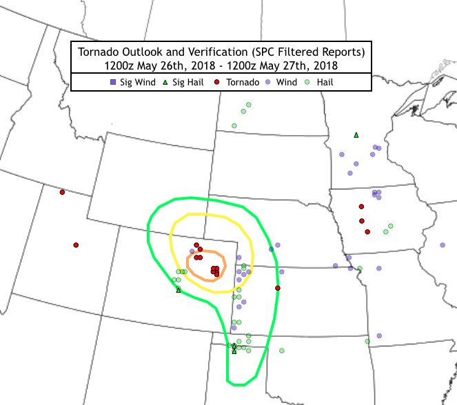
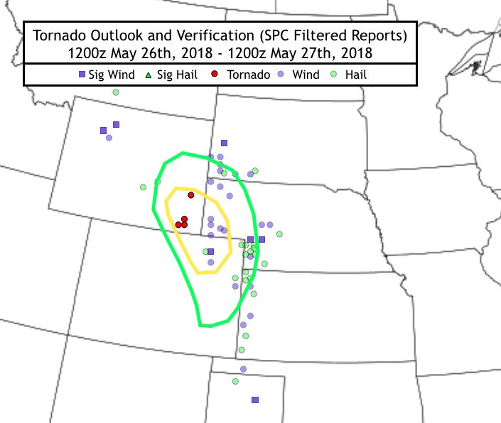
Our local target forecast from the morning of 5/28 (The dates are wrong on the top of the image) and verified storm reports.
Our initial target was solid – we met up with a few other chasers that were in a similar position. I-36 and I-70 run parallel to each other in Eastern Colorado, but there are very few paved roads in between (maybe one every mile or so). This meant we needed to plan our target and routes a bit more carefully. It became apparent as the lower level cloud deck began to clear that the boundary we were near was lifting northward.
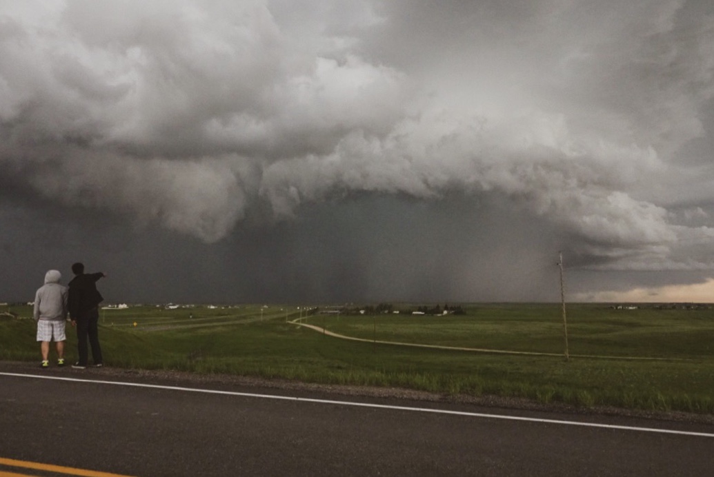
We began to re-position further north and closer to I-36. This left us in a position somewhere equidistant between Cope and Seibert (our initial position). Initiation began along the boundary at this time, and with ample kinematics in play the storms quickly became severe and began rotating. Tornado warnings were issued fairly quickly.
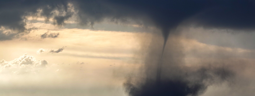
Low level shear was very supportive of rotation but the overall intensity of the day was a bit capped by the mid level flow being quite weak. What we got instead was an explosion of landspouts and weak tornadoes. In fact, the NWS would go on to confirm over 7 landspouts and weak tornadoes in the area we were chasing. At some points there were 3 or more on the ground at once.
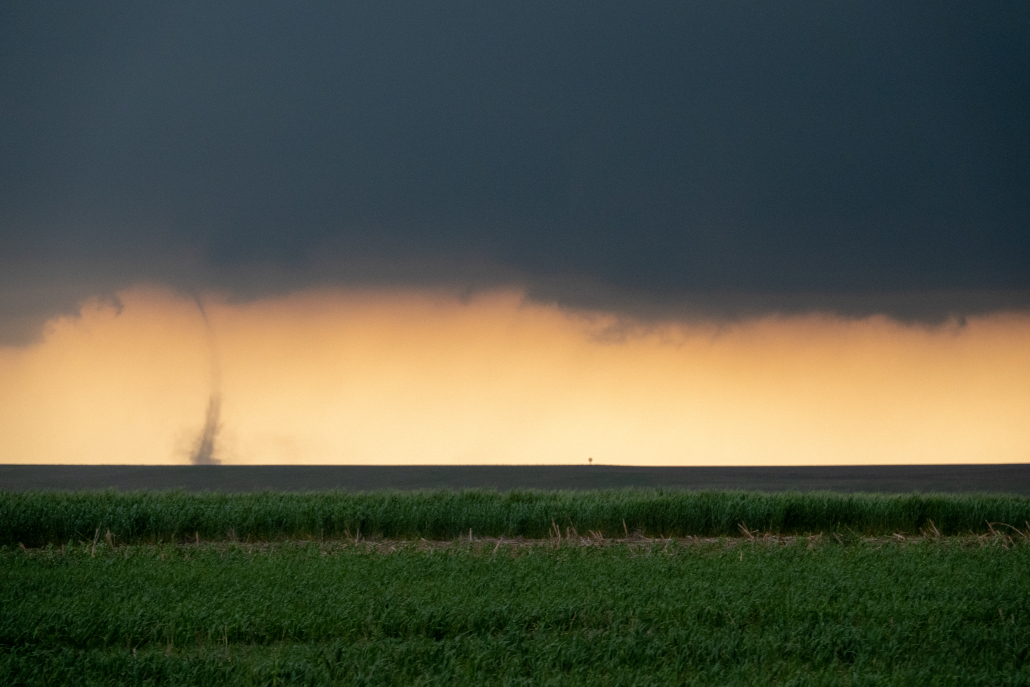
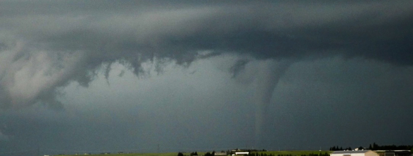
A landspout forms just west of Cope, Colorado (John Homenuk).
It was truly exhilarating and calming at the same time – we knew we were seeing something amazing, but we also knew the intensity of the tornadoes was somewhat capped (no violent tornadoes expected). The landspouts and tornadoes also were in a scarcely populated area, which is a chasers dream – no damage to property.
We chased these landspouts until they began to weaken and the boundary began to shift, allowing storm mode to change. Hail quickly became a problem and storms began to congeal – which meant it was time for us to get the heck out of there. That is exactly what we did, and our trip back to Denver was accompanied by a fantastic sunset.
Finally, I am able to deliver what the people have been waiting for: My slightly tilted video of a Colorado tornado on May 28th. Stoked to include this in our upcoming storm chasing compilation. #cowx pic.twitter.com/pp9e4MG1ID
— John Homenuk (@jhomenuk) June 6, 2018
Heck of a day.