Cool and pleasant weekend, more rain early next week

Stop us if you’ve heard this before: More rain, and zero snow, is in the forecast.

We’ll start with some good news. Pleasant weather is likely to continue for the next few days, taking us through the weekend, as a cold high pressure remains in control. While it will be chilly, with temperatures below average for some periods of time, temperatures will eventually moderate. Plenty of sunshine is expected, with no hazardous weather through Sunday.

Read more

Drizzle likely today, cold air returns thereafter

Dreary and drizzly conditions are expected to continue today, as the atmosphere remains moist and period lift moves through the area – both necessary ingredients for light precipitation. The majority of heavy precipitation will remain to our north, over New England.

Similar to most storms this winter season, the threat for winter weather in the NYC Metro Area will be quite low. Most cold air will remain to our north in New England, where light winter weather impacts are more likely.

After the rain and drizzle move through our region today, colder air is expected to temporarily surge into the Northeast. High temperatures from Wednesday through Friday will be near or slightly below seasonal averages for the date, which after several days of above normal temperatures will certainly feel chilly.

The longer range pattern looks to remain active, with volatile weather expected. A few storm systems are likely to eject from the Rockies in 5-7 days, moving eastward into the Great Lakes and New England. Winter weather potential will remain quite low, but unsettled/rainy weather will likely return during this time.

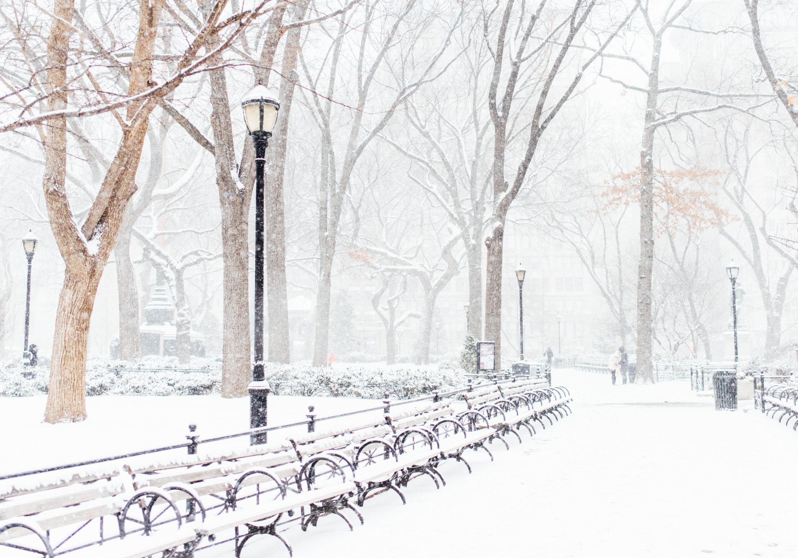
The year without a winter in NYC looks likely to continue, and at this juncture there are very few signs supporting additional snowfall of any significance.

What is a snow squall? Warnings issued for NYC through 415pm

The National Weather Service has issued a Snow Squall Warning for the NYC Metro Area until 4:15pm. An emergency alert was pushed to cell phones throughout area earlier this afternoon.

A snow squall is a concentrated area of heavy snow which can produce reduced visibility and strong wind gusts. Snow can accumulate quickly on all surfaces and travel can become dangerous.

Read more

Another messy winter storm expected from Monday into Tuesday

One common thread running through all of our winter storm threats so far this season has been mixed precipitation types. An upcoming storm, expected to impact the area from Monday into Tuesday, is likely to be no different. Precipitation may begin as snow, but will then change to a mix of sleet and freezing rain before turning to plain rain on Tuesday.

The storm systems journey begins in the Central United States, with a low pressure center moving northward towards New England early next week. The system will be mostly driven by a process known as warm air advection, or the movement of warm air throughout the atmosphere.

Read more