Premium: Severe Weather Threat for the Interior Northeast Friday into Saturday

Today will be another very warm and humid summery day for the Northeast with more widely scattered showers and thunderstorms popping up this afternoon and evening. Due to the stronger mid-level ridging, very weak wind fields and less instability with warmer mid-level temperatures, these storms will likely be less intense and fewer and father in between than on Wednesday. But will still be very slow-moving and capable of producing some heavy rainfall and flash flooding in some spots.

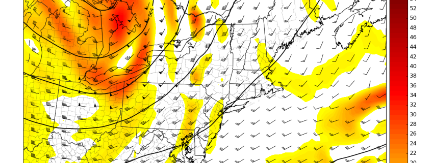
However, a shortwave energy embedded in a larger upper-level trough will be amplifying over the Great Lakes Friday and Saturday. This will cause low pressure to deepen and track northeast through the Great Lakes into Southeast Canada on Friday and Saturday. As it does so, it will drag a frontal boundary will be moving be slowly through the region, as ridging from the Western Atlantic gradually breaks down. Large scale ascent and lowering heights will support more numerous showers and thunderstorms over the Interior Northeast again.

Read more

Premium Long Range: Cooler, Active Pattern Next Week…More Changes Late Month?

Good morning! More summer-like weather with more heat and humidity will continue for the rest of the week,with some scattered showers and thunderstorms possible each afternoon or evening. But it appears the Western Hemispheric pattern will undergo another more significant changes to support some cooler weather again for next week.

First changes, will start occurring over North Pacific as usual this week. An upper-level low will be near the Aleutian Islands or Southwest Alaska. This will cause a high-amplitude ridge to build over the West Coast by early next week. This will result in a larger trough digging and encompassing much of the Central and Eastern US over for next week.  Then cooler airmasses from Canada will be invading the CONUS, with temperatures well below over the much of the Northern and Central Plains and into parts of Great Lakes and Ohio Valley.

Read more

Locally Strong Thunderstorms Possible on Wednesday

Good evening! We hope you enjoyed this summery Tuesday. This article is going to just focus on the potential for thunderstorms on Wednesday afternoon — some of which could briefly pulse to strong to even severe status.

It all starts with a shortwave trough that will be moving into the area on Wednesday, bringing plenty of vorticity with it and thus lift. This is a true lifting mechanism that we have not had over the past couple of days, which should allow coverage of thunderstorms to be higher on Wednesday than on Monday and Tuesday.

Tuesday afternoon's NAM model valid for Tuesday afternoon shows a shortwave trough with embedded vorticity helping to trigger some showers and thunderstorms in New Jersey.

Tuesday afternoon’s NAM model valid for Tuesday afternoon shows a shortwave trough with embedded vorticity helping to trigger some showers and thunderstorms in New Jersey.

In the midst of this warm and humid airmass, surface-based instability should be pretty high already, but the fact that this shortwave trough will be lowering heights a bit but also not contaminating the airmass with too much moisture will help increase lapse rates somewhat significantly. This allows for updrafts to potentially be more robust and for more of the cumulonimbus cloud to be in dense, cold air aloft — both factors allow for more hail formation, the potential for downburst gusty winds, and somewhat vivid lightning.

Read more

Premium AM Update: More Heat & Humidity Today…PM T-Storms Possible Wednesday

Good morning! More typical summer-time heat and humidity is in store for next few days. For today, weak high pressure and upper-level ridging will be over Northeast and Mid-Atlantic region,. This will result in mostly sunny skies for much of the day. Latest models show 850mb temperatures between around 15° C to 17° C with very light westerly winds later today. This will support high temperatures in the upper 80s to around 90 over much of the local region today. A weak flow will allow for some sea-breezes to develop again this afternoon and keep temperatures from rising out lower to middle 80s right along the shores.

There isn’t much of a trigger for convection today. But a surface trough will develop again over  the Interior. The NAM model forecasts instability to build with MLCAPE 500 -1000 joules. So few isolated showers and thunderstorms could develop this afternoon over Interior parts of NY, PA, New England and over Northwest NJ. The main threat from thunderstorms with a very weak shear and poor mid-level lapse rates, with be locally heavy rainfall, as any thunderstorms will likely be slow-moving. Therefore these showers or thunderstorms are not likely make it down to more coastal areas, before diminishing closer to sunset.

Read more