The role of the MJO and stratosphere in the long range pattern

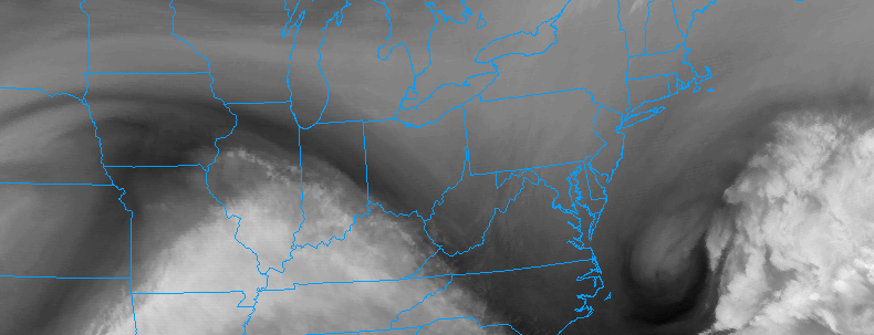
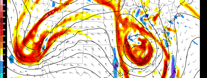
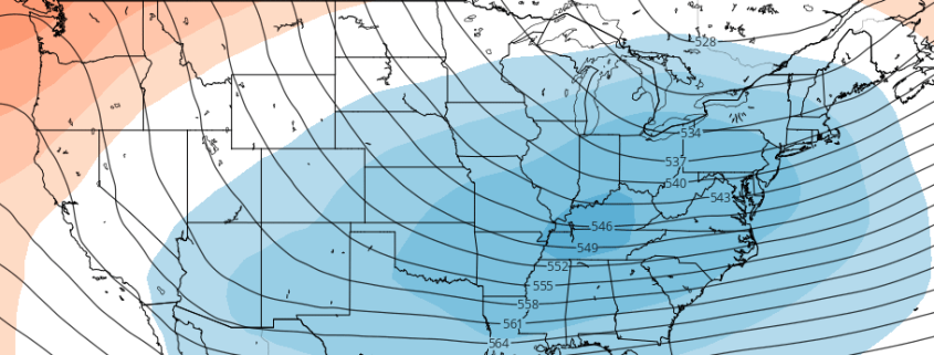
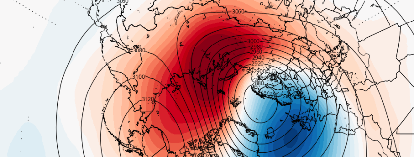
The pattern is changing — again. We discussed in an article on Monday how the Pacific Ocean will play a large role in the long-range pattern going forward. Currently, a jet extension in the Pacific Ocean is facilitating a progressive, mild pattern across the United States with storms tracking over the Central part of the country towards the Great Lakes. But tropical forcing and an MJO pulse will cause a deepening trough over Eastern Asia, with a developing standing wave (ridge) over the Eastern Pacific Ocean.

A huge change from the current state of the pattern, these developing waves in the Pacific Ocean are being caused by the MJO and tropical forcing developments, with additional impacts from the stratosphere. Lets dive in to the details of what is really causing the changing pattern — and why it’s so important.

Read more

1/18 PM Zone Update: Gradual clearing, unsettled pattern continues

Clearing was gradual to occur, as expected, throughout the Northeast United States today as a storm system off the coast of Southern New England slowly departed to the east. Residual moisture in the low levels of the atmosphere was to blame, and ocean effect snow even continued over parts of Maine for several hours as well. Clearing will occur tonight as the storm pulls even further away and the atmosphere dries.

High pressure will build in from later tonight into Thursday, with fair weather expected to return. Temperatures will still average above normal for the majority of the area during the afternoon on Thursday — by several degrees, in fact. But high pressure remaining overhead will mean fair and calm weather through all of Thursday and into the overnight period.

Read more

Significant Rain and Wind Event Possible Early Next Week

While most of the weather interest this time of year revolves around snowstorms, we are simply not in a pattern favorable for any in the next ten days or so. Instead, we have a very fast, active Pacific Jet with a plethora of disturbances running into the West Coast. Any one of these can theoretically bring rain to our area as they traverse the country, but that is largely dependent on the pattern downstream. As we head into this weekend, the pattern will become very “blocked up”, which means that any storm that moves east will be forced to slow down and amplify before it has any chance to move north and eastward towards our area. Essentially, the Pacific Jet serves as a highway, and the blocking pattern serves as a traffic jam that forces everything to slow down. When several shortwaves are forced to slow down, the traffic increases and backs up more with time, which forces the slowing down to move much further southwest with time. This means that several potent shortwaves are forced to interact with each other well to our southwest and turn into a monster storm system that has to slow down, and tap into plenty of Gulf of Mexico moisture.

Read more

Long range pattern changes largely dependent on the Pacific

“Consistently inconsistent”. We’ve used the phrase a few times in our products over the past few days, and there’s good reason for that: The weather pattern over the past two months has struggled to find any sort of rhythm. Typical of weak La Nina conditions, the hemispheric weather pattern continues to undergo fluctuations, with transitions from warmer to colder patterns occurring every 10 to 15 days. The warmer patterns have the edge so far this year in terms of anomalies throughout much of the Northeast US.

An analysis of the hemispheric pattern “Scorecard” so far this year will bring you to one simple conclusion: The pattern in the Pacific Ocean has, by and large, been the driving force behind the weather observed here in the Northeast US. For some, it’s still hard to comprehend how the weather pattern thousands of miles to our west, in a seemingly harmless part of the world, can have such an impact. But when considering the atmospheres wave pattern, it becomes easier to understand. What happens downstream, to our west, affects the waves and wavelengths that transpire further east.

Read more