Premium Weekly Outlook: Heavy Rainfall Likely Tuesday and Wednesday

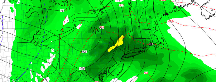
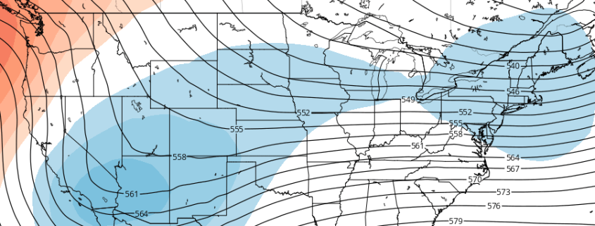
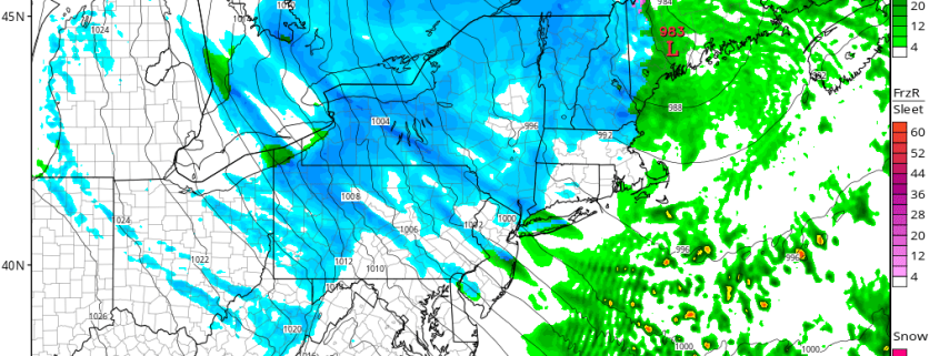
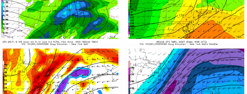
The region has under moderate to severe drought conditions for over past several weeks. But a expansive, complex storm system centered over middle of part of the county, will impact the region Tuesday through Wednesday night, with more widespread, heavy rains likely. A closed upper-level low embedded within larger tough will be moving from the Upper Midwest to Great Lakes. This will cause a mid-level ridge to build over the Eastern US with a mild, moist southerly flow. A couple disturbances with a frontal boundaries will be rotating around the closed upper-level low and trough, causing two rounds of significant rainfall over the region.

Read more

Multiple rounds of heavy rain likely in the Northeast this week

An expansive and multi-faceted storm system will develop throughout the United States during the early and middle part of the upcoming week. Multiple pieces of energy will move from the Plains through the Mississippi and Ohio Valley’s and eventually towards the Northeast — each disturbance aiding in the development of heavy rain over a relatively large area. While wintry precipitation and severe weather are both possible in the Central United States, the main focus in the Northeast will be periods of heavy rain — much needed in many areas.

While uncertainty does exist given the multiple disturbances and intricate interactions between fronts, confidence has increased in the heavy rain threat over the past 24 to 48 hours. Forecast model and ensemble guidance has come into much better agreement on the storms overall evolution, with two separate rounds of rainfall likely in the Northeast US from Tuesday through Thursday.

Read more

What the stratosphere and tropical Pacific can tell us about December

For the better part of the last three weeks, our forecasters have been discussing and monitoring the potential for a pattern change throughout the hemisphere. Medium range model guidance has often been gung-ho with the pattern changing within 7 days. As is often the case, forecast models were too quick to change the pattern. Much of this has to do with poor forecasting of the stratosphere and tropical Pacific ocean. Not coincidentally, these two features can give us clues as to where the pattern is heading in the weeks ahead.

As it stands this afternoon, model guidance and ensembles are in good agreement that a -NAO (North Atlantic Oscillation) pattern will develop over the next two weeks. This pattern is often defined by large ridges or higher than normal heights in the atmosphere over Greenland and the North Atlantic Ocean. -NAO patterns can allow cold air to be displaced farther south into the Northern 1/3 of the United States, particularly the Central and Eastern United States.

Read more

Premium: Snow Squalls Possible on Sunday

Although we have generally been basked in a sea of warmth, we are getting to the time of year where snow becomes a more realistic possibility. A large storm system traversed the central part of the US, bringing blizzard conditions to the upper Plains and upper Midwest. While the pattern across most of North America has been pretty warm thanks to a raging Pacific Jet, this storm is powerful enough to tap into some cold air up north — while that air is not as cold as it “should” be this time of year, that air is still cold enough that if tapped into, could yield snow, if there is precipitation, of course.

Ahead of this storm, more warmth has moved into the Northeast, with high temperatures in the upper 60s today. A little bit more in the way of onshore flow is expected on Saturday, which may keep temperatures a tad cooler, but they still will be overall quite warm for this time of year — into the low to mid 60s. But part of this warmth stems from being ahead of a cold front, and once this cold front crosses, cold air advection will be taking place, but it will also be aided by a deepening secondary low pressure system, funneling in cold air from Canada and tapping into the aforementioned cold air.

Read more