-2")
First Widespread Snowfall of the Season Likely Saturday!
Good Evening Folks!
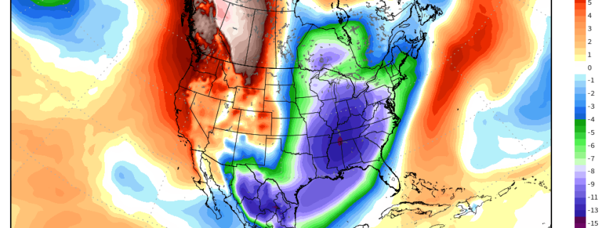
Well the close-call we warned you about on Monday has trended much closer to the coast over the past 48 hours, and looks to deliver the first light to moderate snowfall for many locations long the I-95 corridor! The setup for this storm has been a cold one, as a weak area of high pressure attempted to build over the Mid Atlantic states this afternoon. This area of high pressure has brought a more substantive portion of the Arctic airmass that lies just to our north, and this could certainly be felt today as the air had more of a “bite” to it. This Arctic air is also noticeably more dry than the previous stale airmass that has been in place, and will play a role in the snowfall forecast for tomorrow. Regardless, today’s highs were a bit colder than the past few days due to the reinforcement of the colder air and some mid to high level clouds streaming in overhead. The vast majority of the Northeast saw highs in the lower to middle 30’s, with middle to upper 30’s closer to New York and Philadelphia. This is just below normal for this time of year, and should be the norm for the next couple of days.
As we head into the evening hours, skies should remain mostly cloudy as more mid to low level moisture streams in thanks to a stout mid level jet transporting rich tropical moisture northward. As I mentioned earlier, there is a good amount of dry air in the mid to lower levels of the atmosphere, this should hold off the snow until the very early morning hours of Saturday. Locations farther south in portions of New Jersey may see an earlier start time due to more available moisture. In fact, Cape May New Jersey is currently seeing moderate snow, but this may be due to a moist marine airmass in that area. Overall, expect the mostly cloudy conditions to continue overnight, with lows likely dropping into the upper 20’s and lower 30”s across much of the New York city area. There is the possibility that the dry air will not be able to hold on for as long as the models expect, and portions of New Jersey, Maryland, Delaware and Pennsylvania could see some light snow before sunrise. Only light accumulations around a trace to two inches would be expected if this were to occur.
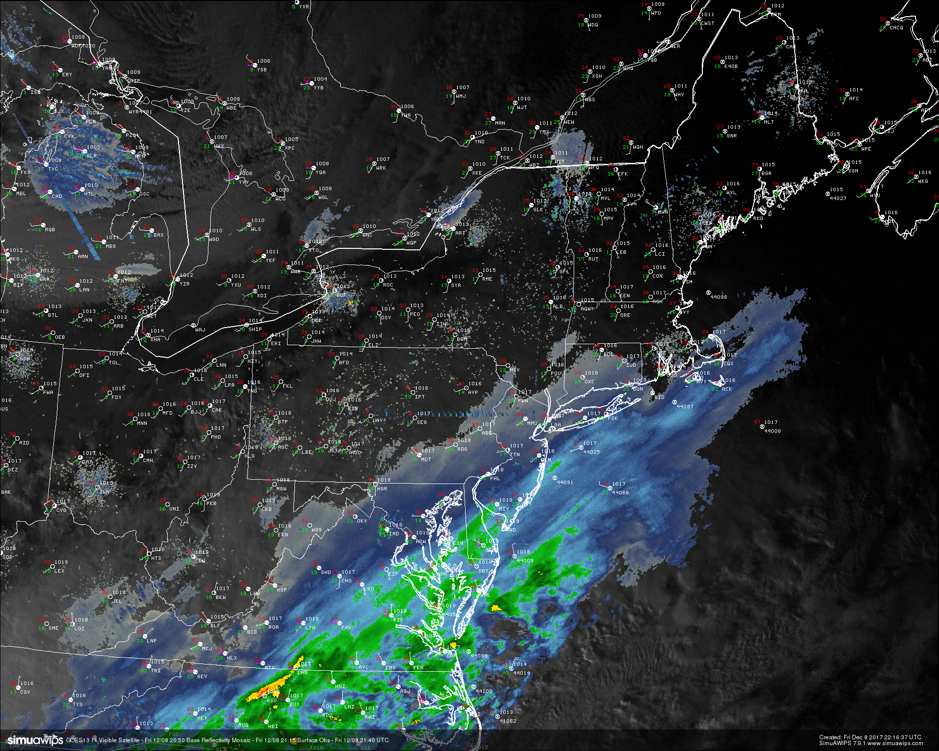
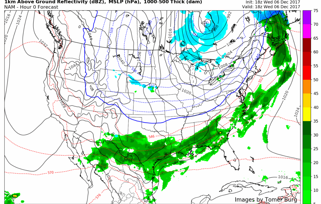
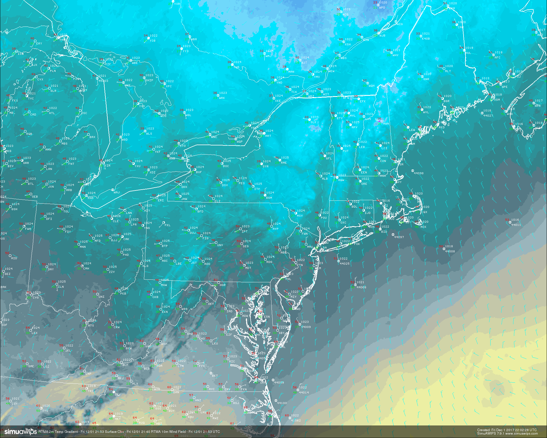
This evenings last-light visible satellite imagery, surface observations, and regional radar showing precipitation starting to work north into the Northeast.
Moderate Snowstorm Likely Saturday
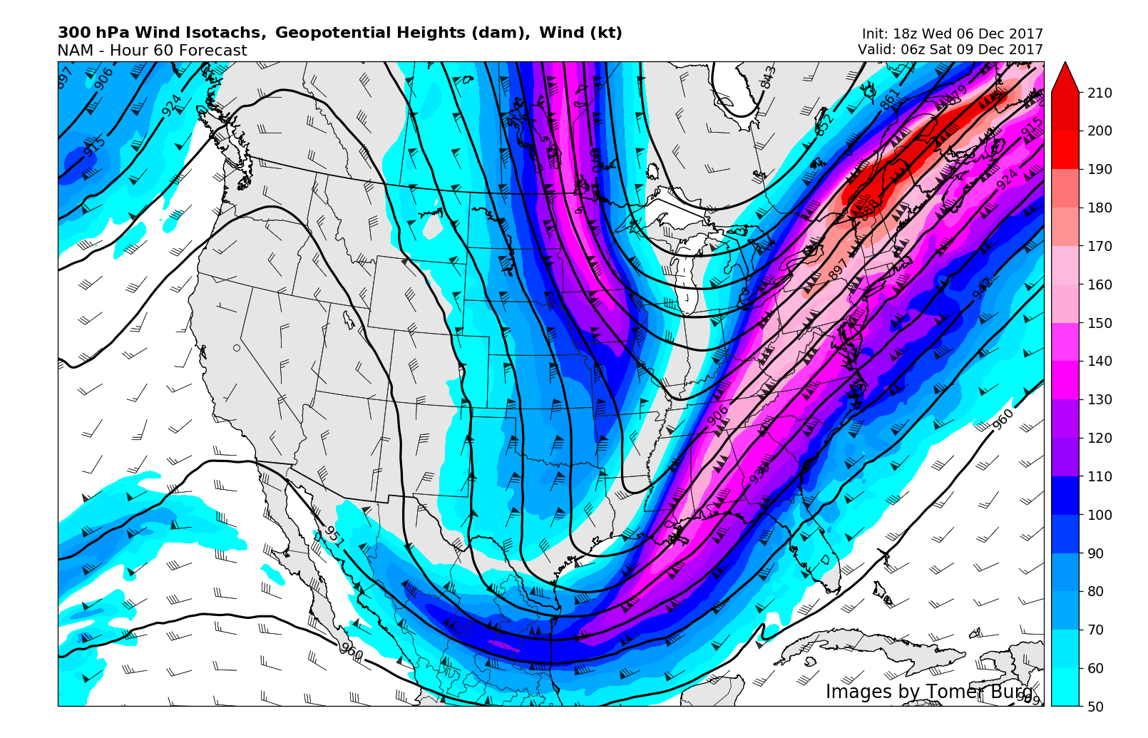
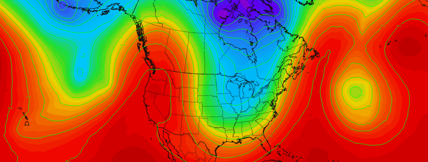
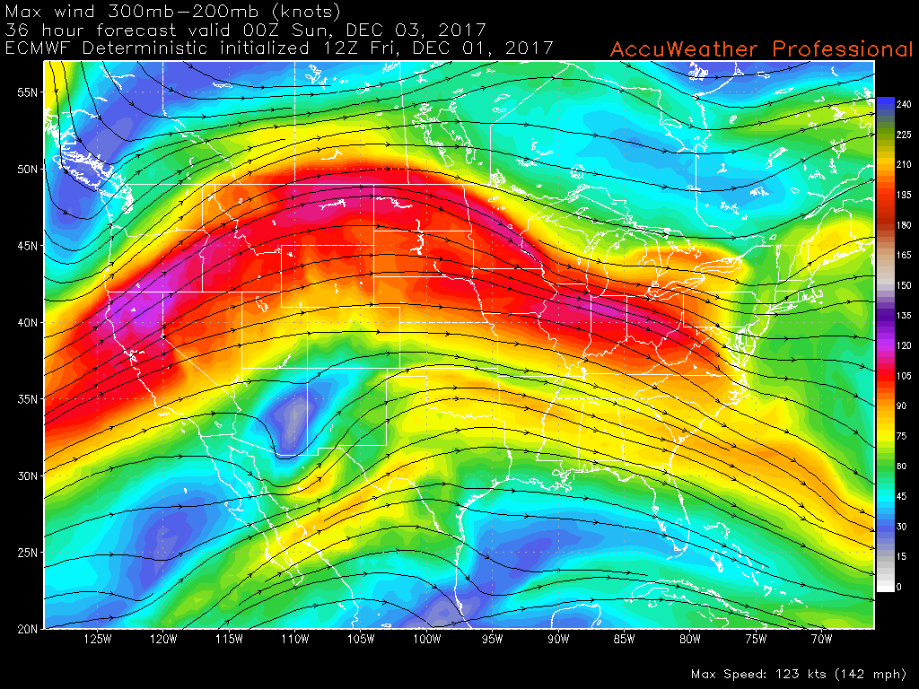
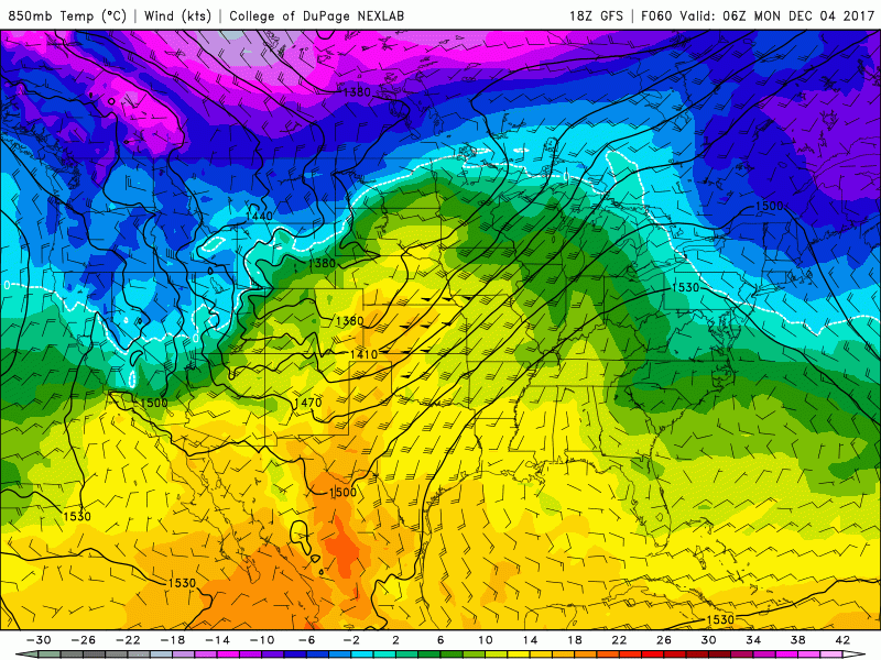
The massive area of tropical moisture that we talked about back on Wednesday has certainly left its impact across the south over the past 36 hours, with snow being reported in all of the Gulf Coast states except for Florida. This system is being aided by a very strong and anomalous upper level jet streak overhead, which is working to promote the development of intense precipitation over the southeastern states. This system is not the only player for our storm tomorrow, as we have also been tracking an energetic piece of energy diving down from the far northern regions of Canada. As this system continues to move south and into the Great Lakes region, it will begin to interact with the system over the southeast and begin to create a favorable environment for the development of a coastal low to form just off the southeast coast. As this low continues to take shape and the two systems begin to interact further, we should see the bulk of the precipitation begin to move north and expand quite a bit over the Northeast by the early tomorrow morning. This expansion of the precipitation was something that was not well-handled by the models a couple days ago, and is likely to due to the very strong upper level jet streak aiding to the development of precipitation over the area. Snow should start from south to north tomorrow morning, and eventually making its way into the NYC area by 11am or so.
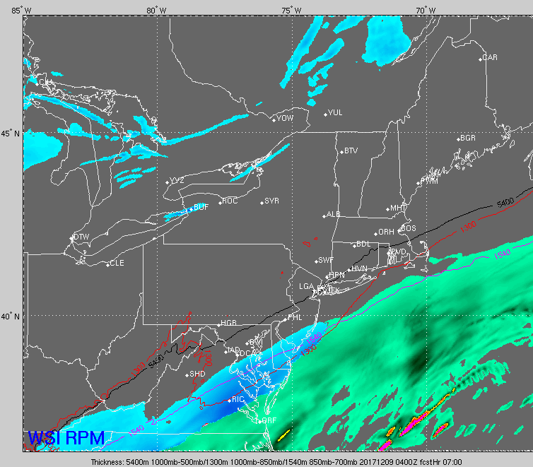
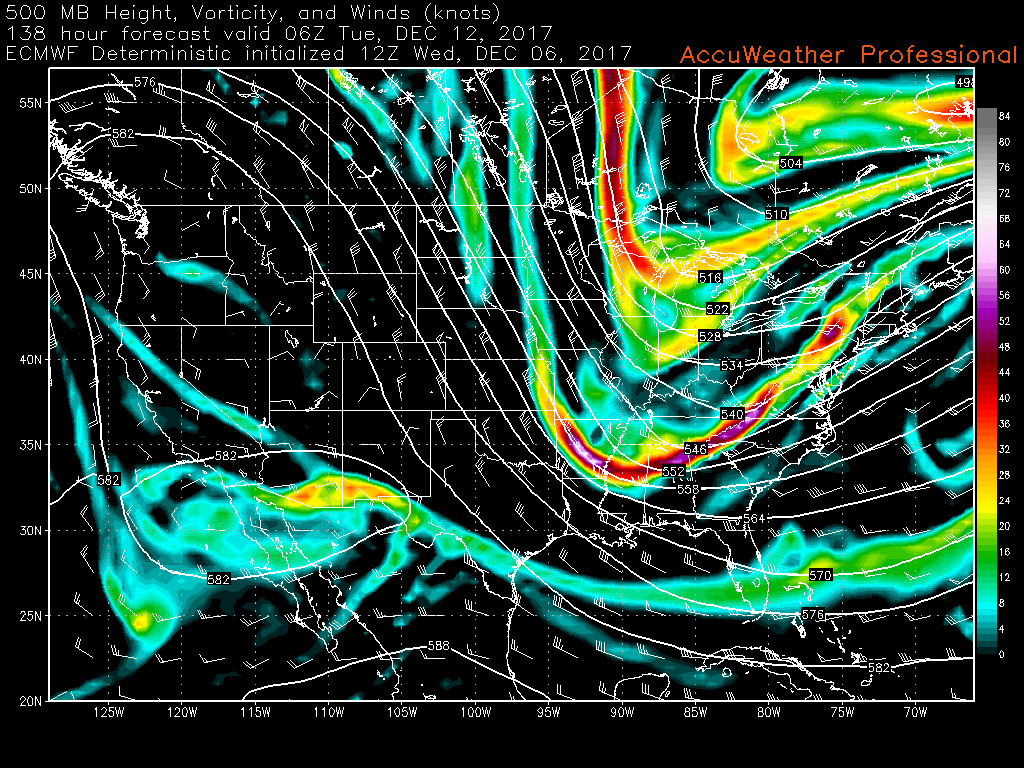
This evenings latest RPM model showing the potential evolution of tomorrows snowstorm across the Mid Atlantic and Northeastern states
We may see a period tomorrow morning where the radar looks to have snow over certain locations, but nothing is actually falling at the surface. This is due to the dry air in the mid to low levels of the atmosphere that causes snow to evaporate before it reaches the ground, but the radar beam still detects it when its far above the ground. This dry air will likely give way once the coastal low begins to intensify off of the Carolinas late tomorrow morning and into the afternoon hours. Expect the snow to start off rather light during the onset, but transition to a more steady rate for the duration of the storm. Portions of eastern New Jersey, southern New York, Long Island and Connecticut may see a few hours of heavy snow, with rates possibly nearing .5″-1″ an hour. Snow should continue through the late afternoon hours and into the evening, before tapering off from southwest to northeast during the early morning hours on Sunday.
As of right now, we are expecting a large swath of accumulating snow totals around the 3-6″ range from southeastern Pennsylvania, through most of New Jersey, and into New England. There may be localized amounts greater than six inches, but this may be confined to southern and eastern portions of the area where heavier snow bands may set up. Road conditions will likely be quite messy tomorrow as the snow is likely to create slippery conditions as it begins to ramp up in intensity. Travel may become hazardous during the afternoon hours during the peak of the storm, so it may be a good day to stay inside and get some work done and stay off the roads unless necessary. We will have updates on this storm after this evenings model runs come in as well as throughout the day tomorrow!
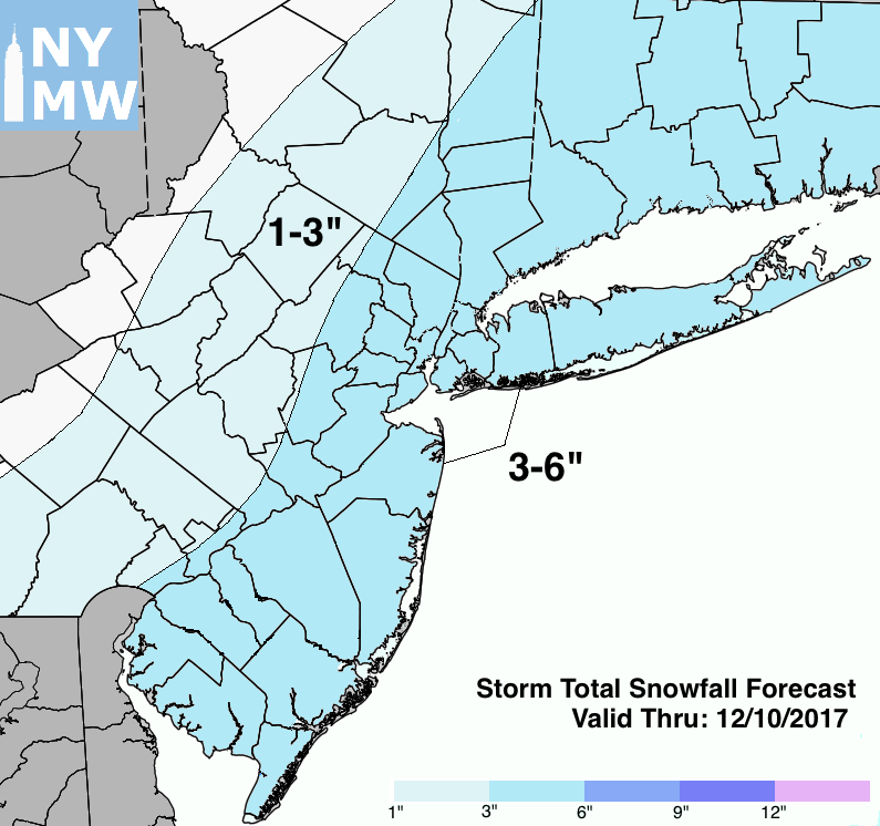
Storm Total Snowfall Forecast Map
Stay tuned for further public updates!. Sign up for our Enterprise Forecasts for more frequent or tailored updates, technical analysis, videos and long range discussion. Also join us at 33andrain forums for free discussion on everything weather-related.
Have a great evening!
-Steve Copertino