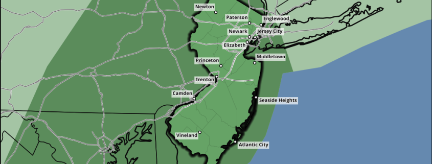
Premium Weekly Outlook 5/16 – 5/22: Moderation to around average temperatures late week

After some cooler temperatures today and then some more unsettled weather for Tuesday and Wednesday, moderating temperatures to near normal with pleasant weather returns late this week. But there is a potential fly in the ointment for a warming trend to continue this weekend as a coastal storm may try to develop. For this weekly outlook, we’ll discuss some technical details and thoughts on the weather through this week and this coming weekend.

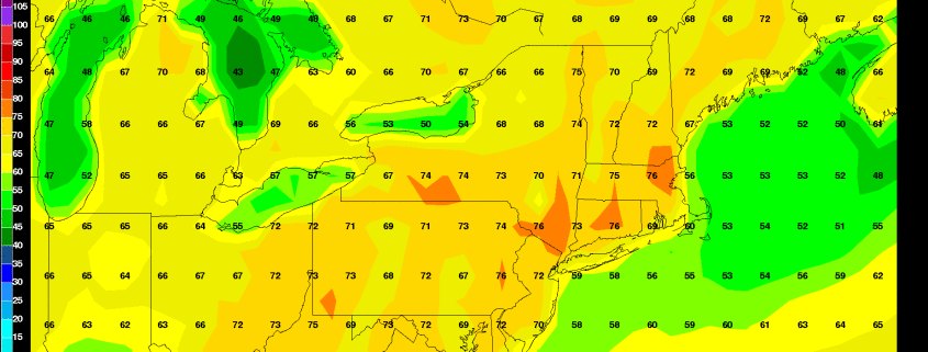
After a very chilly start with temperatures near record lows across the region, temperatures today should be a little warmer than Sunday’s high temperatures with slightly warmer mid-level temperatures, deep mixing and more sunshine in the afternoon. High temperatures should rise into the lower to middle 60s for much of the region today. A tight pressure gradient and winds around 40kts on top of a deep mixed layer will also cause west-northwest winds to gust between 30mph and 40mph again today. The west-northwest winds will also keep sea-breezes from developing this afternoon for coastal locations.

Read more

Sunshine then strong t-storms with gusty winds possible by this evening

Mostly sunny skies will continue into early this afternoon, before  some clouds increase ahead of an approaching cold front and upper-level trough later today. Enough lift and ascent  will likely result in some showers and thunderstorms late this afternoon or this evening. High temperatures will reach the lower to middle 70s away from the coast by early this afternoon. Over Long Island and Connecticut coastal southerly winds will keep high temperatures in the middle to upper 60s.

Read more

Sportscast: Showers Taper off For The Yankees Game Tonight

*Notice: This post was published on May 16, 2016

Hey, Yankee fans it looks like showers will taper off mostly in time for the game tonight. If you are going to the game, you might still want to take an umbrella this evening. Some of the latest guidance shows some showers that could move through the early innings.  Our forecast from our SportsCast page is below.

Read more

Occluded front with showers this afternoon, Strong T-storms possible tomorrow

After a little sunshine to start early this morning, it has turned more dreary and dismal. A warm front south of region, has more clouds to increase and thicken over the area with few scattered showers and drizzle. An occluded frontal boundary will move through region later today, with more showers increasing in coverage this afternoon. Skies will remain mostly cloudy with south to southeast winds, ahead of this boundary and keep temperatures mostly the in the 60s this afternoon.

Heaviest showers are most likely with forcing along the shortwave trough be northwest of the region. Precipitable water values range from 1.50″ to 1.75″. So heavy downpours with localized flooding is possible. Some elevated instability this afternoon with MUCAPE values near 500 J/KG. So there is also chance for some rumbles of thunder. But models are also showing a marine stable layer with CINH, that could cause any thunderstorms to weaken as they approach the coast.

Read more