Wednesday Forecast: Milder air pushes north

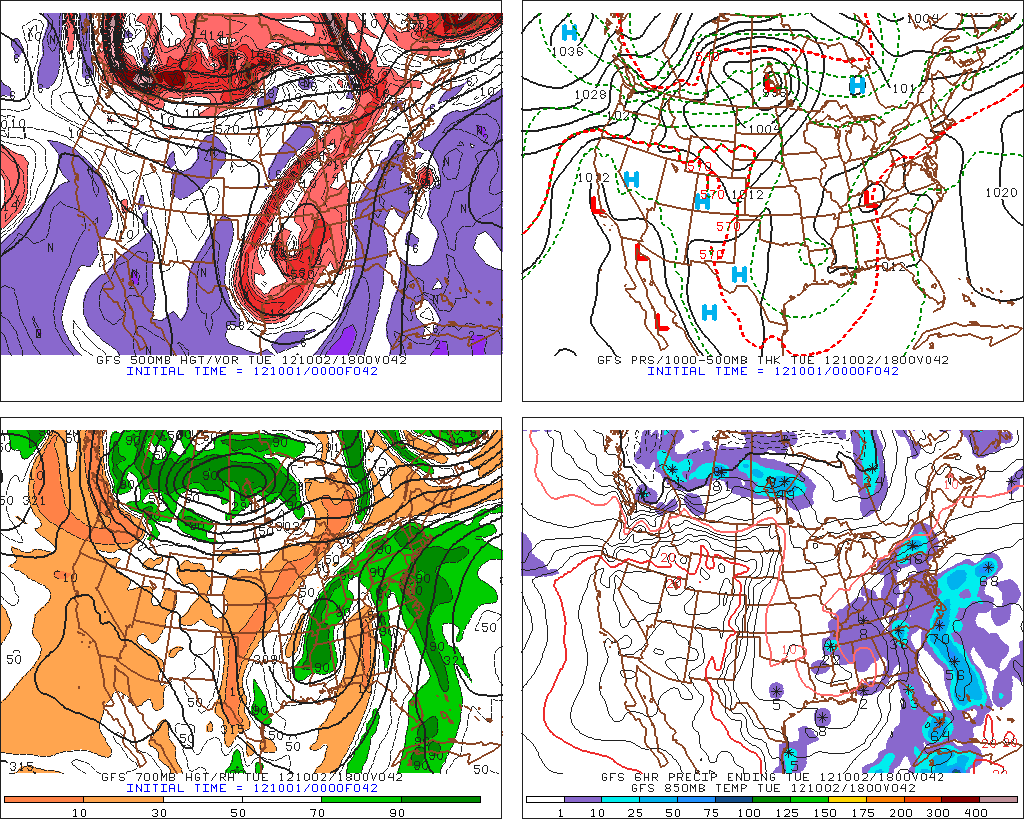
Autumn like weather, including a variety of days featuring cool and brisk temperatures as well as (most recently) damp and raw conditions with rain, has generally been in place throughout the area over the past few weeks. However, Wednesday and Thursday will bring a bit of a reversal towards a more late-summer like pattern, with temperatures increasing into the upper 70’s and humidity rising once again. The culprit? A ridge in the Western Atlantic which is building back west towards the East Coast during the middle of this week. You can blame the clouds and showers on a gradient between that ridge, and a trough off to our west. A strong cold front eventually looms for late this week, which will bring the autumn weather back into the picture (and perhaps well-below normal temperature departures next week). But until then, temperatures averaging above normal..and generally more humid and warm conditions are expected on Wednesday and Thursday. It won’t be a full-fledged summer-like day, though, that’s for sure. Fog and clouds should hang around early on Wednesday to keep temperatures low to start, before they rebound a bit in the afternoon with a chance of showers and storms. Much of the same is possible on Thursday.

Latest Temperatures through the Mid-Atlantic and Northeast courtesy of Rutgers Weather Net. Click to enlarge.

Today (Wednesday): Warmer with high temperatures in the upper 70′s to possibly 80 in some locations by afternoon. Scattered showers and isolated thunderstorms are expected to develop in the late afternoon and continue through the early evening before tapering off with the loss of daytime heating. South winds throughout the day — again, the biggest story will be the warmth and increasing humidity and dew points. Fog and clouds early in the day, we could see some breaks in the clouds by afternoon.

Wednesday Night: Mostly cloudy with a chance of showers continuing through the night. Much warmer with low temperatures in the 60’s throughout most of the area. A bit cooler inland — and a bit warmer in the city. Showers should mostly be isolated to scattered.

Thursday: Warm once again, with high temperatures in the upper 70’s to near 80 in some locations. Clouds are forecast on most models — but there should be some breaks during the day. We’re again looking at a chance of isolated showers during the afternoon hours. However, not a wash out by any means — so enjoy the warm temperatures before they’re gone!

Afternoon Update: Periods of steady rain through early evening

Forecast models struggled with the placement and intensity forecasts of the area of rain this afternoon, which has ended up farther east and closer to New York City than expected last night and even early this morning. The area of showers and steady rain, developing in response to a push of warm and moist air from the south, has moved north and east from the Mid-Atlantic into parts of the Northern Mid-Atlantic and New England this morning and early afternoon. Periods of rain, moderate to heavy at times, are expected through this afternoon as the warm air advection continues across most of the area. Eventually, the showers will become less widespread and far more isolated .. likely by early this evening. However, the poor forecasting by short term models has left some unprepared for the steady rain early this afternoon. Total rain amounts are not expected to be prolific, but the chance of showers as transitioned into more of a “rain likely” forecast for what will be a dreary Tuesday. By later tonight, isolated showers are expected as temperatures will continue to run a bit warmer than they did on Monday. The warm air will begin to make its presence felt on Wednesday and Thursday, when temperatures will rise into the 70’s for highs ahead of a cold front which is expected to approach the area this weekend.

Latest NYC-Area radar imagery courtesy of weather-underground shows the intensity and movement of precipitation over the last hour.

Rest of Today: Showers, and steady rain at times. The steady rain is more likely to occur west of New York City, especially over Western and Northwestern New Jersey, as well as Southeast New York. Here, moderate rain is likely through early this evening. Elsewhere, showers likely through around dinner-time. Bring an umbrella and a sweatshirt if you’re headed out as temperatures remain only in the 60’s this afternoon. East/southeast winds off the water keep things pretty raw throughout the area as well.

Tonight/YanksCast: The Yankees take on the Boston Red Sox in the Bronx tonight at 7:05pm in the second to last game of the season — and an important one at that, with the Yanks leading the AL East by 1 game over Baltimore with 2 to play. The last thing they need is a rainout and a doubleheader on Wednesday. It looks like the steady rain will taper off by late afternoon, but the soggy and damp conditions could create issues if the showers linger into early evening. One thing is for sure – the conditions will be poor for those of you who are attending. Expect a cool east wind, damp conditions, and isolated showers. But the lack of steady rain should prevent a rainout.

Wednesday: Much warmer with high temperatures in the upper 70’s to possibly 80 in some locations by afternoon. Scattered showers and isolated thunderstorms are expected to develop in the late afternoon and continue through the early evening before tapering off with the loss of daytime heating. South winds throughout the day — again, the biggest story will be the warmth.


October Begins With Moderating Temperatures

For those of you who are not ready for true autumn conditions just yet, good news is in store, at least for the next week. The upper level low that had previously been giving our area lots of clouds, showers, and cool temperatures will depart to the north of the area and bring moderating temperatures behind it. Temperatures should generally run several degrees above normal throughout the upcoming work week.

This week should also be drier than the past few days have been, with some days being quite sunny. However, there may still be some showers around from time to time, mainly for Tuesday and Wednesday.

00z GFS Four-Panel Plot, 500mb Top Left, Surface Top Right, 700mb Bottom Left, 850mb Bottom Right, Showing The Warm Weather Pattern, Valid for 2pm Tuesday, October 2nd.

The departing upper level low will help bring clearing conditions for today. Additionally, as one can see from the image, we have a strong 500mb “cut-off” low in the southern states, which is when a storm cuts itself off from the jet stream. This makes a weather pattern slow down, as the jet stream is not moving this particular feature of the pattern. Since the jet stream becomes separate from the storm system, all of the chilly air remains bottled up in Canada. The cut-off low also helps to usher in warm air out ahead of it, as our 500mb heights continue to rise with a southwest flow at that level. There is also a ridge in the Atlantic which helps to provide warmth, but also provides some wind flow from the Ocean — this will all combine to provide warmth with some moisture. Once we move into Tuesday, the disturbance to our southwest will be moving northward, perhaps ushering in a few showers for Tuesday and Wednesday. Fortunately, however, this disturbance will move well to the north of our area by Thursday, providing more sunshine — with enough sunshine, temperatures could approach 80 degrees for much of the Metro region on Thursday and Friday.

(Click “Read More” below to see your Monday, Monday Night, Tuesday, and Tuesday Night forecast, along with a quick preview of next weekend and beyond) 


Read more

PM Update: Unsettled pattern remains in place

Autumn usually brings a trend towards more unsettled weather, with shorter-duration stretches of pleasant and dry weather. This autumn will be no different, but it may just feel like a slightly more dramatic change in the pattern as a result of the longer than normal stretches of dry and pleasant weather which our area en joyed to close out the summer. Regardless of that, the autumn pattern currently in place will offer chances for clouds and showers throughout the day as a result of an upper level low which is meandering near the area. Cooler weather is in place as well, with temperatures remaining in the 60’s and lower 70’s throughout much of the area for highs, and dropping even cooler at night. Showers and an isolated storm are possible on Sunday as the upper level low shifts closer to the area, bringing a mid-level disturbance through in the afternoon and early evening. Monday looks to be a transition day — and then by late Monday into Tuesday, a surge of warmer and more humid air, owing to the amplification of a ridge to our east, will bring more chances of showers and periods of steady rain as we work towards the beginning/middle of next week. All in all, the story continues to be defined by an unsettled weather pattern — with autumn now in full swing.

NAM Model showing the upper level low in the mid levels of the atmosphere near the area this weekend — causing the unsettled weather.

Saturday Night: Cooler night once again, with temps dropping into the lower 50’s inland and near 60 in the metro area (with even some cooler readings possible in the mountains and higher elevations). A chance of sprinkles in some areas, but definitely no steady or heavy rain is expected overnight.

Sunday: A bit warmer than the past few days, with highs rising into the middle and upper 60’s. But showers will become scattered by afternoon, with even a chance of isolated thunderstorms. The showers and storms should wane by evening with the loss of daytime heating. Could see some sun in the morning, but the presence of showers/storms should bring clouds to many areas by afternoon.

Sunday Night: Similar to Saturday Night with temperatures a few degrees cooler throughout most areas. Low temperatures dropping into the 40’s and 50’s throughout the interior and even into the NYC Metro area.

Monday: A break in between disturbances should keep Monday as the most pleasant day of the next few. Temperatures into the lower 70’s throughout most of the area. Clouds should increase throughout the day but the sun will show its face especially in the morning hours.