-2")
Overview
Briefing
Hot and humid conditions will continue through Tuesday. Chances for showers and t-storms will increase as a cold front approaches on Wednesday. More comfortable warmth and humidity is expected late week.
Forecaster’s Discussion
Last Updated: 9:30am Thursday, July 26th 2019 by MP
Near Term (through tonight)
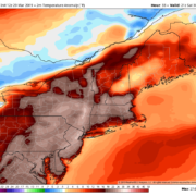
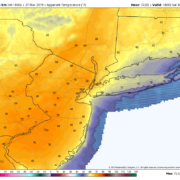
High pressure will provide mostly sunny skies today. 850mb temperatures around 12-13 C with deep mixing and light northwest downslope winds will support high temperatures closer to normal-in the middle 80s throughout much of the region. Humidity will still be relatively low, which will make for another beautiful mid-summer day.
Tonight, will remain mostly clear with light winds. This will result in more radiation cooling. Low temperatures are likely to in the mid 60s many of suburbs and in upper 60s to near 70 degrees in NYC and urban areas. Some of the far northern Interior valleys will likely drop into the upper 50s to lower 60s.
Hello
Showers and clouds stick around, temps briefly warm Saturday
Good evening and happy Friday! During the past twenty four hours we’ve traded cool temps and mostly sunny skies for slightly warmer temperatures with clouds and showers. Conditions look to turn mild Saturday before we begin another switch over to cooler and clear conditions next week!
Gradually improving temperatures into this weekend
Good evening! Unseasonably cool temperatures and calm conditions have continued to remain firmly in place over much of the Northeast. While temperatures look to improve into the weekend, we may have to contend with an approaching cold front later in the forecast period.
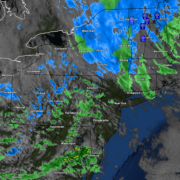
Showers move out, breezy and cool conditions to start the weekend
Good evening and happy Friday! Today has been a transitional day across the Northeast as rain and snow showers continue to shift out of the area. Cool and breezy conditions have now taken over, with periods of light rain/snow showers still possible tonight!