-2")
Overview
Briefing
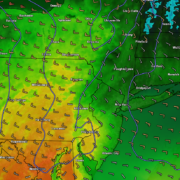
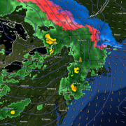
Hot and humid conditions will continue through Tuesday. Chances for showers and t-storms will increase as a cold front approaches on Wednesday. More comfortable warmth and humidity is expected late week.
Forecaster’s Discussion
Last Updated: 9:30am Thursday, July 26th 2019 by MP
Near Term (through tonight)
High pressure will provide mostly sunny skies today. 850mb temperatures around 12-13 C with deep mixing and light northwest downslope winds will support high temperatures closer to normal-in the middle 80s throughout much of the region. Humidity will still be relatively low, which will make for another beautiful mid-summer day.
Tonight, will remain mostly clear with light winds. This will result in more radiation cooling. Low temperatures are likely to in the mid 60s many of suburbs and in upper 60s to near 70 degrees in NYC and urban areas. Some of the far northern Interior valleys will likely drop into the upper 50s to lower 60s.
Hello
Early Spring warmth fades, gradual return to unsettled conditions
Good evening! The wild temperature swings of early Spring look to continue over the next couple of days. A string of weak systems will also impact the region through the week, bringing the threat for some showers and unsettled weather.
Unsettled conditions and temperature swings last into next week
Good evening and happy Friday! Unfortunately the mild and clear conditions that were present just 24 hours ago have quickly faded. A few more rain chances will be possible over the next week with continued temperature swings!
Spring temperature swings continue, close call Wednesday
Good evening! The dreary and unpleasant conditions of the past few days have finally moved out of the region and have since been replaced by sunny, clear skies. Unfortunately, things don’t look to stay that way as more temperature swings and periods of unsettled weather are on the horizon.