-2")
Overview
Briefing
Hot and humid conditions will continue through Tuesday. Chances for showers and t-storms will increase as a cold front approaches on Wednesday. More comfortable warmth and humidity is expected late week.
Forecaster’s Discussion
Last Updated: 9:30am Thursday, July 26th 2019 by MP
Near Term (through tonight)
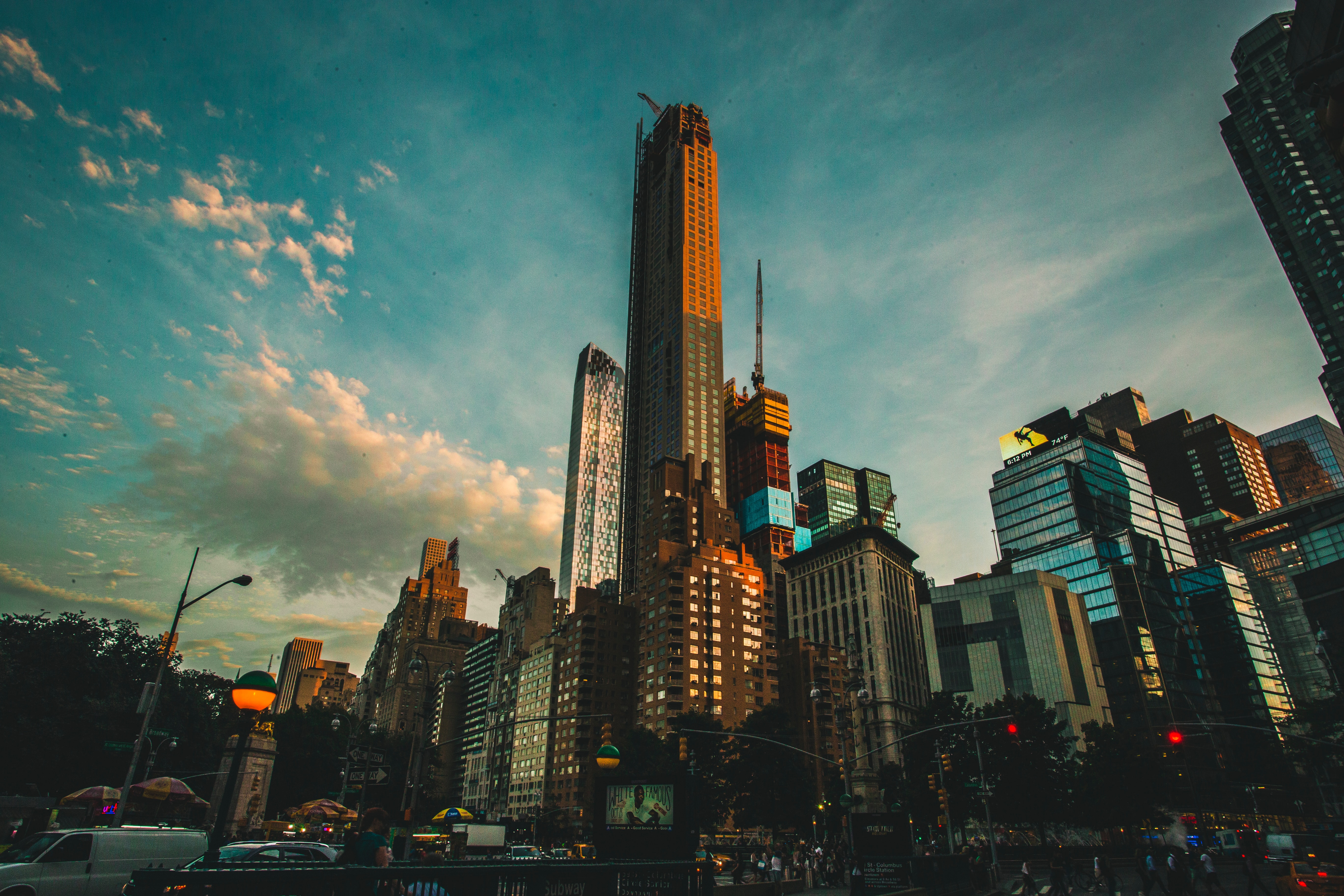
High pressure will provide mostly sunny skies today. 850mb temperatures around 12-13 C with deep mixing and light northwest downslope winds will support high temperatures closer to normal-in the middle 80s throughout much of the region. Humidity will still be relatively low, which will make for another beautiful mid-summer day.
Tonight, will remain mostly clear with light winds. This will result in more radiation cooling. Low temperatures are likely to in the mid 60s many of suburbs and in upper 60s to near 70 degrees in NYC and urban areas. Some of the far northern Interior valleys will likely drop into the upper 50s to lower 60s.
Hello
The Weekender: Unsettled weather likely this weekend
In today’s edition of The Weekender we discuss the weather ahead, plus detail why this is such a crazy time of year for meteorologists.
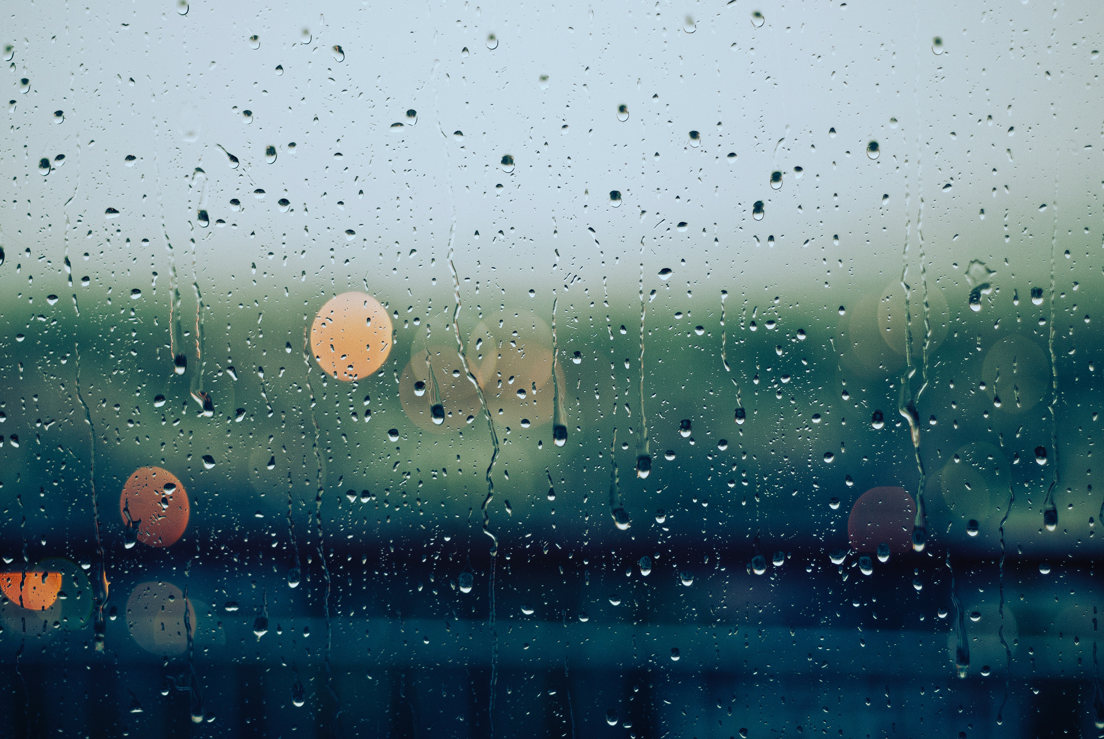
Heavy rain expected today, ALCS Game 4 likely to be rained out
A strong coastal storm will develop later today and tonight, and heavy rainfall is expected throughout the NYC Metro Area. The heavy rainfall will cause travel delays and will result in a slower than usual PM Commute. It is also likely to heavily impact ALCS Game 4, which we are projecting to be canceled.

Fall foliage progressing quickly, peak color not far away in New England
The fall foliage display is becoming increasingly noticeable throughout New England, and peak colors are expected within the next 7 to 10 days. While the outburst of beautiful color is on schedule historically, it’s moving along at a much faster pace than it did in 2018.