Posts

Transition weekend, stormy conditions next week

After strong to severe storms blew through the area on Wednesday evening, Canadian high pressure is back in control on Thursday. Cooler than normal air will slide back into the area over the next few days, with generally pleasant conditions. High temperatures in the 80’s will be more common than the 90’s from earlier in the week, but the lower humidity will make it feel much more comfortable. A transition in the pattern won’t occur until late this weekend into early next week, when unsettled weather will be poised to make a return.

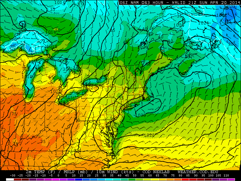
As a mid level disturbance slides eastward through the Great Lakes, actually a part of a larger upper level trough, a warm front will slide northeastward from the Ohio Valley through the Northeast US. This will be the first sign of forthcoming unsettled weather, as increasing temperatures and forcing along the front will aid in the development of storms as early as Sunday morning. Multiple disturbances moving northeastward through the area will provide chances for storms on Sunday — but the main event would come on Monday as a low pressure system shifts through the Northeast US.

GFS model showing disturbances in the mid levels of the atmosphere approaching the area early next week.

GFS model showing disturbances in the mid levels of the atmosphere approaching the area early next week.

Read more

Manhattanhenge returns, cooler air in control

Just before sunset tonight, the sun will line up with Manhattan’s street grid in a marvelous and picturesque alignment known as Manhattanhenge. Crowned by Neil deGrasse Tyson in reference to Stonehenge, the alignment of the sun on Manhattans streets draws thousands of photographers and tourists during the multiple times which it occurs each year. The phenomenon would occur on the Summer and Winter equinoxes if Manhattans grid was aligned perfectly north to south, but instead the grid is tilted by about 30 degrees east — so it occurs on odd days throughout the year.

Tonight, just after 8pm, the sun will set between the tall buildings of New York City — visible if you are facing west. The best views are typically on the major cross-streets of 14th, 23rd, 34th, 42nd and 57th. The sun will set below the horizon at 8:16pm. Today’s Manhattanhenge will only be a half-disk sun — but Friday’s will feature a full disk sunset down the center of the aforementioned east-side streets.

Read more

Onshore flow, cooler through Friday

Cooler than normal weather has been settled into the region for the past few days, after snow and ice on Wednesday morning made for a dramatic entrance. An onshore flow, rooted by east/southeasterly winds off of cooler ocean waters, will continue on Friday bringing temperatures in the 40’s and 50’s throughout the area and the presence of some clouds. Farther inland, over Pennsylvania and much of the Ohio Valley, a warmup is underway as the ocean effects are much more muted. This warmup will head our way by later this weekend into the early next week, but before the cooler/unsettled weather puts up a fight.

To our south this weekend, an upper level low with a tremendous amount of moisture will shift from the Gulf Coast to the Southeast States. Several inches of rain are expected along the Southeast Coast as the low pressure system shifts east. Luckily for our area, the incredible moisture return will remain south of our area and the storm system will skirt out to sea — leaving us without any significant rainfall amounts. But temperatures will remain generally in the 50’s and possibly approach the 60’s as the system begins to pull away.

Onshore flow keeping temperatures cooler than normal this weekend.

Onshore flow keeping temperatures cooler than normal this weekend.

Read more

Major cold front will bring rain, wind and temperature drop

The warm, sunny weather of the past several days is on the way out. Although our area has experienced several cold fronts over the past few weeks, none have come with quite the vigor which Tuesday’s front will. Northwesterly winds behind the front, a strong mid and upper level system, and a fresh supply (seasonally speaking) of Canadian air will all accompany the frontal boundary. Southerly winds continued this morning ahead of the front, with a broad area of heavy rain lingering just off to our west. The winds are expected to pick up as the afternoon draws on.

Along the frontal zone, an impressive thermal gradient will exist later this afternoon. Forecast models indicate the potential for a 25-30 degree temperature drop during the evening. Widespread heavy rain is expected to be accompanied by embedded thunderstorms, which could drop over 1″ of rain throughout a majority of the area. Making matters worse (or more dramatic, depending on how you look at it) is the potential for strong winds, nested just above the surface, to mix down in this heavier precipitation. Forecast models indicate the potential for wind gusts of 30 to 40 miles per hour as the front passes.

A strong cold front will approach the area this afternoon, with a  dramatic temperature gradient.

A strong cold front will approach the area this afternoon, with a dramatic temperature gradient.

Read more