-2")
Beautiful weekend, potential showers and thunderstorms next week
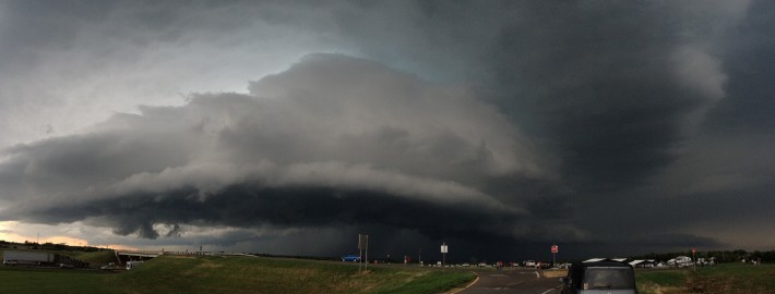
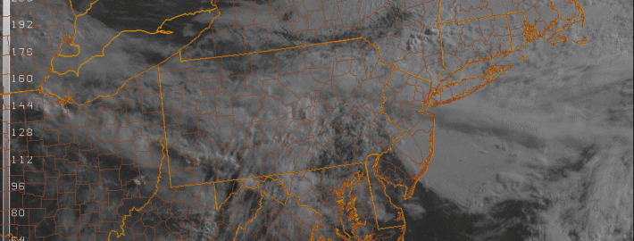
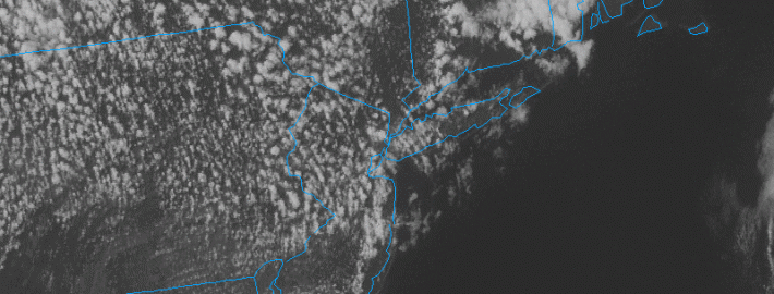
Most of us are currently enjoying a beautiful Friday afternoon, with scattered clouds and sun, and temperatures in the mid to upper 70s, as well as low humidity. Some of these scattered clouds, however, are of the cumulus variety, which are very well illustrated by the current satellite. Given our relatively unstable airmass from an approaching cold front, there is the chance that some of these cumulus clouds will turn into a few scattered showers and thunderstorms for this evening. Fortunately, most of us will still have a couple more hours of dry weather before having to worry about any of this, and a lot of areas may not see any rain at all, but it may be a good idea to have an umbrella if you are going out tonight.
Rest of tonight and Saturday: A cold frontal boundary that is helping to trigger these showers will eventually move through tonight, giving us an area of high pressure, and dropping our temperatures into the mid 50s. It will also dry out the weather even more, as dewpoints will fall into the 40s. For tomorrow, we can expect sunny skies, and very low humidity values, and temperatures in the low to mid 70s. There will be a bit of a stiff northerly breeze at times, so it may be tough to play outdoor basketball or keep a blanket sturdy for a picnic, but overall the weather looks great. A few cumulus clouds may develop in the afternoon, which may make it feel a tad cooler at times during the afternoon.
Saturday night and Sunday: As high pressure continues to build in, winds will lessen, and clouds will continue to clear. Given the already very dry airmass, this will allow temperatures to rapidly fall, via ideal radiational cooling conditions. Temperatures will be falling into the 40s throughout much of the interior; otherwise, lows in the low 50s can be expected. Temperatures should rebound beautifully during the day, however, as a ridge axis builds in from the west, with high temperatures in the upper 70s. The airmass will remain dry — with dewpoints in the low 40s, relative humidity values may fall below 20%. Definitely a 10/10 day. Another cool night can be expected on Sunday night, but not as chilly as Saturday night.