-2")
Tuesday Overview: Unsettled today, severe storms nearby Thursday
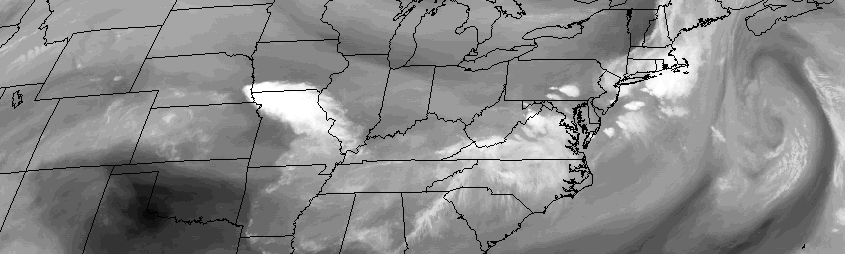
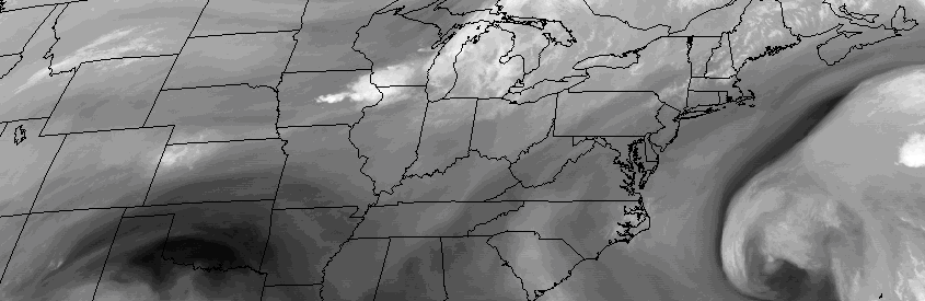
After some morning showers and thunderstorms (a severe thunderstorm warning was actually issued for parts of Long Island and the NJ Shore, with no reports received yet), clearing is anticipated over the next few hours. In fact, the sun is likely to return by mid morning for much of the area. Temperatures will warm into the 80’s once again. A cold front stalled near the area from west to east will spell problems for parts of Southern and Central New Jersey later today.
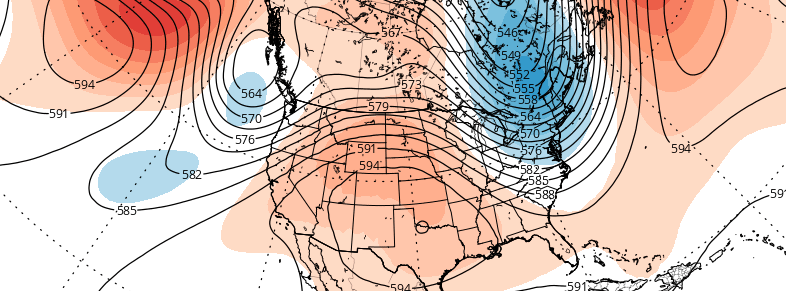
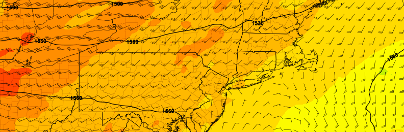
With atmospheric instability building once again, scattered strong and severe thunderstorms may redevelop across those areas later today. These storms are likely to develop near and south of the frontal boundary — well to the southwest of New York City. After a brief respite on Wednesday, another powerful disturbance approaches the area as it swings through the Northeast US. The exact track of the storm system will determine the details, but severe weather is possible from the system — most likely across the Mid Atlantic and parts of South/Western New Jersey once again. Here’s the lowdown on the weather stories today: