Unsettled Weather Today…Stormy Sunday Possible

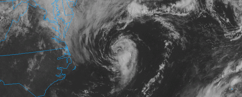
More unsettled weather is likely today. A couple of upper-level disturbances embedded a inside larger trough, will be moving through region today. Skies will remain mostly cloudy with some scattered showers. A few isolated thunderstorms with heavy rainfall are also possible, especially northwest of New York City. Closer to the coast, a more stable marine influence from onshore flow will cause any convection to weaken. A cold front is expected to move through the region early tonight, with more showers and few isolated thunderstorms possible again. Temperatures tonight will drop into the middle to upper 60s.

Read more

2016 Summer Forecast

Over the past several months, our forecasters have monitored several extremely important variables, indices, and the trends in their behavior. We will be utilizing those variables and indices throughout our summer forecast. These variables reflect the atmospheric circulation patterns for certain geographical areas. For example, the AO refers to patterns within the Arctic Circle. The NAO refers to pattern characteristics in the North Atlantic, the PNA in the western part of North America, the PDO in the Pacific Ocean, and the EPO in the Northern and Eastern Pacific Ocean.

Typically, negative AO, NAO and EPO values correlate to enhanced high latitude blocking and high pressure to our north while lower pressure areas and troughs usually form underneath that high latitude ridging in the middle latitudes. In contrast, positive AO, NAO and EPO values generally yield lower pressure and less blocking to our north, while higher pressure and more ridging tends to build into the middle latitudes.

Read more