Saturday Overview: Cooler Today with More Showers/T-storms Possible Later

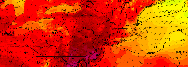
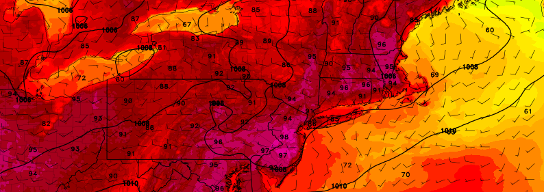
For those who were sick of the heat, today will be a gift: A cooler, less humid day. You can thank a backdoor cold front that has pushed into Delaware River Valley this morning. Mostly cloudy skies and onshore winds are anticipated for much of the area for the remainder of the day. This will keep temperatures from rising out out of the lower to middle 70s. Low pressure tracking north of region will try to push this front back east as a warm front this afternoon. This could cause skies to clear for sunshine and temperatures to rise into the 80sover Western and Central parts of New Jersey, later this afternoon. However a secondary low will developing south of region this evening, will likely keep this frontal boundary moving through the rest of region today.

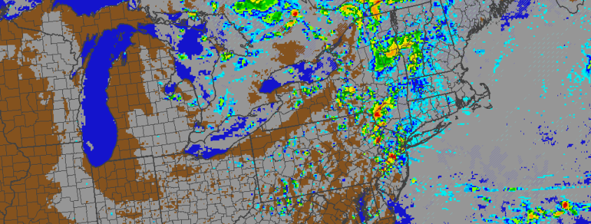
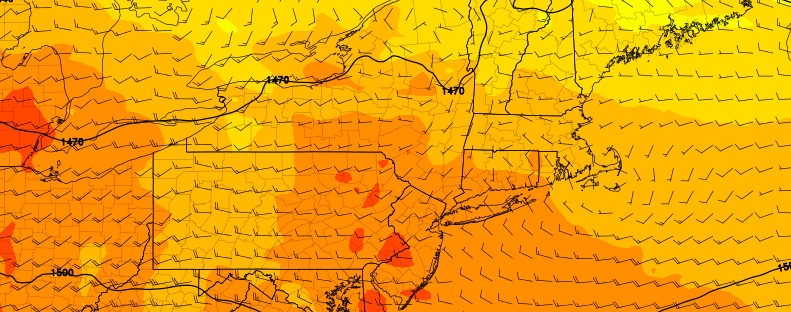
Some scattered showers and thunderstorms are possible, with this frontal boundary, mainly during the late afternoon and evening hours. SPC has issued marginal and slight risks for western parts of region today. Stronger shear with an associated upper-level trough, will support more organized convection to develop over Eastern Pennsylvania . However, instability will be lacking over much of the region today. The best chance for strong or severe thunderstorms, is over Western or Central parts of New Jersey. This is where surface-based instability could increase with some clearing possible later this afternoon. While a more stable marine layer, will more likely cause thunderstorms to weaken as they move further east over rest of region. Some heavy rainfall and lightning is still possible. Some other highlights for this weekend:

Read more

Friday Overview: Heat, humidity, more thunderstorms expected

The heat and humidity is back this morning, and it’s expected to stick around through the day. Temperatures will rise from the 70’s this morning into the 90’s once again early this afternoon. The combination of the heat and humidity will push heat index values into the middle 90’s once again throughout the area, despite temperatures remaining a bit cooler (as usual) near the shore.

The main story today will be the development of a seabreeze front, which is part of a larger “backdoor” cold front pushing toward our area from the Northeast. This boundary will serve as a convergence point for moisture, heat, and humidity — as well as atmospheric instability and lift for thunderstorms. An approaching disturbance in the atmosphere is likely to aid in storm development this afternoon and evening, some of which could be strong — especially over New Jersey. Some other highlights through the weekend:

Read more

Thursday Overview: Hot and humid, a few strong storms

Hot and humid weather will continue today, with heat index values expected to again rise into the mid to upper 90’s by the late morning and afternoon hours. The temperatures will again be hot, but the bigger story by this afternoon and evening will be the dew points, which are expected to rise into the 70’s. The combination will lead to heat index values higher than yesterday. The air will feel quite oppressive as well, especially as the afternoon draws on into the evening.

Read more

Building ridge will bring heat, severe wx chances through July

Within a pattern which has been well discussed for a week or more, changes are afoot during the middle to latter part of this week. The troughing and cooler air, which had become a mainstay over the Northeast US over the past several weeks, will be replaced by increased atmospheric ridging. Warmer air and heat, with temperatures over 90 F, is expected to push into the area by the middle part of this week, and last through the weekend.

This airmass will be marked by mid level temperatures warming up quite dramatically. Temperatures at the 850mb level, or 5000 feet above the ground, will warm to 20 C or above – often times the “demarcation line” for a heatwave in this part of the country. On both Wednesday and Thursday, 850mb temperatures will approach or exceed this 20 C threshold over parts of the area, and not surprisingly forecast models have indicated temperatures in the mid 90’s on both days.

Read more