Wednesday Overview: Less humid, more stable air is here

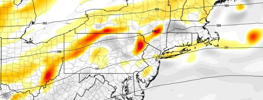
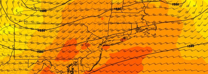
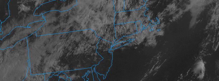
At last, relief from the oppressive temperatures and dew points has arrived. A cold front, which passed through the area early on Wednesday morning (not without some fanfare — with widespread lightning and torrential rain) will be the first in a sequence of events marking the end of the ridiculous humidity. While temperatures will reach near 90 once again on Wednesday, dew points will drop as the day goes on, owing to west-northwesterly winds. This will keep the airmass feeling gradually more comfortable than the days prior.

Much of the same is anticipated on Thursday as the airmass becomes even more stable, and the large tropical ridge is pushed back southward nearer to its rightful place. Dew points will fall back into the lower 60’s — so while temperatures are still expected to reach into the upper 80’s, the airmass will again feel much more comfortable. Comfortable weather is expected to continue through the weekend, although a few afternoon storms will be possible on both Saturday and Sunday. We’ve included some weather highlights below for the next several days:

  • The oppressive heat and humidity is on its way out, as more stable air pushes toward the area this afternoon.
  • Temperatures will still reach near 90 F but lower dew points will make the airmass feel much more comfortable.
  • A few scattered storms are still possible during the afternoon this weekend, but no widespread threat is anticipated.

Analysis: Severe weather possible Tuesday

An unusually organized area of low pressure, and an associated mid level disturbance, is expected to track through the Northeast states on Tuesday into early Wednesday morning. Riding on the periphery of a large mid and upper level ridge, this disturbance will gain extra energy along a thermal and height gradient which exists from the Great Lakes into the Northeast states. The low pressure center, at the surface, is expected to track from the Great Lakes into Central and Northern New England.

The track of the low pressure center will, at the surface, push a warm front northward through the Mid Atlantic states from late Monday Night into Tuesday morning. This warm front is likely to push through New Jersey to a position near Northeast New Jersey, New York City, and Long Island by daybreak on Tuesday.

Read more

Weekly Outlook: Heat continues, storms Tuesday

While the ridiculous, oppressive heat of this weekend is in the past, above normal temperatures and heat will continue during the upcoming week. Heat Index values will again approach the middle to upper 90’s throughout the area on Monday and Tuesday afternoon. A low pressure system moving north of the area is likely to create some more unsettled weather on Tuesday, with the potential for strong and severe thunderstorms in parts of the area.

Read more

Weekend Overview: Excessive Heat & Scattered T-Storms for Saturday and Sunday

Oppressive heat and humidity will continue through Sunday with a strong upper-level ridge over region.  Temperatures are already approaching the upper 80s or lower 90s late this morning. High temperatures will be middle to upper 90s both Saturday and Sunday, over much of the region. Heat index values will be between 105F to 110F this afternoon. Therefore the National Weather Service now has excessive heat warnings for most of the region through Sunday. Take precautions to stay well-hydrated, while outdoors this weekend.

Some scattered showers and thunderstorms are possible during the afternoon and evening hours today and Sunday. A lack of deep layer shear and large scale forcing will likely inhibit more organized or widespread severe weather threats in the region. But with extreme levels of instability and moisture in the atmosphere, a few thunderstorms could become strong or severe with gusty winds, torrential downpours and frequent cloud to ground lightning. Some other highlights.

Read more