-2")
Rain and wind likely Sunday, winter arrives next week
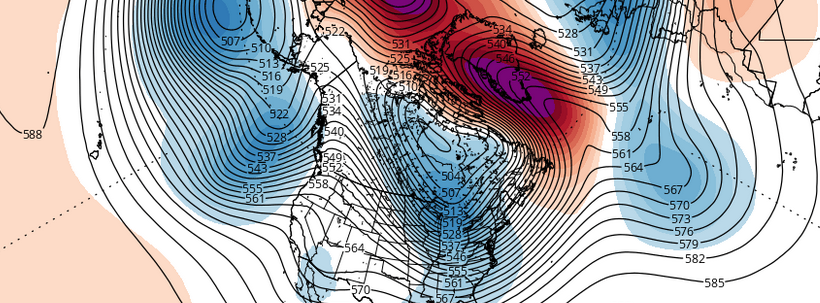
High pressure over Eastern Quebec will cause cold air damming over the region tonight, with cold air funneling toward our area. A mid level shortwave and weak warm front are on their way by Saturday morning, however, with the first light round of precipitation ahead of a significant storm system. As this disturbance approaches our area, some very light snow, sleet, and freezing rain is expected across the interior and higher elevations. Temperatures there will be hovering below or near freezing — causing the potential for slick roads.
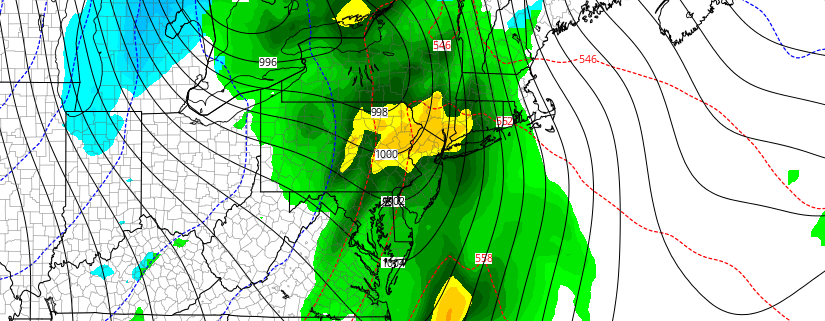
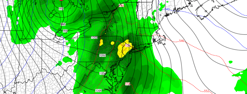
A deepening storm tracking over the Eastern Great Lakes will send a stronger warm front — and then a cold front — through the region late Saturday night and Sunday. Lifting will be aided by a strengthening southeasterly low-level jet and precipitable water values between 1.00 to 1.50″. This will cause periods of rain starting late Saturday night, becoming heavy at times during Sunday morning and early afternoon. An isolated thunderstorm can’t be ruled with elevated instability.