PM Zone Update: Multi-day winter weather in New England

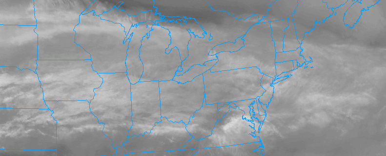
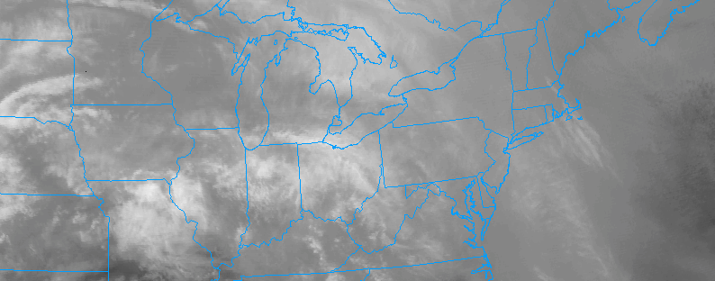
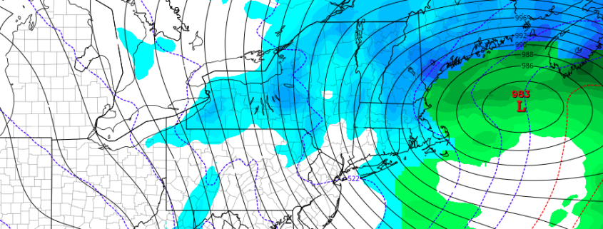
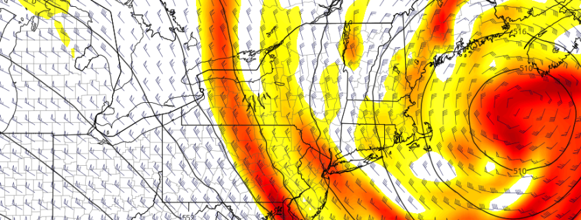
A multi-day (and multi-disturbance) winter weather event will unfold across New England over the next few days, with central and northern parts of New England in line for several inches or more of snowfall. Multiple disturbances in the atmosphere will traverse from the Great Lakes and Ohio Valley into the Northeast, with coastal low pressure systems forming in multiple fashions. The first moves from our southwest on Saturday evening into Sunday morning, and has trend more significantly in terms of wintry precipitation. Much of this can be attributed to the snowpack in place across the interior — keeping low level cold temperatures locked in more effectively.

Warm air both in the mid levels and at the surface will be moving north from the Mid Atlantic states as Sunday morning approaches. But moisture and lift, effective in developing precipitation, will move northward as well, allowing wintry precipitation to break out across the region. Across Northeastern PA, Northern NJ, NYC and LI, precipitation may begin as snow and sleet – remaining a wintry mix for a few hours before a transition to rain occurs. The wintry mix will occur longer across the interior and higher elevations of NJ, SE NY, and CT where low level cold air will remain more stout. Here, freezing rain and sleet are possible for a more prolonged period of time.

Read more

AM All Zones Update: Snow and ice threat for the interior Sunday

Clouds will be around much of the day, as a warm front lifts through region. But some breaks of sunshine are likely as drier air moves in to the mid-levels of the atmosphere. A southwest flow developing near the surface today will also help temperatures warm into lower to middle 40s. However, weather conditions will take a turn for the worst again late tonight and tomorrow morning, as a storm system approaches the region. Clouds will increase again overnight, thanks to some warm-air advection aloft, and some light precipitation could break out sometime closer to daybreak.

Read more

PM Zones (N NJ, NYC, CT): Light snow likely tonight

Calm and pleasant weather conditions dominated the day today, with breezy conditions from earlier this morning tapering off a bit as the day went on. The weather will remain for the next few hours, but sun will become filtered by high and eventually mid clouds near sunset. The weather will become unsettled again later today and tonight as a disturbance and associated low pressure area approach.

This low pressure area will be driving from Southaest Canada into New England, eventually to a position off the coast of New England. The storm system is not deep or amplified, and will remain very progressive. But bands of snow are likely to move from New York State through Southern New England tonight, possibly clipping parts of Northern New Jersey, NYC, and Long Island.

Read more

Mid-AM All Zones: Multiple wintry events in New England

An active pattern, which has existed across the Eastern United States for the better part of the past 3 months, will kick into even higher gear later this week into the early part of next week, as multiple disturbances drive southeastwards from Canada into New England. These disturbances in the mid and upper levels of the atmosphere will aid in the development of surface low pressure systems, first moving through Southeast Canada and then redeveloping off the coast of New England.

Exactly where and when these surface low pressure systems develop will be the critical component to wintry weather potential in Southern New England — including parts of Central and Northern Connecticut from Friday Night into Saturday morning and again from Sunday Night into Monday morning.

Read more