PM Zone Update: Blizzard Watches issued ahead of significant storm

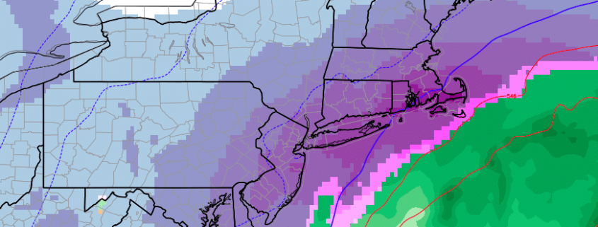
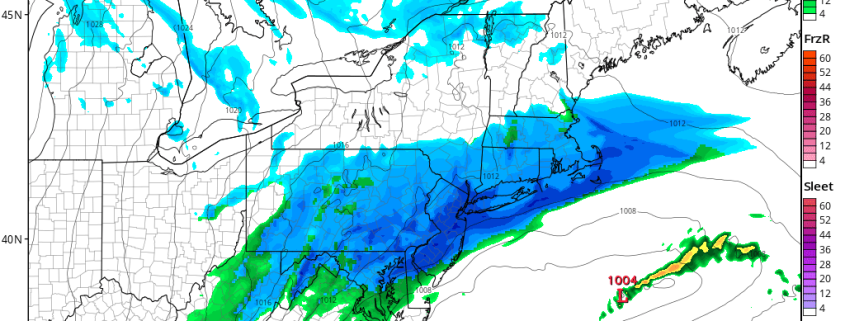
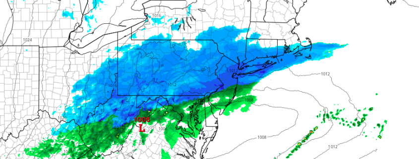
Confidence continues to increase on the development of a significant snowstorm early next week throughout all of our zones. As mentioned in detail over the past several days, two disturbances will drive southward into the Central United States late this weekend and early next week, in response to the development of a blocking ridge in the higher latitudes. These disturbances will interact and phase over the Mississippi River Valley and parts of the Eastern US early next week.

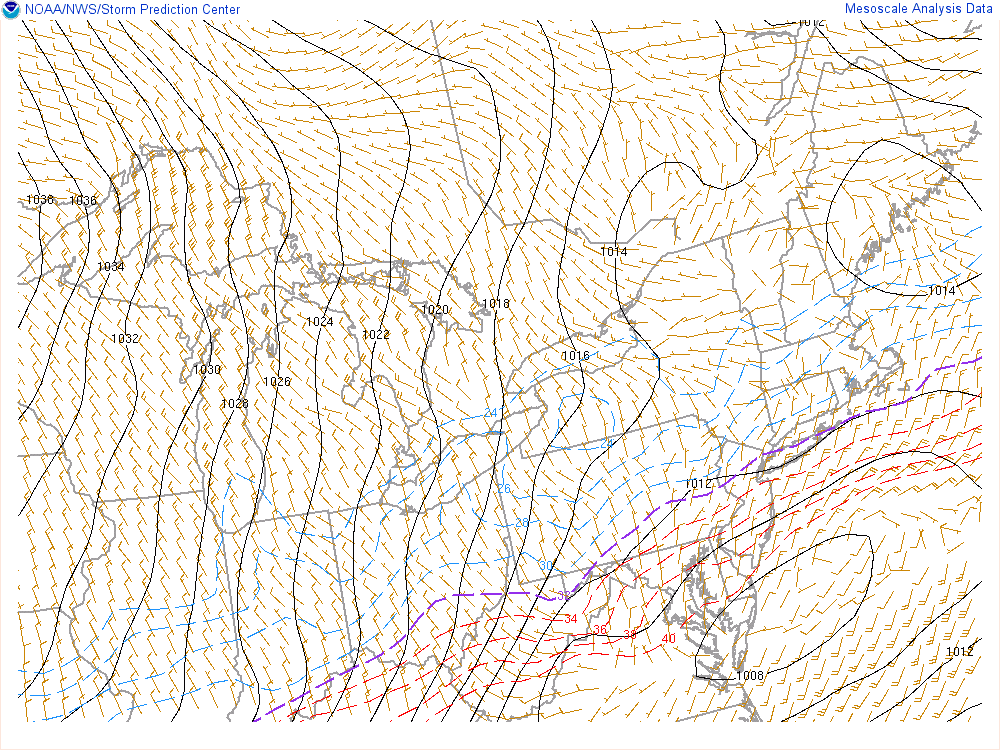
As the two disturbances interact, a strong low pressure system will develop across the Southeast US coast, shifting northwards up the Eastern Seaboard. The exact track of the system is still yet to be determined, and will greatly impact the ultimate impacts that the storm brings our area. However, the envelope of possible solutions continues to tighten — with most solutions impacting all of our zones at least moderate to significantly.

Read more

Increasing potential for significant snow next week

Four months have gone by since we first began tracking the potential for snow and cold in November. The best atmospheric weather pattern for significant snow chose not to arrive until the middle part of March. Yet, here we are, tracking the potential for a tremendous storm system to impact the Northeast United States early next week. Forecast models have begun to hone in on the development of a strong low pressure system off the coast, with tons of moisture and cold air available.

A few weeks ago, our forecasters were tipped off to this potential by the development of high latitude blocking. This is a critical component to any forecast, especially for cold and snow, and especially in the Northeast United States. See, these high latitude blocks are extremely disruptive to the atmospheric flow. Essentially, ridges of high pressure develop way up in the polar and arctic regions and “Block” the progression of systems through the region. They also dislodge cold air, which normally would be bottled up in the higher latitudes, further south into Canada and sometimes New England.

Read more

3/10 Early AM All Zones Update: Light to Moderate Snowfall Today

A wave of low pressure moving east from the Delmarva region, will bring a light to moderate snowfall to much of the region. Over the higher elevations over Northwest NJ and parts of Lower Hudson Valley snow has been falling over past few hours and surface temperatures have dropped to near freezing. So some accumulation is likely occurring on colder surfaces.

Closer to the coast, boundary layer temperatures may initially support some rain or wintry mix at the start, But it should quickly change over to snow, as lower dewpoints and wet-bulb temperatures, will support more cooling down to surface. Surface temperatures should fall down into low to mid 30s everywhere over by 9am.

Read more

Mid AM Zone Update: Impactful snow likely Friday

A few weeks ago we discussed the likelihood that winter would return in the early to middle part of the month of March. Well, here we are! High latitude blocking developed several days ago and is continuing to strengthen this week, moving westward from Greenland into Canada. This blocking is dislodging cold air, which otherwise would be bottled up in the Arctic region, further south.

As this occurs, a very notable temperature gradient will develop from the eastern Ohio Valley into the Northeast states. Forecast models agree that a disturbance in the atmosphere’s mid levels will shift through the aforementioned area from late Thursday Night into Friday, with a low pressure system developing along the thermal gradient and moving from the Mid Atlantic states off the coast to a position south of Long Island.

Read more