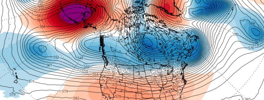
3/06 AM All Zones: Warmer, Unsettled till Wednesday, Then More Cold & Snow Potential

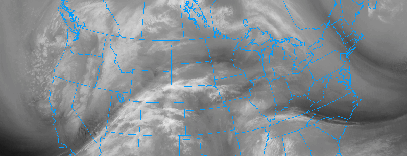
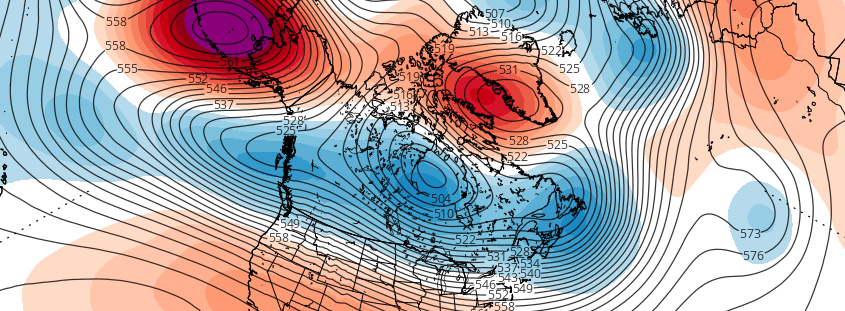
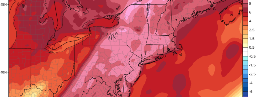
Happy Monday! A moderating trend will begin over the next few days as mid-level ridging builds in from the west. Accordingly, the weather will also turn more unsettled, as a few frontal boundaries move through the region. Sunshine this morning will be followed by increasing clouds as warm-air advection begins to increase. Temperatures should still rise well into the 40s, with a light southerly flow today.

Mostly cloudy skies are expected throughout the Northeast states from tonight through Tuesday, as a warm front slowly moves through from southwest to northeast. Some spotty showers and drizzle could break out especially after midnight, as the low-level moisture increases from southeast winds overnight. Cloud cover will keep temperatures in the  30s overnight.

Read more

3.5 Afternoon All Zones: Cold now, active pattern ahead

Very cold weather settled into the area on Saturday, with temperatures running well below normal throughout much of the Northeast United States. A deep trough swinging through New England brought arctic air into the area, with brisk northwest winds making the air feel colder than it already was. This cold is meandering across the region today, and will gradually move away over the next few days.

The warmup will continue with moderating temperatures as the midweek period approaches. Temperatures will rise near and then above normal by the first two days of the week. A strong storm system developing over the Central United States is expected to shift into the Great Lakes, drawing a notable southwest flow towards the area in the mid and lower levels of the atmosphere. Another severe weather event is expected to unfold across the Central US as a cold front approaches the Ohio Valley and eventually Northeast.

Read more

Mid March may offer more wintry potential in Northeast

A happy Saturday afternoon to you all! We enjoy the weekends particularly because we often can take some time to dive into the details of more complicated discussion. In this case, we don’t have to look much further than the medium range weather pattern to find a complicated, convoluted evolution in the atmosphere. Over the next few weeks, the pattern will be changing quite dramatically in the higher latitudes — or the latitudes near the arctic and polar regions.

Blocking ridges of high pressure, more affectionately known as “blocks”, are forecast by multiple models and ensembles to develop — both on the Pacific and the Atlantic sides. The Atlantic blocking, from Greenland into Northern Canada, is the most significant for residents of the Northeast United States. Exactly how this blocking develops will determine when and where opportunities for cold and snow will arise.

Read more

3/04 All Zones Update: Arctic Airmass Remains This Weekend, Warming Trend Early Next Week

Happy Saturday! Very cold and blustery conditions are in store for today. Sunshine will be mixing with some clouds  as some instability remains in the atmosphere. But it should remain dry for most of the region with maybe a few spotty flurries over the Interior. Temperatures will only rise into the upper 20s or lower 30s this afternoon. A tight pressure gradient between high pressure north of the Great Lakes and a deepening storm near New Foundland will also cause northwest winds to occasionally gust today between 30-40mph, especially by this afternoon. This will result in windchills in the single digits and teens throughout the day.

Read more