3/16 All Zones Noon Update/Snow Map: More Snow Possible This Weekend

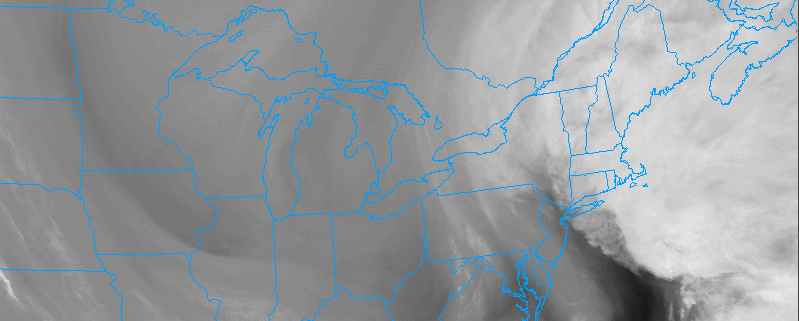
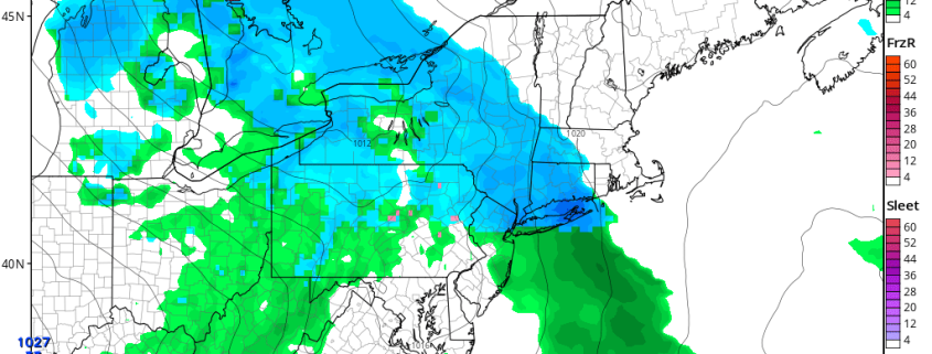
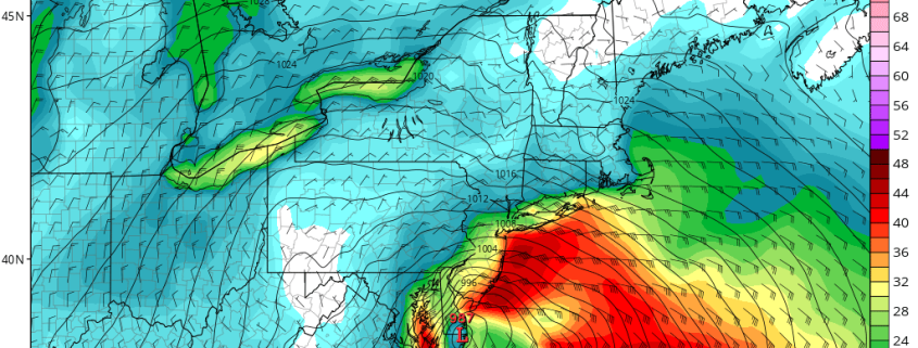
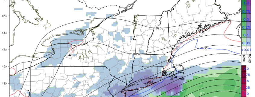
Winter refuses to give up it’s hold on the Northeast United States. Cold and dry weather will continue over the next few days, as the area continues to sit underneath the influence of a large upper-level low centered near New Brunswick, Canada. Another storm system will likely impact the region from early Saturday onward. Precipitation from Saturday evening into Saturday will increase in coverage and intensity, with the possibility of snowfall accumulations throughout the area by Sunday morning.

Read more

Where did New York City’s blizzard go?

Let’s cut straight to the point here: Our forecast snowfall amounts in and around New York City were too high. Our snowfall forecast, which by the night before the storm had settled into the 15-18″ range for the metro area, ended up too high by 8-10″, which as you may assume is a much larger spread than we are comfortable with. While the forecast did verify very nicely in many other areas, the I-95 corridor was an area where verification was specifically poor.

Before starting an organized mob with pitchforks and torches to storm your local meteorological office, we’re going to attempt to provide some perspective today. The reality of it is, these kinds of blown forecasts are difficult for us all. The general public — and our clients — planned ahead based on our forecast amounts, and frustration was very high when they didn’t work out. Accordingly, our team worked tirelessly to get the forecast right, spending countless hours pouring over data and pinpointing intricate processes, and getting it wrong was a frustrating and humbling experience.

Read more

3/15 All Zones Noon Update: Snow Showers Today…Wintry Mix Possible Friday Night into Saturday

After the big winter storm and Nor’easter yesterday, that brought 1 to 2 feet of snow to Interior, and more wintry mix to the coast, some what calmer weather returns for few days. Deep surface low pressure will continue to move north into Southeast Canada. Behind it are drier northwesterly winds, which will lead to clouds mixing with sunshine this afternoon withcold and blustery conditions. High temperatures this afternoon will reach into the upper 20s to lower 30s for most of the region.

Read more

3/13 Evening Zones Update: Blizzard with High Winds and Coastal Flooding Tuesday

While many people focused on blizzard with very heavy snowfall, there will other important hazards that come with this storm. The blizzard will also be a major Nor’easter with strong winds, especially closer to the coast, tomorrow morning and early afternoon. There will be tight thermal gradient between deep low off Delmarva coast and high over Southeast Canada. This will  will east to northeast winds sustained at least between 20-30 mph with frequent gusts up to 40 mph over much of the region. But there potential for even much higher gusts with strong easterly 850mb-950mb jet moving through the region.

Read more