-2")
Most of the Rain Will Stay South; Some Locally Heavy Rain Still Possible
Good afternoon, everyone! We hope you are enjoying your Friday. Some isolated thunderstorms have developed across the area — particularly across Long Island — where a seabreeze converged with prevailing northeast winds, thus leading to convergence and lift. Some heavy downpours were had with these storms. But with very little wind shear, they rained themselves out and weakened. A few more isolated showers and thunderstorms are still possible across the region for the rest of the afternoon and tonight with subtle boundaries and sheared out vorticity ahead of the main shortwave in the Mid Atlantic, but nothing is expected to be particularly noteworthy.
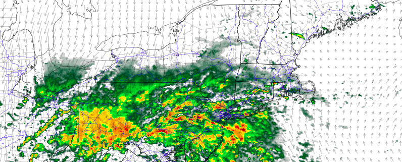
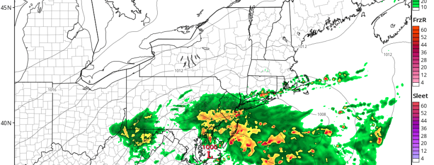
Currently, the Mid-Atlantic is seeing flooding rains, with frontal forcing, very high dewpoints, training thunderstorm cells, moisture convergence, and a dynamic shortwave all congealing in that area. Rainfall amounts have been 3″+ in one hour in many locations, as a truly unique combination of synoptic forcing and deep, moist convection hits the area. If this shortwave were able to turn northward, a lot of this activity could have hit NYC as well, as some model guidance as recently as yesterday was showing 5″+ of rain for NYC.