Active pattern continues, impactful late week storm

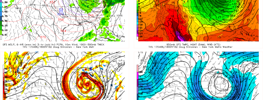
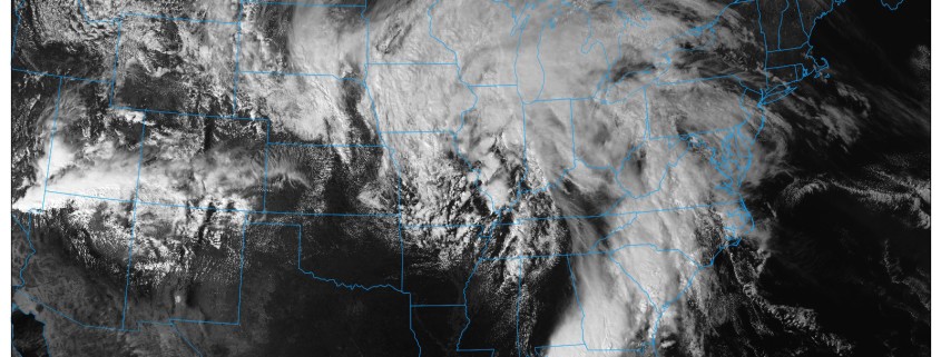
Happy Monday! Amongst other things, Monday means it’s time for our public post, in which we detail the upcoming weather pattern throughout the country and how we expect it to evolve. The past few public posts have honed in on the development of a very active weather pattern throughout the country, and this will be no different. Multiple storm systems are traversing the United States this week and will each produce their fair share of impactful weather.

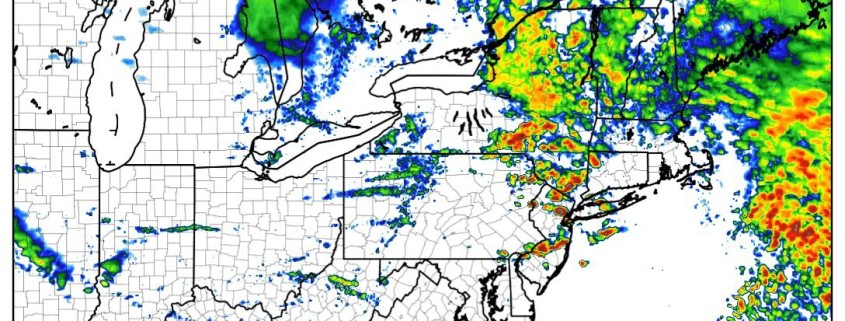
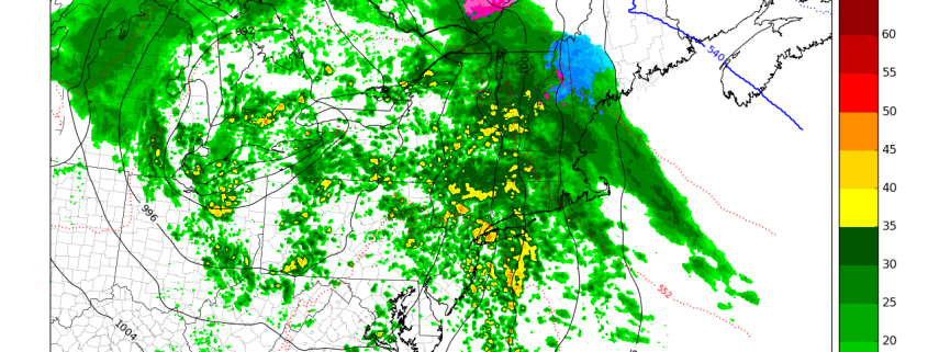
The first is already occurring, as severe weather and unsettled conditions spread from the South/Central United States into the Southeast states today. This very same storm system will spread unsettled weather into the Eastern United States and Northeast on Tuesday, bringing periods of rain with it – and the outside potential for thunder in some areas as well.

Read more

4/03 All Zones AM Update: Heavy Rain, T-Storm, Flooding Potential Late Tonight and Tuesday

Happy Monday! Pleasant weather continues today as high pressure slides offshore this afternoon. Some mid and high level clouds will make their presence known as the day goes on, but sunshine will filter through the clouds until at least the late afternoon hours. This will help temperatures rise into the lower and middle 60s over much of NJ, NYC and even parts of the interior.  A light southeast wind may keep high temperatures in the mid and upper 50s closer to the shores, including Long Island.

Read more

4/02 All Zones PM Update: Two Heavy Rainfall Events Likely This Week

Good evening, everyone! Just an quick update on forecast for this upcoming week. More pleasant weather is store for tonight and tomorrow with high pressure still in control. But more inclement and potentially hazardous weather is on the way by late  Monday night! Skies likely clear to partly cloudy tonight with some high clouds streaming into region form the northwest. Overnight low low temperatures will be mid-upper 30s in many of the suburbs to lower 40s in NYC and other urban areas. Some of Interior valley and Pine barrens may radiate well tonight, dropping into upper 20s to lower 30s.

Read more

4/02 All Zones AM Update: Pleasant Weather Today, More Rain Late Monday night into Tuesday

Happy Sunday! Finally again more sunshine and blue skies has returned! High pressure will be in control through today and Monday with more pleasant, warmer and drier weather. But the pattern continues to be active. Another storm system which will is causing some severe weather over Deep South will head our away for late Monday night and Tuesday with more heavy rainfall likely for the local region.

Read more