Amplified pattern will eventually bring cool air, storm risks to East

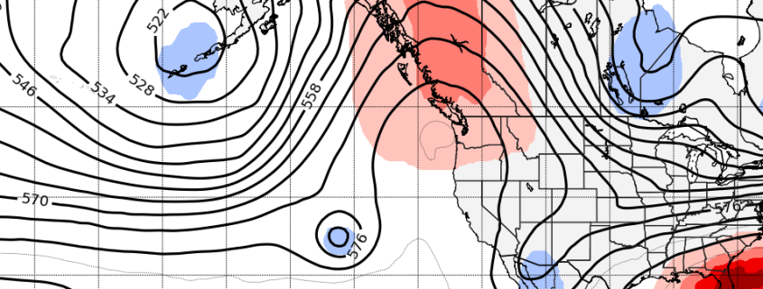
The North Pacific Jet has been a real bear of a forecast over the past few weeks. Model guidance has struggled with tropical forcing and the effects of re-curving typhoons (just to name a few things), and the results haven’t been pretty – we have seen a few shots of colder air modeled in the medium term simply vanish as they approach.

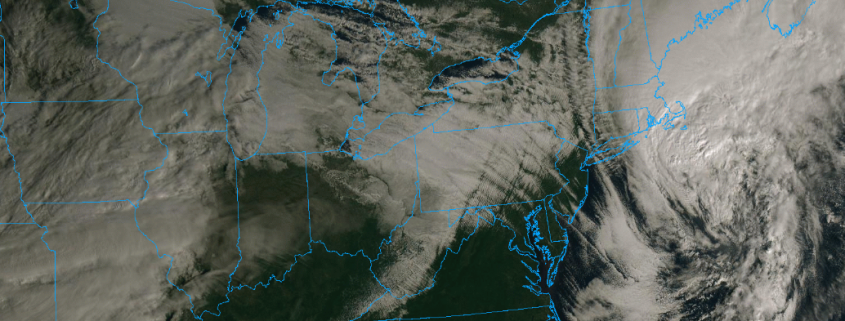
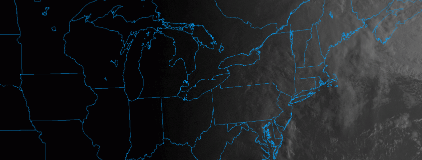
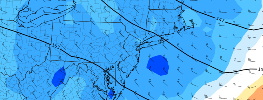
As you may be aware if you’ve stepped outside in the Northeast these past few days, it finally arrived. The pattern in the North Pacific Ocean, and hemispherically, is expected to change further over the next week or two. These changes will support continued amplification of the North Pacific jet stream, and the possibility of enhanced storminess in the Central and Eastern United States.

Read more

NYC Area Forecast: Autumn air arrives this weekend

The remnants of Hurricane Michael brought plenty of rainfall to parts of the area overnight Thursday into Friday morning, with bands rotating onshore and producing localized flooding. This was especially true over parts of Southeastern New Jersey, where upwards of 4″ of rainfall was observed in some locations.

The reality of the situation is that it could have been much worse in our area. Michael was pushed seaward by an incoming cold front, and the pattern was slightly more progressive. If not for this, we could be dealing with a prolonged heavy rainfall event and widespread flooding concerns. Instead, Autumn like weather is expected to shift into the area this weekend.

Read more

NYC Area Forecast: Impacts from Michael today with rain, storms

Moisture from the remnants of Hurricane Michael will stream northward over the next several hours, and its interaction with a frontal boundary in the Northeast will prove sufficient to develop numerous showers and thunderstorms. A warm front will lift northward through the Mid-Atlantic later this morning, providing the first impetus for shower and thunderstorm development. Some of this rain is expected to be “torrential” in nature – heavy and sporadic, but many cause localized flooding.

Tropical moisture is responsible for a large majority of our heavy rain threats around the Mid-Atlantic and Northeast this time of year, and when it interacts with a frontal boundary, it can often mean trouble. While this threat remains progressive (i.e, it will be out of here by Friday) it is still noteworthy. After the warm front lifts northward later today, instability is expected to build across the Mid-Atlantic, New Jersey and the NYC Metro Area.

Read more

NYC Area Forecast: Michael impacts Thursday, improving weekend

As a potentially catastrophic Hurricane Michael churns in the Northern Gulf of Mexico, the weather in the Northeast remains relatively quaint. Low clouds and fog are again present in the NYC Metro area this morning, a common theme over the past few days. What’s been causing it? An inversion – basically, a temperature change in the atmosphere that “traps” moisture near the surface, leading to fog and drizzle. This has been present almost every morning since Sunday.

The good news, in the short term, is that these low clouds are finally expected to burn off today. Partly sunny skies should become common during the afternoon hours in the Northeast and Mid-Atlantic states today as higher pressures and some sinking air do their work to reduce moisture content. After a relatively pleasant afternoon and evening, the forecast will take another unsettled turn.

Read more