NYC Forecast: Heat continues, storms possible Tuesday

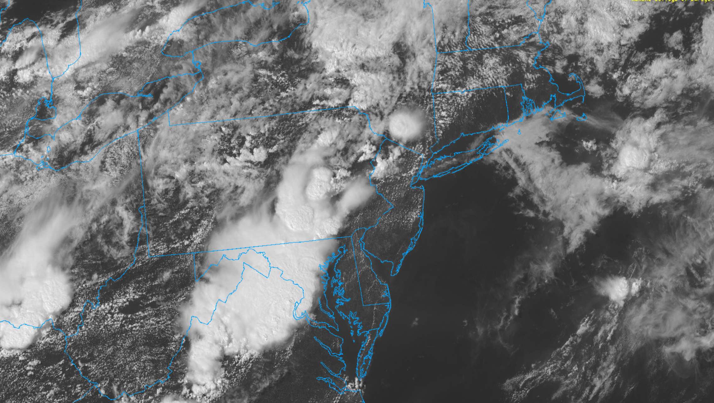
Highlights: Heat will continue for the next few days, and a Heat Advisory remains in effect for the NYC Metro Area through Monday. Showers and storms are possible on Tuesday with a front passing the area. Seasonable conditions are then expected for the remainder of the week.

QuickCast 

This afternoon: Hot and humid. Very light westerly winds, with an afternoon Seabreeze along the coast. Highs in the 90’s pretty much everywhere,

Tonight: Warm and humid weather continues, with lows in the 70’s. No weather hazards to speak of.

Monday (7/27): Partly cloudy with hot and humid weather continuing. This will be the hottest day of the week, with Heat Index values reaching near or over 100 F throughout a large part of the area.

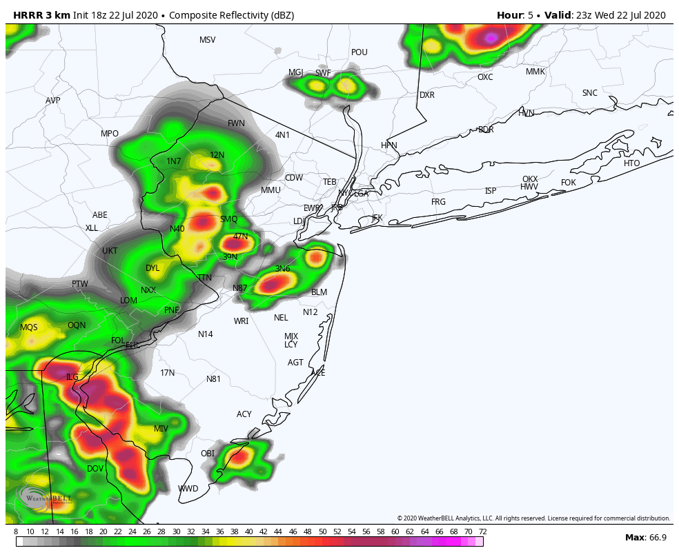
Tuesday (7/28): A frontal boundary approaches the area, leading to the chance of showers and storms. Highs in the lower 90’s are still likely, with showers and storms during the afternoon. A few could be strong or severe.

Extended Forecast Discussion

Conditions will trend more seasonable as we move into the middle and latter portion of the upcoming week. High temperatures are likely to average from the mid 80’s to lower 90’s throughout the area, with very little chance of precipitation. In fact, conditions look mostly dry from Wednesday into the weekend. Humidity will also trend a bit lower during this time.

As we move towards next weekend, temperatures should begin to warm above seasonal averages again, and humidity will increase as ridging builds back in towards the area. Expect highs to begin creeping back into the lower 90’s during this time, with dew points returning to slightly more uncomfortable levels.

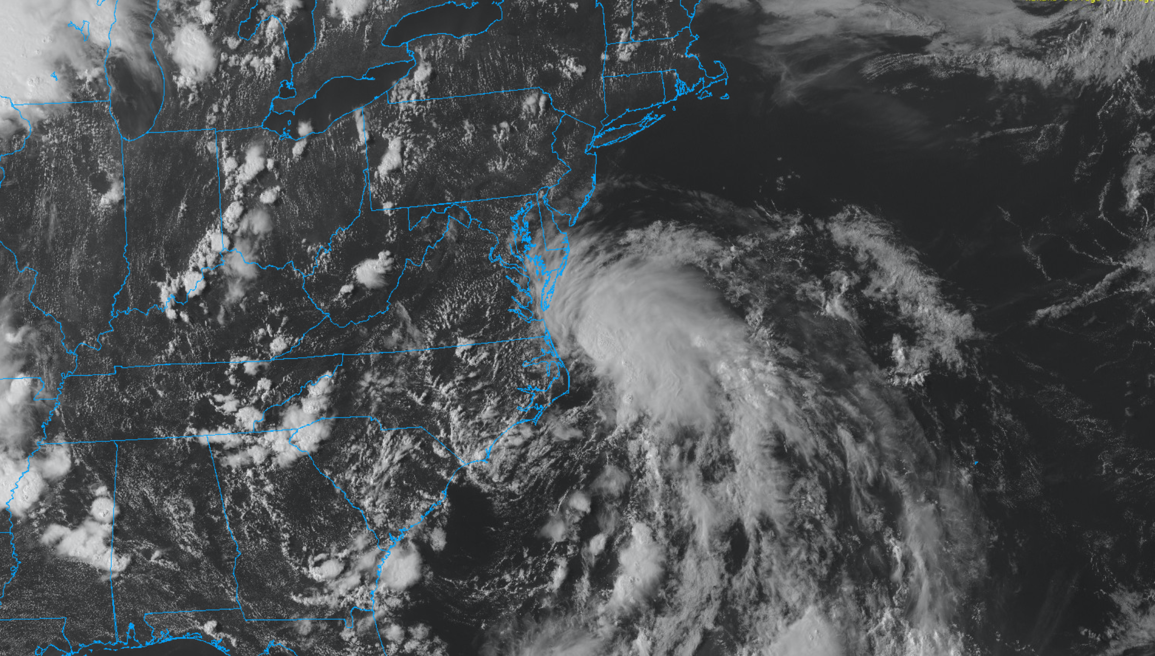
Eyes will more than likely turn to the tropics during this time as well, with disturbance 92L forecast by almost all ensemble guidance to gradually move towards the United States. Uncertainty is extremely high in regards to the systems eventual development and track, but the synoptic weather pattern across the Atlantic Ocean and North America suggests that we should keep an eye on it. We’ll have a separate article on 92L later today.

NYC Area Forecast: Severe storms today, tropics active again

Alerts: Severe Thunderstorm Watch in NJ and NYC until 10:00pm. Heat Advisory on Thursday afternoon.

Highlights: Strong to severe thunderstorms are possible this afternoon and evening. Heat will continue through the weekend, and may peak early next week. Additional showers and storms are possible on Tuesday before temporarily cooler weather arrives.

QuickCast 

Hazards: Thunderstorms could produce strong, gusty winds and dangerous lightning today. Excessive heat is possible on Thursday afternoon.

This afternoon: Showers and thunderstorms have developed across Eastern Pennsylvania this afternoon, and will shift eastwards through New Jersey and towards parts of the NYC Metro Area later today. Periods of heavy rainfall are expected from the late afternoon into the early evening as these storms shift into more substantial instability.

  • Hazards: Strong gusty winds, small hail, dangerous lightning, flooding
  • Timing: Through 10pm
HRRR model showing strong and severe storms impacting the area later this evening.

Tonight: Showers and storms could persist into the early evening, but will gradually taper off. Lows will fall into the mid 70’s.

Thursday (7/23): Partly cloudy and more calm with slightly lower humidity. Highs will still reach the lower 90’s. Heat Advisory in effect during the afternoon hours for Heat Index values approaching 100 F.

Friday (7/24): Isolated to scattered showers and thunderstorms will be possible again during the afternoon and evening hours. Otherwise, the weather will be hot and humid once again. Partly cloudy, with highs in the lower 90’s.

Extended Forecast

Hot and humid weather will continue for a few more days, perhaps peaking on Monday when temperatures could reach the upper 90’s. Heat Index values could eclipse 100 F again. We anticipate Heat Advisories to be issued again by the National Weather Service as we draw closer. Active conditions will return by Tuesday, as a disturbance drops into the area from Canada. A front approaching the region could lead to showers and storms on Tuesday afternoon and evening, some of which could be strong to severe. Temporarily cooler weather (relatively speaking) is then expected by midweek.

Tropical Activity Returns

Tropical Storm Gonzalo formed earlier today in the Atlantic, and is expected to track westwards towards the Caribbean over the next five days. The system is expected to gradually strengthen, and could eventually become a hurricane. Additionally, Invest 91L in the Gulf of Mexico is expected to strengthen into a Tropical Depression at some point over the next day or so. This system should track westwards towards the Western Gulf of Mexico, perhaps eventually impacting parts of Texas with very heavy rainfall.

Comet Neowise visible from NYC this week

Skywatchers and astronomers across the Northern Hemisphere are in for one heck of a treat over the next week. Comet Neowise, a retrograde comet which passed close to the sun on July 3rd, 2020, is the brightest comet visible from earth in the last 23 years.

The comet has brightened by 100 times over the past two weeks, and is expected to continue brightening in the past few days. It is clearly visible in the evening and early morning skies across the Northeast United States, and will remain that way until next week. From that point forward, the comet will begin to fade away – and won’t be seen again for another 6,800 years.

Read more

Tropical Storm Warning issued for NYC, NJ as Fay moves northward

Tropical Storm Fay officially formed on Thursday evening, designated by the National Hurricane Center at 5:00pm EDT. The tropical disturbance had spent the day strengthening and organizing in the warm waters off the coast of North Carolina. The storm will shift quickly northward, impacting the NYC Area with heavy rain and wind on Friday. A Tropical Storm Warning is in effect for the NYC Metro Area from 6:00am on July 10th through 2:00am on July 11th.

Maximum sustained winds are currently near 60 miles per hour and the storm is moving a northward at 12mph. Over the next 12 hours, the storm is expected to pick up speed and move to a position near Tom’s River, NJ by 5pm on Friday. By 8am Saturday, Tropical Storm Fay will be well inland over New York State or Vermont and weakening to Tropical Depression.

Read more