-2")
Storm Chase 2017 Day 1: Cap concerns, analysis and more
It’s hard to describe what the first day of storm chasing feels like. A rush of blood and a little bit of pain. We’re heading out on the road, with a pit stop in Minneapolis’ North Loop neighborhood for breakfast and a coffee. While we’re on the topic — can’t speak highly enough about this city. A true gem in the middle of the country. We’ve taken time this morning to dive into a more detailed analysis of what to expect over the next few days and have narrowed down our targeting.
Saturday (Today)
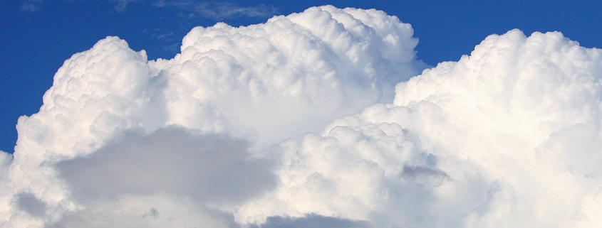
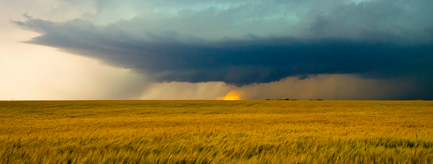
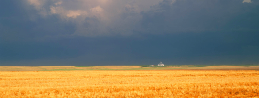
After much discussion and deliberation, we have decided to head into Northern/Northwestern Wisconsin this afternoon. Confidence in the development of severe convection is currently extremely low. Uncertainties stem from the presence of an elevated mixed layer and capping. Essentially, these are functions in the atmosphere that act as a lid to prevent air from rising to form thunderstorms.