NYC Area Weekend Forecast: Pleasant, but remaining very cold

Weekend Weather Rating | 6/10 (Fair)

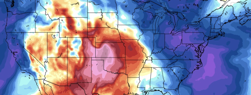
It has been quite some time since we’ve been able to take a break from forecasting significant winter storms, or at least look ahead at a time period where the potential for one didn’t exist. We’ve finally made it to that point! The weather this weekend will be much more quiet compared to the past several days – with sunny conditions generally expected across the Northeast states. Temperatures, however, will be several degrees below normal, with highs only in the 40’s and low temperatures remaining very cold overnight.

Read more

Wintry pattern expected to return by early March

And you thought the worst was over.

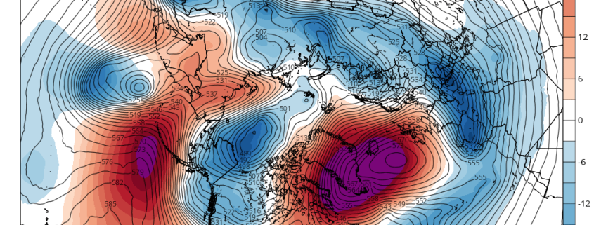
For the past few weeks, we’ve been chatting both on our blog and internally with enterprise clients regarding the development of a Sudden Stratospheric Warming event (SSW). In laymen terms, this occurs when a rapid temperature rise occurs in the Arctic stratosphere. In this situation, the stratospheric polar vortex has split in two, and rapid (nearly record breaking) warming has occurred in the stratosphere, particularly in the Arctic regions of the North Atlantic and across the North Pole.

We wrote last week and a few weeks back about the importance of this event – how stratospheric warming, when coupled properly with the troposphere (where our weather occurs) can have a significant impact on our weather by promoting high latitude ridging and blocking. We are starting to see these exact things come to roost on forecast models – and we’ll explain why we have higher than normal confidence in wintry weather returning to the Eastern United States by the first day of March.

Read more

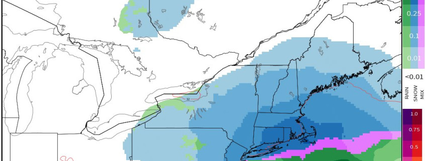
Tuesday Briefing: Northeast Snow This Weekend Before Big Warmth Next Week?

Good afternoon! Overall the pattern will continue to be progressive until at least Friday. Canadian high pressure will provide mostly sunny skies for rest of today. Temperatures  are rising into the mid-upper 30s. Which is few degrees below normal. But the next few days will start see temperature moderate again, as southerly flow develops again. High temperatures on Wednesday will be in the mid-upper 40s. Then highs and Thursday and Friday will be the 50s or 60s, depending on amount of cloud cover.

Read more

High latitude blocking a key in the late February forecast

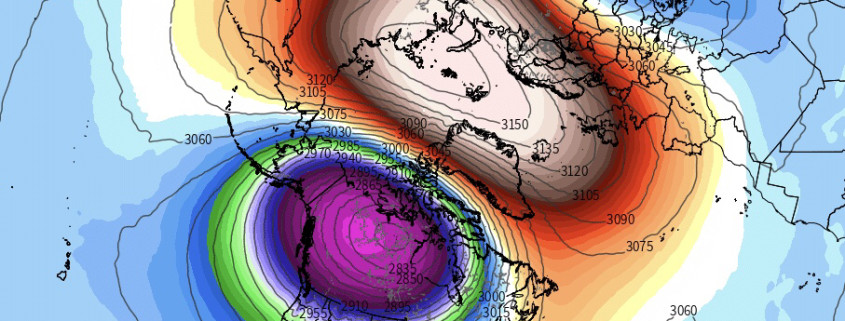
Over the past several days you have probably heard about a Sudden Stratospheric Warming event (SSW) — over, and over, and over again. With good reason, too – the event is important. We spoke about it several days back and will touch on it here again. Forecast models continue to suggest the development of a  very impressive stratospheric warming event over the next few days, beginning in just 24-48 hours and continuing through next week. The stratospheric vortex itself will split in two, with the dominant sister vortex centering over Canada.

Warmer than normal temperatures and higher than normal heights will surge into the stratosphere near the North Pole and Arctic regions. Most notably, the stratosphere and troposphere are well coupled heading into the event, which means the warming in the stratosphere will have “maximum impacts” on the atmosphere as a whole – with the troposphere reacting to the warming event happening above rather quickly.

Read more