More Tranquil Weather Today, Showers & T-Storms Return By Friday

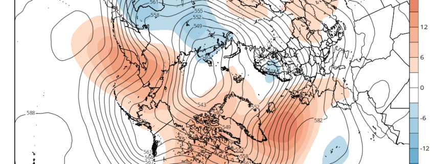
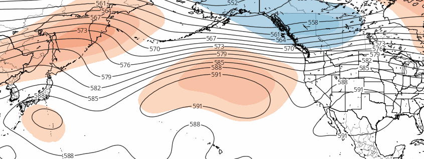
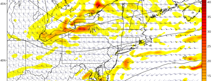
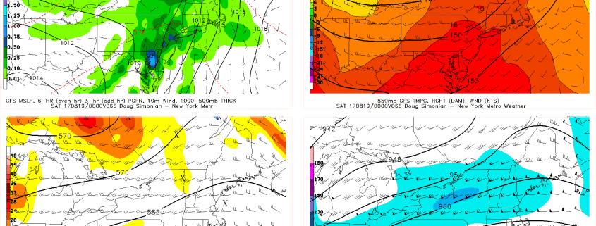
Happy Wednesday, everyone! High pressure and upper-level ridging from the Great Lakes/Ohio Valley gradually builds into Northeast and Mid-Atlantic regions over the next couple days. This will allow for some more pleasant, warm and dry to continue today and much of Thursday. Then more unsettled weather will be returning with an increasing chance of showers and thunderstorms over the Northeast during Thursday night and Friday, as a frontal system moves through. But some improving weather is expected over the weekend. Read further for more forecast details through this weekend and a look at the weather for next week!

Read more

Midday AG Update: Retrogression Theme Remains

Happy Tuesday! We’re going to dive straight into the latest model guidance today and detail some of the latest available information. Fortunately, there has not been much of a change in last night’s and this morning’s guidance — a good signal that the retrogression ideas discussed in yesterday’s AG update are in fact holding true. You always want to see the signal persist and move up in time on model guidance when trying to verify sensible weather changes taking place, and that is indeed what we are seeing.

For a frame of reference, we are going to use this morning’s GEFS model. The conditions right now reveal an amplified pattern in the United States with some deep troughs present (blues) and a large blocking pattern in Canada (reds). This has helped to keep a good chunk of the Eastern two thirds of the US below average in temperatures, as well as active in terms of precipitation. Read more

AM AG Update: Impacts of a retrograding Pacific pattern

Happy Monday, folks! We hope our morning update finds you well. We’re going to jump straight in to some developments which we communicated over the weekend, and take a bit of a deeper look at their evolution and impacts. About 5 days ago, we discussed at length the pattern which currently existed across the Northern Hemisphere — including why it had become so stagnant. We also discussed the pieces behind the potential for a change during the latter half of the month of August, namely the pattern in the Pacific Ocean. As we move towards the middle of the month,  medium range forecast ensembles are starting to pick up on these gradual changes as well.

Read more

Pleasant Weather Today, Isolated PM T-Storms Tuesday, More Unsettled Late Week

Good Morning and Happy Monday! Today will be another pleasant warm day. This will allow for a return flow and more mid-high level clouds to filter and mix with sunshine as the day goes on. Humidity will also increase a little bit later this afternoon. But overall it will be pleasant warm summer day, with high temperatures in the lower to middle 80s this afternoon. A light southeast flow may keep temperatures slightly cooler along the shore.

Partly cloudy skies are expected through tonight  A weak upper-level disturbance will be moving through early tonight. But there will be little or no instability tonight. So only a slight chance for some isolated showers. Most areas will be dry. Some areas of patchy fog may also develop late tonight, especially along coastal areas, as onshore flow enhances low-level moisture underneath inversion. Cloud cover will keep temperatures warmer tonight. Low temperatures will likely be in the lower to middle 60s over the Interior areas and in upper 60s to near 70 over more urban and coastal areas.

Read more