Premium PM Update: Very Warm, More Humid Midweek…More Unsettled Late Week

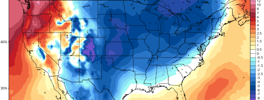
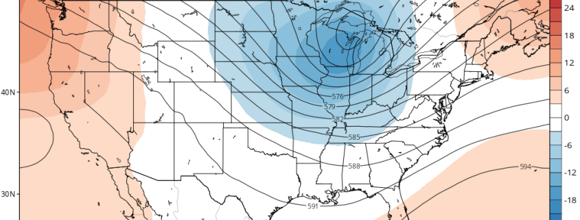
After some cooler than normal and dreary weather much of last week, more summer-like weather returns this week. This afternoon we already saw temperatures in the mid-upper 80s. The next few days will feature warmer than average temperatures. However, more unsettled weather may be arriving by the end of this week, as a large trough and frontal boundary approaches from the west. Meanwhile, Tropical Storm Emily over Florida today, will be moving out to sea later this week.

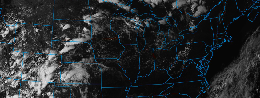
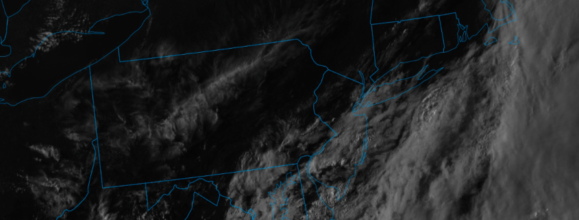
First for tonight, mostly tranquil and comfortable conditions are expected. A few isolated showers or thunderstorms that developed over Interior NY and PA, will diminish this evening, as a surface trough and instability weakens. Then skies will be clear to partly cloudy for the rest of tonight, with low temperatures ranging from the 60s over the Interior to lower 70s near the coast. If skies clear enough, some of the interior valleys and Pine Barrens may drop into the mid-upper 50s by daybreak, with more radiational cooling. Some areas of patchy fog may also develop over Interior valleys overnight.

Read more

Video: Outlook over the Next 7-10 Days

Good morning! After a very cool start to the day, temperatures should rebound nicely this afternoon into the upper 80s — perhaps touching 90 in the warm spots. Humidity will remain mostly low today, but will increase later this afternoon. We can’t completely rule out an isolated shower or thunderstorm, but any storms that do form look weak and should stay to our west and north. Thus, we should mainly remain mostly sunny today. The same general story looks to continue on Tuesday, though with more persistent humidity for the entire day. Wednesday will be similar as well, but with perhaps a slightly better chance of showers and thunderstorms. Some sea-breezes are likely along the immediate coast, keeping temperatures a few degrees cooler.

A bigger trough will be forming in the Central US on Thursday and make a trek towards our area. Our pattern will thus become more “troughy”, which could mean a few more clouds and a slightly better chance of showers and thunderstorms on Thursday and Friday afternoon than in the first half of the week. But we do not anticipate anything particularly hazardous at this point. The core of this big trough will arrive on Saturday, when perhaps a bit more widespread shower and thunderstorm activity is possible — with heavy downpours potentially being a threat. But once this front moves through, a shot of Autumn air is likely. This general trough will stay in the region from Sunday through at least a decent chunk of next week — though the core of the “chillier” air will probably stay to our west.

The above video has all of the details!

Sunday PM Update: Warming, transitional weather ahead

Good evening! We hope you had a wonderful Sunday. The weather today was impressively pleasant – especially by late July standards – with low humidity values and plentiful sunshine. High temperatures in the lower 80’s were fairly common throughout the Northeast states, although it did remain a touch cooler in parts of the interior. The low humidity and pleasant weather will continue into the evening tonight and through Monday morning.

Gradually, this week, higher heights are expected to build into the region in the mid levels of the atmosphere. This denotes the presence of a mid level atmospheric ridge, and while its presence will remain most stout in the Central United States, it will briefly extend its reach towards the Northeast during the middle part of this upcoming week. The result will be building surface high pressure and warmer surface low — with warmer temperatures each day that goes by.

Read more

PM Update: Improving conditions, unsettled long range

Good evening! We hope you all had a wonderful Saturday – the second half of the day turned out nicer than the first, as expected. A large coastal storm system which affected the Mid Atlantic states yesterday is gradually shifting away from the region, and will continue to do so through tonight. This will open the door for higher pressure to move into the Northeast states tonight, with temperatures remaining solidly below average for this time of year.

Gradual improvements to the weather forecast are expected to continue into Sunday, as high pressure builds further into the region. Temperatures are expected to rebound, with a warmer flow gradually developing into the Northeast states. Highs will be several degrees warmer on Sunday than they were today, reaching the middle 80’s in many areas away from the immediate coast.

Read more