-2")
Public Analysis: Snow Squalls Possible Today, Unsettled Next Week
As we head into the end of the workweek this afternoon and evening, most of the area is experiencing quite the contrast from what we were looking at this time last week. Some heavier snow showers and temperatures in the teens are possible this afternoon and evening, with a cold weekend likely. Continuing the theme of this winter, a return to more above-normal temperatures is possible as early as Monday.
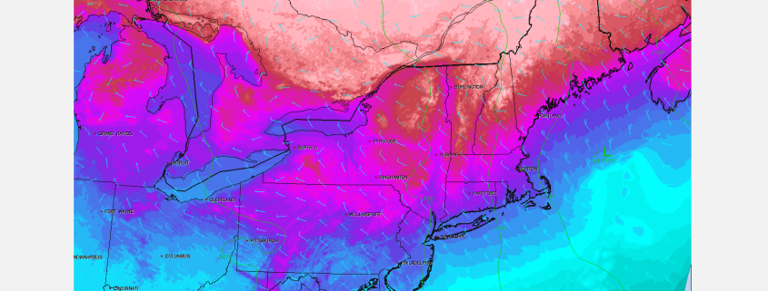
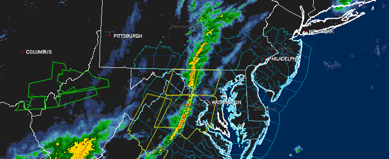
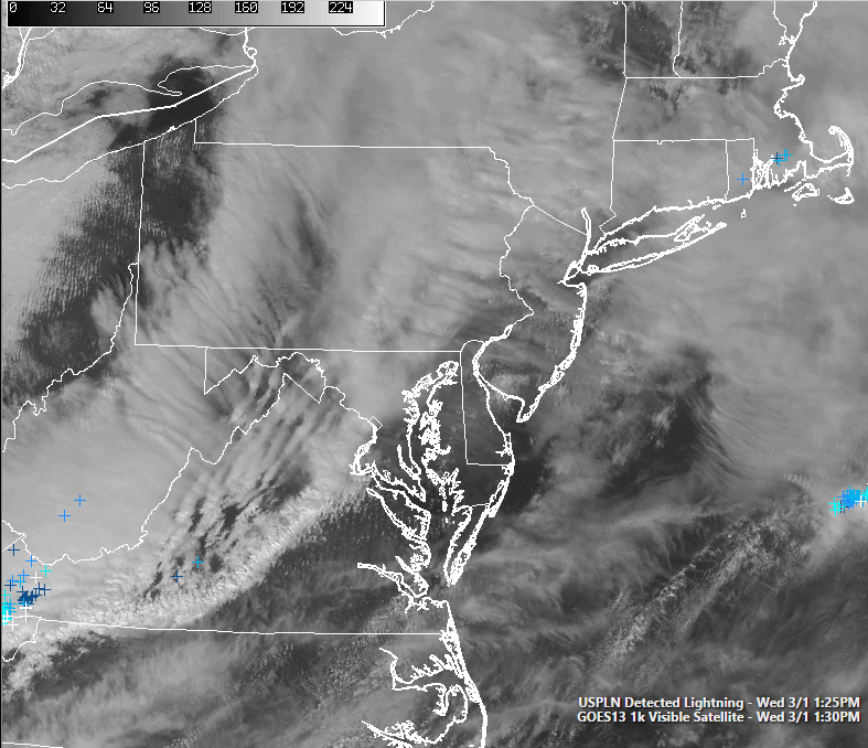
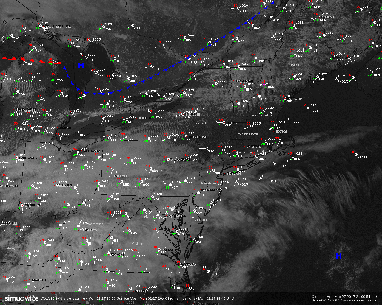
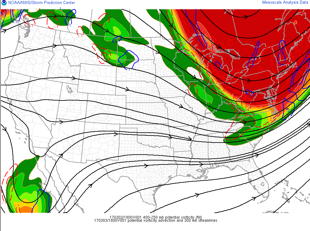
If we take a look at the visible satellite imagery this afternoon, we can see that there are numerous clouds associated with a very large and potent upper level system that is responsible for the impressive temperature drop we have seen over the past day or so across the area. This upper level system is also responsible for producing widespread snow showers and snow squalls, courtesy of very steep lapse rates (which is the difference of temperature with height). As of 2pm, the majority of these squalls were located over Pennsylvania and even though they do not look too impressive on radar, these squalls have been responsible for numerous car accidents as they are able to reduce visibility down to near-zero in less than a minute.
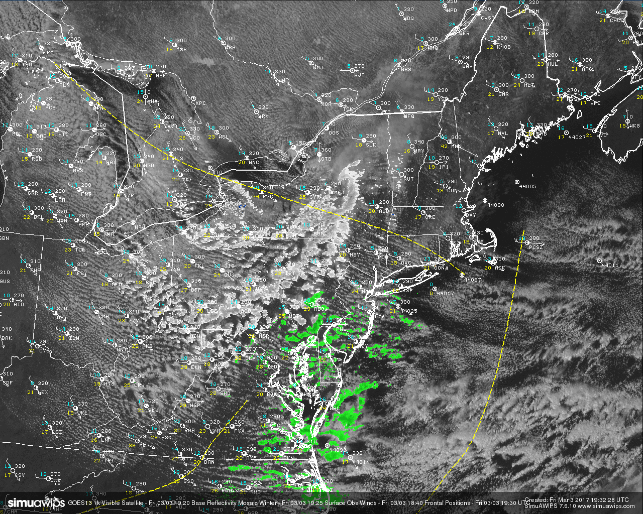
Current visible satellite imagery along with radar and surface observations showing numerous heavy snow squalls over PA (Courtesy of Simuawips.com)
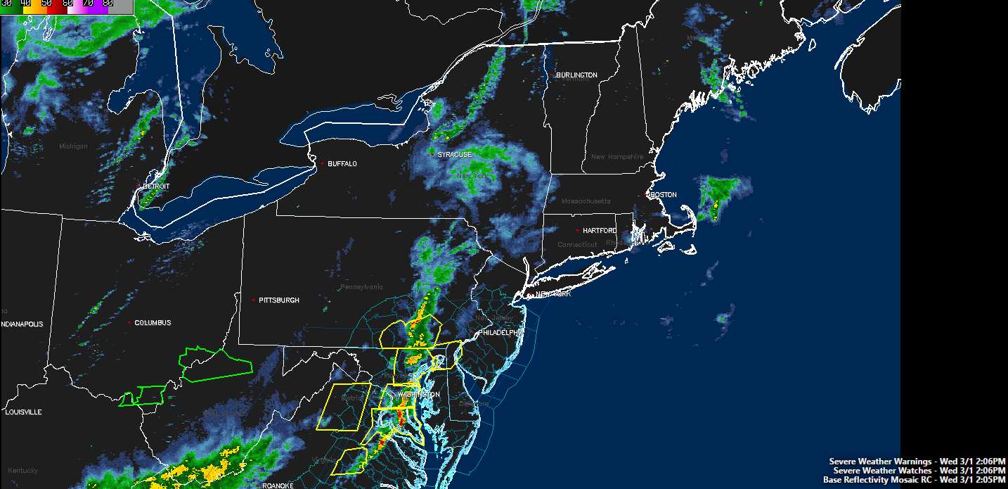
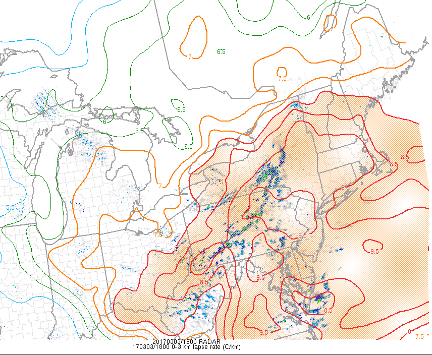
As the afternoon continues on and the atmosphere nearly maxes out the low level lapse rates as we head toward sunset, these snow squalls should continue east and possibly affect the NYC metro area by 4-6pm and 6-8pm for Long Island and Connecticut. Though these squalls may be slightly weaker by the time they reach the area, they will still be capable of rapidly dropping visibility, rapidly dropping temperatures, making roads very slick, as well as producing some gusty winds which may knock some small branches off of trees. Please exercise extreme caution if caught in these squalls, especially as we get closer to the afternoon commute. Due to the more spread-out nature and quick movement of these squalls, any accumulations should be limited to a trace in all locations.
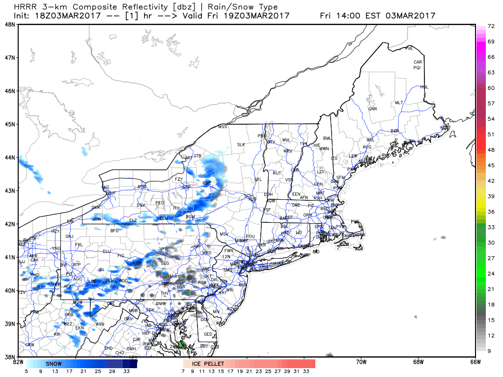
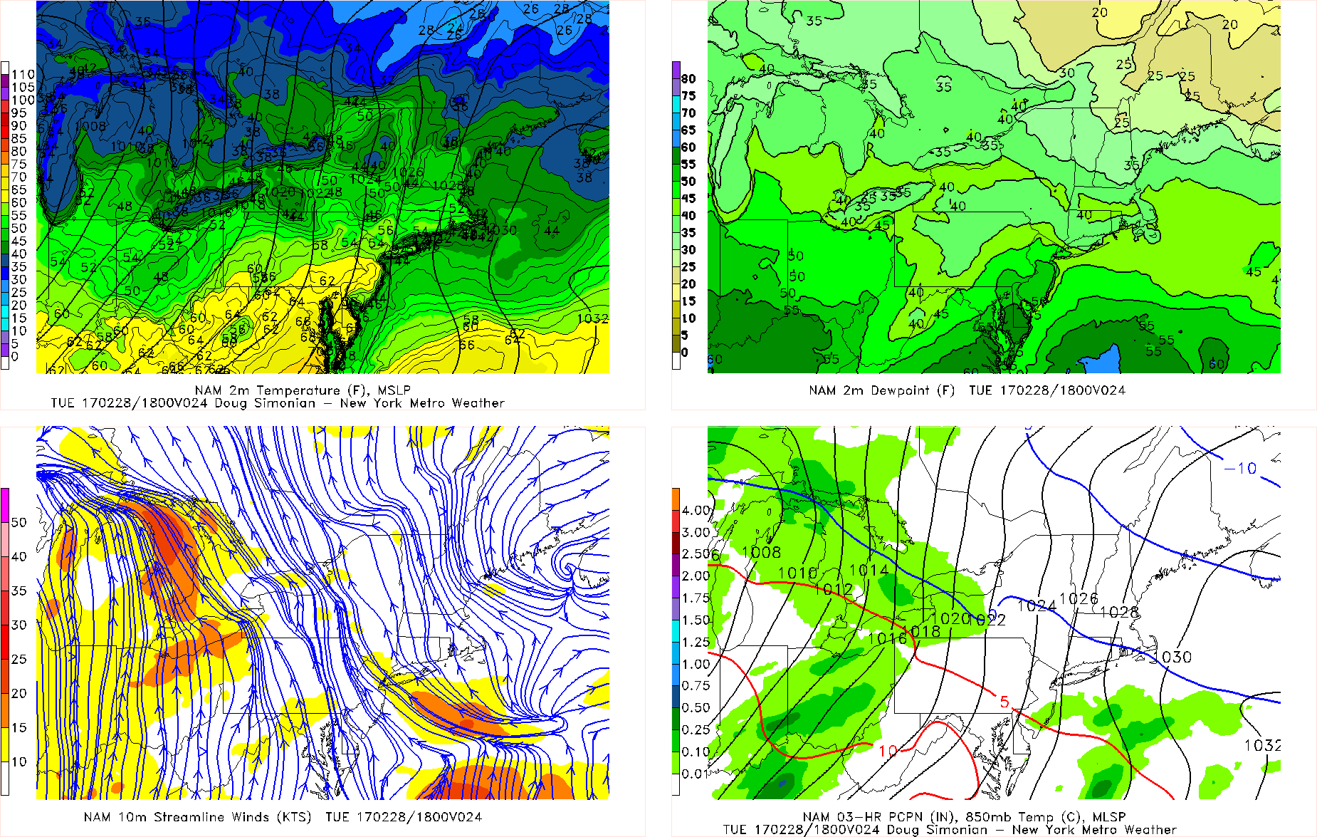
HRRR model showing snow showers and possible heavier snow squalls working their way into the area this afternoon and evening
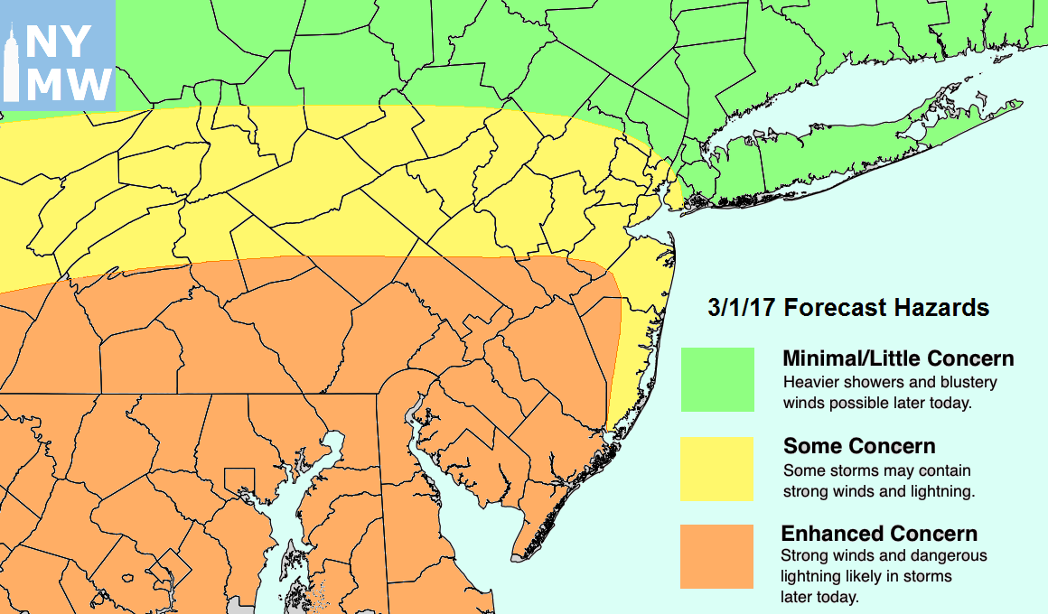
Later this evening, clearing skies and a very cold airmass above our heads will easily allow temperatures to drop down into the teens for inland areas and into the 20’s for locations closer to the coast, which is a massive departure from what we have experienced over the past week with lows in the 50’s! We expect the below normal temperatures to continue into tomorrow behind the large upper level system, with highs only being able to reach into the upper 20’s and low 30’s across the area. Due to a somewhat impressive pressure gradient draped over the region, there will be the potential for some gusty winds which will make it feel quite chilly throughout the day tomorrow with windchills in the single digits and teens. The winds should begin to die down towards sunset as clear skies once again dominate the area with another cold night on tap, with lows in the teens and even single digits across the area. Sunday looks to also be slightly below average with temperatures in the 30’s as an area of high pressure begins to take control over the area, which will reduce any winds and make it a much more bearable day. Overall, it should be a much more seasonable weekend, with mostly clear and dry conditions expected both Saturday and Sunday.
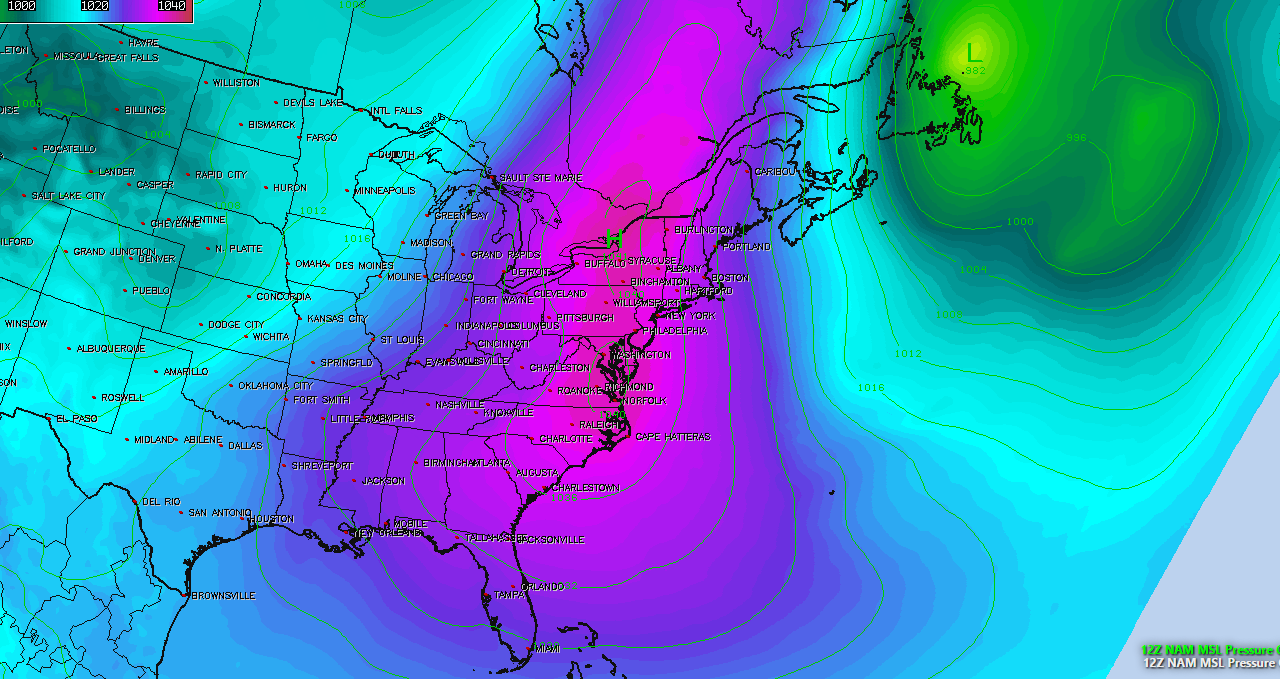
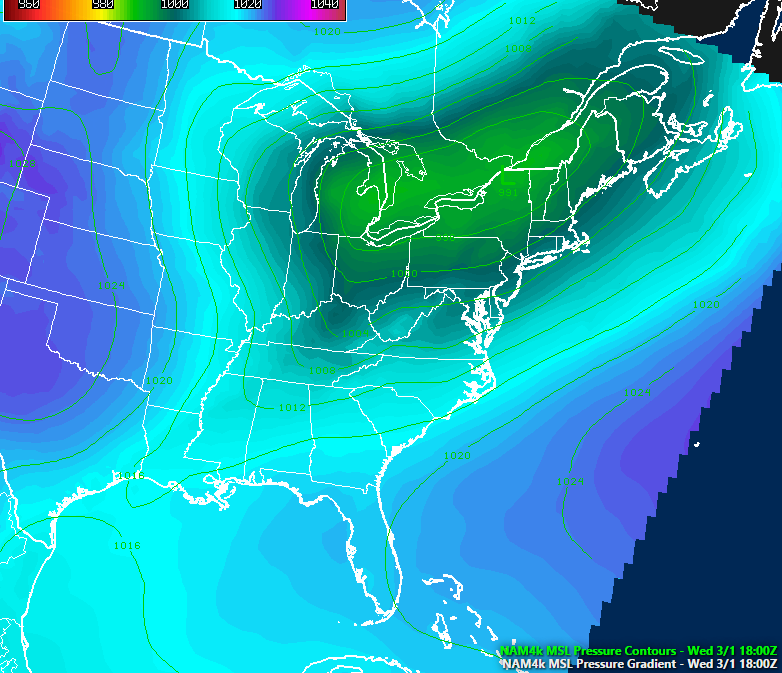
NAM model showing a large area of low pressure directly over our area by Sunday afternoon, providing calm and cold conditions
As we head into Monday, the large area of high pressure over the Northeast should begin to exit to our east and position itself off of the Mid-Atlantic coast. This will allow above normal temperatures to work their way into the region from the south as a large low pressure area looks to track into the Mid-West, which may provide a chance at some heavier precipitation by Wednesday morning and afternoon as a cold front works its way through the Northeast. Model guidance diverges significantly once we reach the end of the next week, but there does exist the potential for another return to below-normal temperatures if we are able to sustain high-latitude blocking near Greenland. This is all very uncertain right now, so make sure to stay tuned over the next few days for more updates on this evolving weather pattern!
For more information and posts like this one, make sure you sign up for Zone Forecasts — where multiple detailed articles, videos, and interactives are posted each day.
Have a great day!
Steve Copertino
